1807 Curtis Dr North Augusta, SC 29841
Estimated Value: $265,000 - $297,056
3
Beds
3
Baths
1,960
Sq Ft
$143/Sq Ft
Est. Value
About This Home
This home is located at 1807 Curtis Dr, North Augusta, SC 29841 and is currently estimated at $280,514, approximately $143 per square foot. 1807 Curtis Dr is a home located in Aiken County with nearby schools including Hammond Hill Elementary School, Paul Knox Middle School, and North Augusta High School.
Ownership History
Date
Name
Owned For
Owner Type
Purchase Details
Closed on
Feb 13, 2008
Sold by
Macafee John Andrew
Bought by
Macafee Heather B
Current Estimated Value
Home Financials for this Owner
Home Financials are based on the most recent Mortgage that was taken out on this home.
Original Mortgage
$85,000
Outstanding Balance
$53,024
Interest Rate
5.85%
Mortgage Type
New Conventional
Estimated Equity
$227,490
Purchase Details
Closed on
Feb 23, 2000
Sold by
Hud
Bought by
Pate Cryste
Create a Home Valuation Report for This Property
The Home Valuation Report is an in-depth analysis detailing your home's value as well as a comparison with similar homes in the area
Home Values in the Area
Average Home Value in this Area
Purchase History
| Date | Buyer | Sale Price | Title Company |
|---|---|---|---|
| Macafee Heather B | -- | None Available | |
| Pate Cryste | $56,600 | -- |
Source: Public Records
Mortgage History
| Date | Status | Borrower | Loan Amount |
|---|---|---|---|
| Open | Macafee Heather B | $85,000 |
Source: Public Records
Tax History Compared to Growth
Tax History
| Year | Tax Paid | Tax Assessment Tax Assessment Total Assessment is a certain percentage of the fair market value that is determined by local assessors to be the total taxable value of land and additions on the property. | Land | Improvement |
|---|---|---|---|---|
| 2023 | $650 | $6,490 | $1,453 | $145,500 |
| 2022 | $633 | $6,480 | $0 | $0 |
| 2021 | $635 | $6,480 | $0 | $0 |
| 2020 | $559 | $5,640 | $0 | $0 |
| 2019 | $559 | $5,640 | $0 | $0 |
| 2018 | $561 | $5,640 | $1,060 | $4,580 |
| 2017 | $532 | $0 | $0 | $0 |
| 2016 | $533 | $0 | $0 | $0 |
| 2015 | $484 | $0 | $0 | $0 |
| 2014 | $485 | $0 | $0 | $0 |
| 2013 | -- | $0 | $0 | $0 |
Source: Public Records
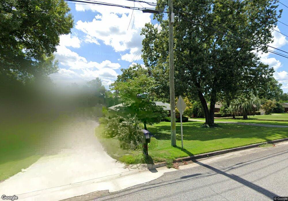
Map
Nearby Homes
- 924 W Martintown Rd
- 5093 Anna Creek Way
- 793 Big Pine Rd
- 1425 Brookgreen Dr
- 1833 Pisgah Rd
- 1904 Riley Ct
- 1414 Brookgreen Dr
- 1415 Brookgreen Dr
- 1912 Coulter Dr
- 4041 Jane Ln Unit 9b
- Mill Creek Plan at Forrest Bluff
- Ridgeway II Plan at Forrest Bluff
- 1772 Plan at Forrest Bluff
- 1570 Plan at Forrest Bluff
- Bradford Plan at Forrest Bluff
- 1313 Plan at Forrest Bluff
- 1486 Plan at Forrest Bluff
- 1575 Plan at Forrest Bluff
- 1797 Plan at Forrest Bluff
- 1580 Plan at Forrest Bluff
- 1809 Curtis Dr
- 1805 Curtis Dr
- 1811 Curtis Dr
- 1808 Courtney Dr
- 1810 Courtney Dr
- 1803 Curtis Dr
- 1806 Curtis Dr
- 1804 Curtis Dr
- 1812 Courtney Dr
- 1806 Courtney Dr
- 1813 Curtis Dr
- 1808 Curtis Dr
- 1801 Curtis Dr
- 1814 Courtney Dr
- 1802 Curtis Dr
- 1810 Curtis Dr
- 1928 Byrnes Rd
- 1815 Curtis Dr
- 1816 Courtney Dr
- 1807 Courtney Dr