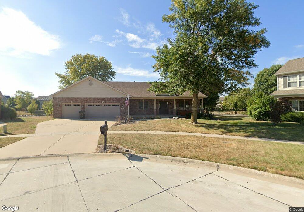
1807 Cypress Pointe Ct Mahomet, IL 61853
Estimated Value: $405,000 - $476,000
--
Bed
--
Bath
--
Sq Ft
0.32
Acres
About This Home
This home is located at 1807 Cypress Pointe Ct, Mahomet, IL 61853 and is currently estimated at $440,953. 1807 Cypress Pointe Ct is a home located in Champaign County with nearby schools including Middletown Prairie Elementary and First School.
Ownership History
Date
Name
Owned For
Owner Type
Purchase Details
Closed on
Mar 28, 2024
Sold by
Lindsey Family Protection Trust and Lindsey Timothy C
Bought by
Haney Bryce
Current Estimated Value
Home Financials for this Owner
Home Financials are based on the most recent Mortgage that was taken out on this home.
Original Mortgage
$356,000
Outstanding Balance
$350,569
Interest Rate
6.77%
Mortgage Type
New Conventional
Estimated Equity
$90,384
Purchase Details
Closed on
Jan 3, 2024
Sold by
Lindsey Timothy C and Lindsey Brenda L
Bought by
Lindsey Family Protection Trust and Lindsey
Purchase Details
Closed on
May 11, 2018
Sold by
Swenson Jon L and Swenson Denise D
Bought by
Lindsey Timothy C and Lindsey Brenda L
Home Financials for this Owner
Home Financials are based on the most recent Mortgage that was taken out on this home.
Original Mortgage
$323,910
Interest Rate
4.44%
Mortgage Type
New Conventional
Create a Home Valuation Report for This Property
The Home Valuation Report is an in-depth analysis detailing your home's value as well as a comparison with similar homes in the area
Home Values in the Area
Average Home Value in this Area
Purchase History
| Date | Buyer | Sale Price | Title Company |
|---|---|---|---|
| Haney Bryce | $445,000 | None Listed On Document | |
| Lindsey Family Protection Trust | -- | None Listed On Document | |
| Lindsey Timothy C | $360,000 | Attorney |
Source: Public Records
Mortgage History
| Date | Status | Borrower | Loan Amount |
|---|---|---|---|
| Open | Haney Bryce | $356,000 | |
| Previous Owner | Lindsey Timothy C | $323,910 |
Source: Public Records
Tax History Compared to Growth
Tax History
| Year | Tax Paid | Tax Assessment Tax Assessment Total Assessment is a certain percentage of the fair market value that is determined by local assessors to be the total taxable value of land and additions on the property. | Land | Improvement |
|---|---|---|---|---|
| 2024 | $7,310 | $115,320 | $23,890 | $91,430 |
| 2023 | $7,310 | $104,840 | $21,720 | $83,120 |
| 2022 | $6,735 | $95,150 | $20,020 | $75,130 |
| 2021 | $6,762 | $89,930 | $18,920 | $71,010 |
| 2020 | $6,640 | $88,420 | $18,600 | $69,820 |
| 2019 | $6,474 | $87,030 | $18,310 | $68,720 |
| 2018 | $6,291 | $85,160 | $17,920 | $67,240 |
| 2017 | $6,043 | $81,110 | $17,070 | $64,040 |
| 2016 | $6,013 | $81,110 | $17,070 | $64,040 |
| 2015 | $6,052 | $81,110 | $17,070 | $64,040 |
| 2014 | $5,919 | $79,750 | $16,780 | $62,970 |
| 2013 | $5,909 | $79,750 | $16,780 | $62,970 |
Source: Public Records
Map
Nearby Homes
- 1804 Horizon Ct
- 1808 S Orchard Dr
- 710 Wheatley Dr
- 706 Wheatley Dr
- 200 Riverbend Blvd
- 1511 River Bluff Ct
- Eldridge Plan at Whisper Meadow
- Ridgecrest 1865 Plan at Whisper Meadow
- Ridgeland Plan at Whisper Meadow
- Wellington Plan at Whisper Meadow
- Greenbriar Plan at Whisper Meadow
- Douglas 1730 Plan at Whisper Meadow
- Chatsworth Plan at Whisper Meadow
- 1101 S Mcdougal Rd
- Ridgeland 2236 Plan at Harvest Edge
- Ridgecrest 1865 Plan at Harvest Edge
- Greenbriar 2299 Plan at Harvest Edge
- Douglas 1730 Plan at Harvest Edge
- Wellington 2117 Plan at Harvest Edge
- Chatsworth 2046 Plan at Harvest Edge
- 1805 Cypress Pointe Ct
- 1809 Cypress Pointe Ct
- 1810 Cypress Pointe Ct
- 1803 Cypress Pointe Ct
- 401 E Orchard Dr
- 1808 Cypress Pointe Ct
- 1810 S Brook Ct
- 403 E Orchard Dr
- 303 E Orchard Dr
- 1801 Cypress Pointe Ct
- 1801 Cypress Pointe Ct Unit 1
- 1808 S Brook Ct
- 405 E Orchard Dr
- 1806 Cypress Pointe Ct
- 1703 Cypress Pointe Ct
- 1802 Horizon Ct
- 1809 S Brook Ct
- 407 E Orchard Dr
- 1804 Cypress Pointe Ct
- 1806 S Brook Ct