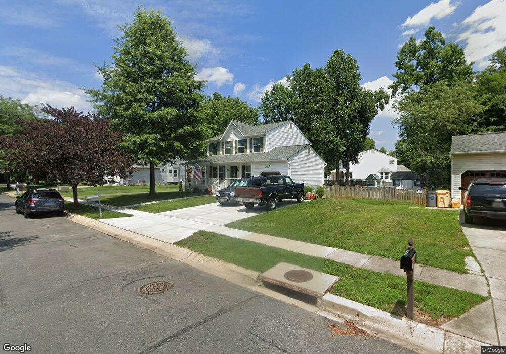
1807 Labrott Ln Annapolis, MD 21401
Estimated Value: $565,000 - $636,000
Studio
3
Baths
1,700
Sq Ft
$361/Sq Ft
Est. Value
About This Home
This home is located at 1807 Labrott Ln, Annapolis, MD 21401 and is currently estimated at $614,119, approximately $361 per square foot. 1807 Labrott Ln is a home located in Anne Arundel County with nearby schools including Rolling Knolls Elementary School, Wiley H. Bates Middle School, and Annapolis High School.
Ownership History
Date
Name
Owned For
Owner Type
Purchase Details
Closed on
Sep 9, 2003
Sold by
Dameron Jeffrey
Bought by
Basso Peter J and Basso Janice C
Current Estimated Value
Purchase Details
Closed on
Jun 18, 2002
Sold by
Wheeless Craig L
Bought by
Dameron Jeffrey and Dameron Amy M
Purchase Details
Closed on
Jan 2, 1998
Sold by
Greenwood Development Corp
Bought by
Wheeless Craig L
Create a Home Valuation Report for This Property
The Home Valuation Report is an in-depth analysis detailing your home's value as well as a comparison with similar homes in the area
Home Values in the Area
Average Home Value in this Area
Purchase History
| Date | Buyer | Sale Price | Title Company |
|---|---|---|---|
| Basso Peter J | $325,000 | -- | |
| Dameron Jeffrey | $294,900 | -- | |
| Wheeless Craig L | $213,169 | -- |
Source: Public Records
Mortgage History
| Date | Status | Borrower | Loan Amount |
|---|---|---|---|
| Closed | Wheeless Craig L | -- |
Source: Public Records
Tax History
| Year | Tax Paid | Tax Assessment Tax Assessment Total Assessment is a certain percentage of the fair market value that is determined by local assessors to be the total taxable value of land and additions on the property. | Land | Improvement |
|---|---|---|---|---|
| 2025 | $4,531 | $475,600 | -- | -- |
| 2024 | $4,531 | $437,500 | $0 | $0 |
| 2023 | $3,906 | $399,400 | $188,400 | $211,000 |
| 2022 | $4,102 | $395,400 | $0 | $0 |
| 2020 | $3,928 | $387,400 | $188,400 | $199,000 |
| 2019 | $3,860 | $378,500 | $0 | $0 |
| 2018 | $3,748 | $369,600 | $0 | $0 |
| 2017 | $3,630 | $360,700 | $0 | $0 |
| 2016 | -- | $354,967 | $0 | $0 |
| 2015 | -- | $349,233 | $0 | $0 |
| 2014 | -- | $343,500 | $0 | $0 |
Source: Public Records
Map
Nearby Homes
- 92 Clifford Blvd
- 810 Midship Ct
- 807 Eastern Point Rd
- 1909 Eleanor Ct
- 2510 Painter Ct
- 1907 Mackiebeth Ct
- 1943 Marconi Cir
- 926 Perry Landing Ct
- 1955 Marconi Cir
- 2568 Forest Knoll
- 1984 Marconi Cir
- 516 Kansala Dr
- 2731 Yeomans Lantern Ct
- 1010 Mastline Dr
- 905 Scupper Ct
- 930 Astern Way Unit 512
- 930 Astern Way Unit 405
- 940 Astern Way Unit 309
- 2568 Glen Cove
- 934 Chesterfield Rd
- 1805 Labrott Ln
- 1813 Labrott Ln
- 1803 Labrott Ln
- 1811 Labrott Ln
- 1812 Labrott Ln
- 1815 Labrott Ln
- 109 Yellowtwig Ln
- 1814 Labrott Ln
- 108 Yellowtwig Ln
- 1801 Labrott Ln
- 1817 Labrott Ln
- 1816 Labrott Ln
- 107 Yellowtwig Ln
- 1819 Labrott Ln
- 1800 Labrott Ln
- 1818 Labrott Ln
- 106 Yellowtwig Ln
- 1802 Labrott Ln
- 105 Yellowtwig Ln
- 105 Yellow Twig Ln
Your Personal Tour Guide
Ask me questions while you tour the home.