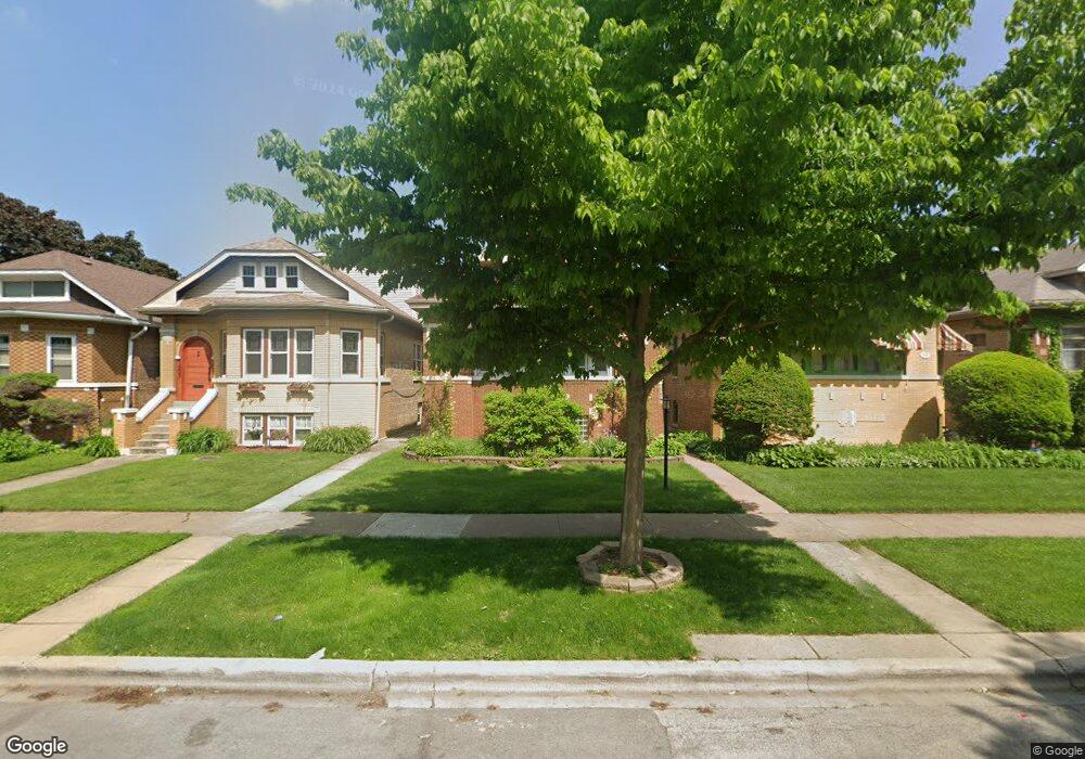
1807 Wenonah Ave Berwyn, IL 60402
Estimated Value: $324,000 - $348,000
4
Beds
2
Baths
1,368
Sq Ft
$246/Sq Ft
Est. Value
About This Home
This home is located at 1807 Wenonah Ave, Berwyn, IL 60402 and is currently estimated at $336,461, approximately $245 per square foot. 1807 Wenonah Ave is a home located in Cook County with nearby schools including Jefferson Elementary School, Lincoln Middle School, and J. Sterling Morton High School West.
Ownership History
Date
Name
Owned For
Owner Type
Purchase Details
Closed on
Oct 31, 2020
Sold by
Sahagun Isaias C and Sahagun Elisa B
Bought by
Marquette Bank
Current Estimated Value
Purchase Details
Closed on
Nov 18, 1996
Sold by
Halpin Leonard J and Reda Renee A
Bought by
Sahagun Isaias C and Sahagun Elisa B
Home Financials for this Owner
Home Financials are based on the most recent Mortgage that was taken out on this home.
Original Mortgage
$123,000
Interest Rate
8.18%
Create a Home Valuation Report for This Property
The Home Valuation Report is an in-depth analysis detailing your home's value as well as a comparison with similar homes in the area
Home Values in the Area
Average Home Value in this Area
Purchase History
| Date | Buyer | Sale Price | Title Company |
|---|---|---|---|
| Marquette Bank | -- | First American Title | |
| Sahagun Isaias C | -- | -- |
Source: Public Records
Mortgage History
| Date | Status | Borrower | Loan Amount |
|---|---|---|---|
| Previous Owner | Sahagun Isaias C | $123,000 |
Source: Public Records
Tax History Compared to Growth
Tax History
| Year | Tax Paid | Tax Assessment Tax Assessment Total Assessment is a certain percentage of the fair market value that is determined by local assessors to be the total taxable value of land and additions on the property. | Land | Improvement |
|---|---|---|---|---|
| 2024 | $6,927 | $25,094 | $6,120 | $18,974 |
| 2023 | $4,154 | $28,000 | $6,120 | $21,880 |
| 2022 | $4,154 | $16,522 | $5,304 | $11,218 |
| 2021 | $2,805 | $16,522 | $5,304 | $11,218 |
| 2020 | $2,544 | $16,522 | $5,304 | $11,218 |
| 2019 | $3,120 | $15,888 | $4,794 | $11,094 |
| 2018 | $3,003 | $17,453 | $4,794 | $12,659 |
| 2017 | $2,859 | $17,453 | $4,794 | $12,659 |
| 2016 | $3,448 | $12,432 | $3,978 | $8,454 |
| 2015 | $3,294 | $12,432 | $3,978 | $8,454 |
| 2014 | $4,154 | $14,700 | $3,978 | $10,722 |
| 2013 | $3,858 | $15,264 | $3,978 | $11,286 |
Source: Public Records
Map
Nearby Homes
- 1615 Wenonah Ave
- 1618 Wenonah Ave
- 1620 Clinton Ave
- 1835 Home Ave
- 1531 Wenonah Ave
- 1547 Clinton Ave
- 1819 Kenilworth Ave
- 1916 Kenilworth Ave
- 1413 Wisconsin Ave
- 1833 Oak Park Ave
- 2115 Kenilworth Ave
- 1409 Harlem Ave
- 1329 Wisconsin Ave
- 1324 Clinton Ave
- 1341 Kenilworth Ave
- 1336 Grove Ave
- 1434 Circle Ave
- 2220 Clinton Ave
- 2221 Home Ave
- 2212 Grove Ave
- 1809 Wenonah Ave
- 1803 Wenonah Ave
- 1801 Wenonah Ave
- 1811 Wenonah Ave
- 1813 Wenonah Ave
- 1815 Wenonah Ave
- 1819 Wenonah Ave
- 1812 Home Ave
- 1800 Home Ave
- 1645 Wenonah Ave
- 1821 Wenonah Ave
- 1808 Wenonah Ave
- 1804 Wenonah Ave
- 1810 Wenonah Ave
- 1643 Wenonah Ave
- 1812 Wenonah Ave
- 1814 Wenonah Ave
- 1818 Home Ave
- 1648 Home Ave
- 1822 Home Ave