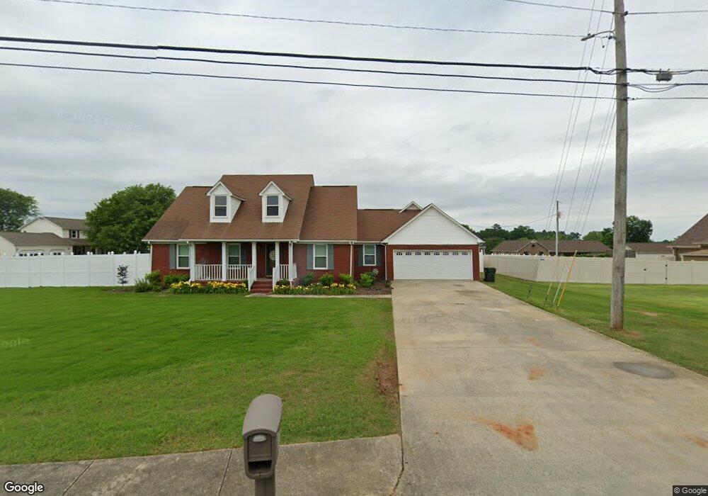
18075 Brownsferry Rd Athens, AL 35611
Estimated Value: $320,000 - $370,000
--
Bed
1
Bath
2,202
Sq Ft
$155/Sq Ft
Est. Value
About This Home
This home is located at 18075 Brownsferry Rd, Athens, AL 35611 and is currently estimated at $342,185, approximately $155 per square foot. 18075 Brownsferry Rd is a home with nearby schools including Athens Intermediate School, SPARK Academy at Cowart Elementary, and Athens Middle School.
Ownership History
Date
Name
Owned For
Owner Type
Purchase Details
Closed on
Aug 31, 2018
Sold by
Lacasse John T and Lacasse Mary J
Bought by
Craig Mary Jean and Craig Miles Andrew
Current Estimated Value
Home Financials for this Owner
Home Financials are based on the most recent Mortgage that was taken out on this home.
Original Mortgage
$170,000
Outstanding Balance
$148,264
Interest Rate
4.6%
Mortgage Type
New Conventional
Estimated Equity
$193,921
Purchase Details
Closed on
Aug 16, 2005
Sold by
Toon George A and Toon Glenda F
Bought by
Lacasse John T and Lacasse Mary J
Home Financials for this Owner
Home Financials are based on the most recent Mortgage that was taken out on this home.
Original Mortgage
$148,400
Interest Rate
5.64%
Create a Home Valuation Report for This Property
The Home Valuation Report is an in-depth analysis detailing your home's value as well as a comparison with similar homes in the area
Home Values in the Area
Average Home Value in this Area
Purchase History
| Date | Buyer | Sale Price | Title Company |
|---|---|---|---|
| Craig Mary Jean | $1,700,000 | None Available | |
| Lacasse John T | -- | -- |
Source: Public Records
Mortgage History
| Date | Status | Borrower | Loan Amount |
|---|---|---|---|
| Open | Craig Mary Jean | $170,000 | |
| Previous Owner | Lacasse John T | $148,400 |
Source: Public Records
Tax History Compared to Growth
Tax History
| Year | Tax Paid | Tax Assessment Tax Assessment Total Assessment is a certain percentage of the fair market value that is determined by local assessors to be the total taxable value of land and additions on the property. | Land | Improvement |
|---|---|---|---|---|
| 2024 | $1,106 | $28,980 | $0 | $0 |
| 2023 | $1,106 | $27,600 | $0 | $0 |
| 2022 | $892 | $23,620 | $0 | $0 |
| 2021 | $754 | $20,180 | $0 | $0 |
| 2020 | $725 | $19,460 | $0 | $0 |
| 2019 | $676 | $18,220 | $0 | $0 |
| 2018 | $1,358 | $33,940 | $0 | $0 |
| 2017 | $1,574 | $39,360 | $0 | $0 |
| 2016 | $1,574 | $196,830 | $0 | $0 |
| 2015 | $1,574 | $39,360 | $0 | $0 |
| 2014 | $1,547 | $0 | $0 | $0 |
Source: Public Records
Map
Nearby Homes
- 17805 Tipper Ln
- 17781 Tipper Ln
- 17793 Tipper Ln
- 17759 Tipper Ln
- 17501 Martin Dr
- 17738 Emma Jo Ln
- 1412 Bridgewater Place
- 17768 Emma Jo Ln
- 17776 Emma Jo Ln
- 17812 Emma Jo Ln
- 17688 Brownsferry Rd
- 1709 Lillian Dr
- 17309 Ferry Rd
- 1509 Nella Dr
- 16088 Lucas Ferry Rd
- 1505 Nella Dr
- 16231 W Glenn Valley Dr
- 5 Lucas Ferry Rd
- TRACT 3 Lucas Ferry Rd
- Tract 2 Lucas Ferry Rd
- 17794 Collins St
- 17585 Jeffery St
- 17561 Jeffery St
- 18119 Brownsferry Rd
- 17816 Collins St
- 17603 Jeffery St
- 17838 Collins St
- 18139 Brownsferry Rd
- 17625 Jeffery St
- 18005 Brownsferry Rd
- 17807 Collins St
- 17858 Collins St
- 18159 Brownsferry Rd
- 17839 Collins St
- 15462 Clodessa Dr
- 15484 Clodessa Dr
- 17876 Collins St
- 17859 Collins St
- 17985 Brownsferry Rd
- 18177 Brownsferry Rd