18079 Sands Rd Purcellville, VA 20132
Estimated Value: $774,000 - $1,277,000
4
Beds
5
Baths
3,655
Sq Ft
$287/Sq Ft
Est. Value
About This Home
This home is located at 18079 Sands Rd, Purcellville, VA 20132 and is currently estimated at $1,047,532, approximately $286 per square foot. 18079 Sands Rd is a home located in Loudoun County with nearby schools including Emerick Elementary School, Blue Ridge Middle School, and Loudoun Valley High School.
Ownership History
Date
Name
Owned For
Owner Type
Purchase Details
Closed on
Nov 8, 2022
Sold by
Douglas Brown H and Best Nancy
Bought by
H Douglas Brown Living Trust and Nancy Best Brown Living Trust
Current Estimated Value
Purchase Details
Closed on
Jul 29, 1998
Sold by
Meadow View Farm
Bought by
Brown H Douglas
Home Financials for this Owner
Home Financials are based on the most recent Mortgage that was taken out on this home.
Original Mortgage
$191,000
Interest Rate
6.78%
Mortgage Type
Purchase Money Mortgage
Create a Home Valuation Report for This Property
The Home Valuation Report is an in-depth analysis detailing your home's value as well as a comparison with similar homes in the area
Home Values in the Area
Average Home Value in this Area
Purchase History
| Date | Buyer | Sale Price | Title Company |
|---|---|---|---|
| H Douglas Brown Living Trust | -- | -- | |
| Brown H Douglas | $221,407 | -- |
Source: Public Records
Mortgage History
| Date | Status | Borrower | Loan Amount |
|---|---|---|---|
| Previous Owner | Brown H Douglas | $191,000 |
Source: Public Records
Tax History Compared to Growth
Tax History
| Year | Tax Paid | Tax Assessment Tax Assessment Total Assessment is a certain percentage of the fair market value that is determined by local assessors to be the total taxable value of land and additions on the property. | Land | Improvement |
|---|---|---|---|---|
| 2025 | $5,908 | $733,900 | $345,240 | $388,660 |
| 2024 | $6,173 | $713,600 | $313,450 | $400,150 |
| 2023 | $5,911 | $675,520 | $249,850 | $425,670 |
| 2022 | $5,856 | $657,930 | $231,240 | $426,690 |
| 2021 | $5,017 | $593,010 | $282,300 | $310,710 |
| 2020 | $5,058 | $569,710 | $262,300 | $307,410 |
| 2019 | $4,235 | $562,060 | $262,300 | $299,760 |
| 2018 | $4,238 | $545,000 | $262,300 | $282,700 |
| 2017 | $4,435 | $549,100 | $262,300 | $286,800 |
| 2016 | $4,516 | $394,420 | $0 | $0 |
| 2015 | $4,431 | $390,440 | $107,370 | $283,070 |
| 2014 | $4,295 | $371,840 | $85,950 | $285,890 |
Source: Public Records
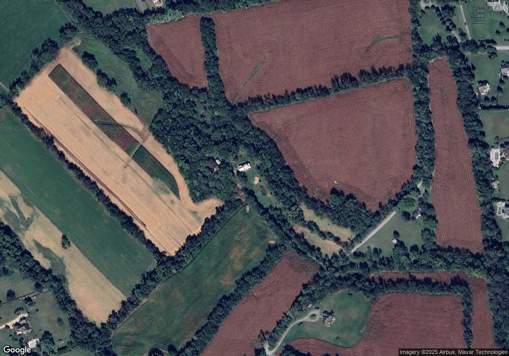
Map
Nearby Homes
- Hillsboro Plan at Woodside Acres
- Robey Plan at Woodside Acres
- Chapman Plan at Woodside Acres
- Aquinnah Plan at Woodside Acres
- Millwright II Plan at Woodside Acres
- The Ashton I Plan at Valley Springs Estates
- The Ashton II Plan at Valley Springs Estates
- The Oakhall Plan at Valley Springs Estates
- The Elmsgate Plan at Valley Springs Estates
- 3 Springbury Dr
- 648 Elliot Dr
- 37517 Bernardini Ct
- TBD Bates Dr
- 609 S Maple Ave
- 115 Frazer Dr
- 113 Frazer Dr
- 221 S Maple Ave
- 17443 Aldershot Place
- 17412 Madison Ave
- 420 S 20th St
- 18060 Sands Rd
- 37953 Sayre Ct
- 37971 Sayre Ct
- 37990 Alberts Farm Dr
- 37949 Sayre Ct
- 38019 Sayre Ct
- 37989 Sayre Ct
- 18118 Sands Rd
- 18022 Sands Rd
- 38023 Sayre Ct
- 18137 Sands Rd
- 37957 Alberts Farm Dr
- 18128 Sands Rd
- 37954 Sayre Ct
- 17943 Manassas Gap Ct
- 38045 Sayre Ct
- 17957 Manassas Gap Ct
- 37930 Sayre Ct
- 37935 Alberts Farm Dr
- 18025 Manassas Gap Ct