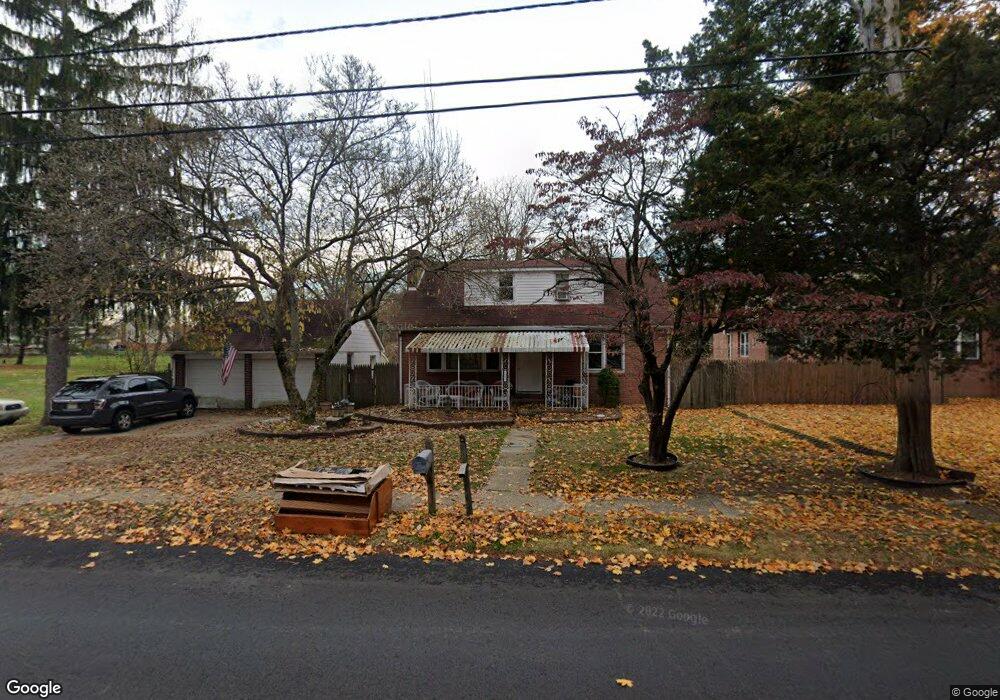
1808 Almonesson Rd Woodbury, NJ 08096
Deptford Township NeighborhoodEstimated Value: $322,334 - $357,000
--
Bed
--
Bath
1,523
Sq Ft
$221/Sq Ft
Est. Value
About This Home
This home is located at 1808 Almonesson Rd, Woodbury, NJ 08096 and is currently estimated at $336,084, approximately $220 per square foot. 1808 Almonesson Rd is a home located in Gloucester County with nearby schools including Deptford Township High School and Holy Angels Catholic School.
Ownership History
Date
Name
Owned For
Owner Type
Purchase Details
Closed on
Aug 30, 2000
Sold by
Dempsey Michael and Dempsey Carol A
Bought by
Hunsberger Robert P and Hunsberger Blanche Dipaul
Current Estimated Value
Home Financials for this Owner
Home Financials are based on the most recent Mortgage that was taken out on this home.
Original Mortgage
$82,000
Outstanding Balance
$29,886
Interest Rate
8.1%
Estimated Equity
$306,198
Create a Home Valuation Report for This Property
The Home Valuation Report is an in-depth analysis detailing your home's value as well as a comparison with similar homes in the area
Home Values in the Area
Average Home Value in this Area
Purchase History
| Date | Buyer | Sale Price | Title Company |
|---|---|---|---|
| Hunsberger Robert P | $102,500 | Surety Title Corporation |
Source: Public Records
Mortgage History
| Date | Status | Borrower | Loan Amount |
|---|---|---|---|
| Open | Hunsberger Robert P | $82,000 |
Source: Public Records
Tax History Compared to Growth
Tax History
| Year | Tax Paid | Tax Assessment Tax Assessment Total Assessment is a certain percentage of the fair market value that is determined by local assessors to be the total taxable value of land and additions on the property. | Land | Improvement |
|---|---|---|---|---|
| 2025 | $6,152 | $171,600 | $28,600 | $143,000 |
| 2024 | $5,955 | $171,600 | $28,600 | $143,000 |
| 2023 | $5,955 | $171,600 | $28,600 | $143,000 |
| 2022 | $5,912 | $171,600 | $28,600 | $143,000 |
| 2021 | $5,828 | $171,600 | $28,600 | $143,000 |
| 2020 | $5,761 | $171,600 | $28,600 | $143,000 |
| 2019 | $5,651 | $171,600 | $28,600 | $143,000 |
| 2018 | $5,524 | $171,600 | $28,600 | $143,000 |
| 2017 | $5,376 | $171,600 | $28,600 | $143,000 |
| 2016 | $5,266 | $171,600 | $28,600 | $143,000 |
| 2015 | $5,103 | $171,600 | $28,600 | $143,000 |
| 2014 | $4,971 | $171,600 | $28,600 | $143,000 |
Source: Public Records
Map
Nearby Homes
- 0 Ethel Ave
- 47 Jones Ave
- 1924 Rosemore Ave
- 1918 Point Pleasant Ave
- 1832 County House Rd
- 0 Summit Ave
- 114 Carnation Dr
- 1554 Good Intent Rd
- 1602 Almonesson Rd
- 434 Summit Ave
- 1515 Hurffville Rd
- 427 Fern Ave
- 2029 Konrad Ave
- 230 Hampshire Dr
- 432 Oak Ave
- 439 Pine Ave
- 415 Rankin Ave
- 1284 Hurffville Rd
- 28 Hemlock Dr
- 436 Rankin Ave
- 1800 Almonesson Rd
- 1812 Almonesson Rd
- 1649 Clarence Ave
- 1816 Almonesson Rd
- 1794 Almonesson Rd
- 1805 Almonesson Rd
- 1650 Clarence Ave
- 1824 Almonesson Rd
- 1795 Almonesson Rd
- 1819 Almonesson Rd
- 1788 Almonesson Rd
- 1649 Ethel Ave
- 122 Crestview Dr
- 1830 Almonesson Rd
- 1645 Clarence Ave
- 120 Crestview Dr
- 124 Crestview Dr
- 1815 Almonesson Rd
- 1838 Almonesson Rd
- 118 Crestview Dr