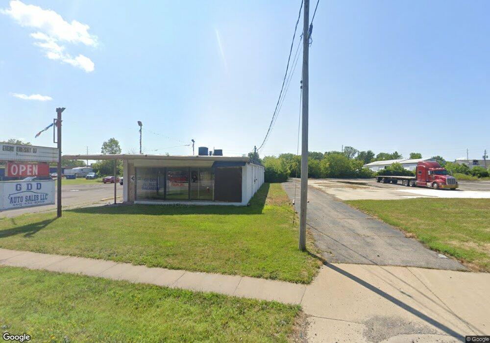
1808 Henderson Dr Lorain, OH 44052
Estimated Value: $90,633
Studio
--
Bath
6,698
Sq Ft
$14/Sq Ft
Est. Value
About This Home
This home is located at 1808 Henderson Dr, Lorain, OH 44052 and is currently priced at $90,633, approximately $13 per square foot. 1808 Henderson Dr is a home located in Lorain County with nearby schools including Hawthorne Elementary School, Longfellow Middle School, and Lorain High School.
Ownership History
Date
Name
Owned For
Owner Type
Purchase Details
Closed on
Feb 26, 2008
Sold by
Hilton Rhonda
Bought by
Hilton Rodney
Current Estimated Value
Purchase Details
Closed on
Mar 31, 2005
Sold by
Towner/Veard Joint Venture
Bought by
Hilton Rodney and Hilton Rhonda
Purchase Details
Closed on
Nov 9, 2004
Sold by
Faroh Richard and Faroh Sharon
Bought by
Lorain National Bank
Purchase Details
Closed on
Oct 4, 2004
Sold by
Lorain National Bank
Bought by
Towner-Veard Joint Venture
Purchase Details
Closed on
Sep 2, 1998
Sold by
Faroh Charles T
Bought by
Faroh Richard C
Purchase Details
Closed on
Aug 12, 1998
Sold by
Faroh Charles T and Faroh Irene H
Bought by
Faroh Richard C
Create a Home Valuation Report for This Property
The Home Valuation Report is an in-depth analysis detailing your home's value as well as a comparison with similar homes in the area
Home Values in the Area
Average Home Value in this Area
Purchase History
| Date | Buyer | Sale Price | Title Company |
|---|---|---|---|
| Hilton Rodney | -- | Attorney | |
| Hilton Rodney | $59,300 | 1St Nationwide Title Agency | |
| Lorain National Bank | $80,000 | -- | |
| Towner-Veard Joint Venture | $75,000 | Multiple | |
| Faroh Richard C | -- | -- | |
| Faroh Richard C | -- | -- |
Source: Public Records
Tax History
| Year | Tax Paid | Tax Assessment Tax Assessment Total Assessment is a certain percentage of the fair market value that is determined by local assessors to be the total taxable value of land and additions on the property. | Land | Improvement |
|---|---|---|---|---|
| 2024 | $3,949 | $61,824 | $18,316 | $43,509 |
| 2023 | $2,958 | $37,646 | $15,498 | $22,148 |
| 2022 | $2,929 | $37,646 | $15,498 | $22,148 |
| 2021 | $2,942 | $37,646 | $15,498 | $22,148 |
| 2020 | $3,023 | $37,650 | $15,500 | $22,150 |
| 2019 | $2,998 | $37,650 | $15,500 | $22,150 |
| 2018 | $2,551 | $37,650 | $15,500 | $22,150 |
| 2017 | $2,161 | $25,000 | $14,390 | $10,610 |
| 2016 | $2,134 | $25,000 | $14,390 | $10,610 |
| 2015 | $2,034 | $25,000 | $14,390 | $10,610 |
| 2014 | $2,111 | $25,000 | $14,390 | $10,610 |
| 2013 | $2,015 | $25,000 | $14,390 | $10,610 |
Source: Public Records
Map
Nearby Homes
- 1397 Colorado Ave
- 1528 Maine Ave
- 1545 Fillmore Ave
- 1122 F St
- 811 F St
- V/L Maryland Ave
- 2149 Hancock St
- 465 California Ave
- 326 Indiana Ave
- 289 W Marina Pkwy
- 317 Illinois Ave
- 2235 Crehore St
- 2201 Eastlawn St
- 303 Indiana Ave
- 323 California Ave
- 2240 Jackson St
- 339 Colorado Ave
- 445 Harbor Ln
- 449 Harbor Ln
- 461 Harbor Ln
- 1826 Henderson Dr
- 1735 Iowa Ave
- 1354 Colorado Ave
- 1520 Colorado Ave
- 1407 Colorado Ave
- 1339 Colorado Ave
- 1256 Bridge Dr
- 1643 Kansas Ave
- 1319 Colorado Ave
- 1270 Colorado Ave
- 1431 Colorado Ave
- 1443 Colorado Ave
- V/L Root Rd
- 1230 Colorado Ave
- 1039 Bridge St
- 1039 Bridge Dr
- 1600 Colorado Ave
- 1630 Lehigh Ave
- 1625 Kansas Ave
- 1626 Lehigh Ave
Your Personal Tour Guide
Ask me questions while you tour the home.