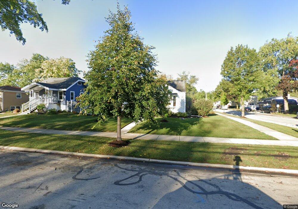
1808 Maple St Des Plaines, IL 60018
Estimated Value: $308,000 - $339,045
2
Beds
1
Bath
1,002
Sq Ft
$325/Sq Ft
Est. Value
About This Home
This home is located at 1808 Maple St, Des Plaines, IL 60018 and is currently estimated at $325,261, approximately $324 per square foot. 1808 Maple St is a home located in Cook County with nearby schools including South Elementary School, Algonquin Middle School, and Maine West High School.
Ownership History
Date
Name
Owned For
Owner Type
Purchase Details
Closed on
May 23, 1997
Sold by
Meier Gerald P and Day Dawn Angela
Bought by
Lasalle National Bank and Trust #121027
Current Estimated Value
Home Financials for this Owner
Home Financials are based on the most recent Mortgage that was taken out on this home.
Original Mortgage
$100,000
Interest Rate
8.01%
Purchase Details
Closed on
Dec 2, 1994
Sold by
Gilbert Toby and Gilbert Jane
Bought by
Meier Gerald P
Home Financials for this Owner
Home Financials are based on the most recent Mortgage that was taken out on this home.
Original Mortgage
$128,200
Interest Rate
7.62%
Create a Home Valuation Report for This Property
The Home Valuation Report is an in-depth analysis detailing your home's value as well as a comparison with similar homes in the area
Home Values in the Area
Average Home Value in this Area
Purchase History
| Date | Buyer | Sale Price | Title Company |
|---|---|---|---|
| Lasalle National Bank | -- | -- | |
| Meier Gerald P | $135,000 | -- |
Source: Public Records
Mortgage History
| Date | Status | Borrower | Loan Amount |
|---|---|---|---|
| Closed | Lasalle National Bank | $100,000 | |
| Previous Owner | Meier Gerald P | $128,200 |
Source: Public Records
Tax History
| Year | Tax Paid | Tax Assessment Tax Assessment Total Assessment is a certain percentage of the fair market value that is determined by local assessors to be the total taxable value of land and additions on the property. | Land | Improvement |
|---|---|---|---|---|
| 2025 | $5,453 | $28,000 | $7,183 | $20,817 |
| 2024 | $5,453 | $24,000 | $5,986 | $18,014 |
| 2023 | $5,295 | $24,000 | $5,986 | $18,014 |
| 2022 | $5,295 | $24,000 | $5,986 | $18,014 |
| 2021 | $4,294 | $17,298 | $4,988 | $12,310 |
| 2020 | $4,290 | $17,298 | $4,988 | $12,310 |
| 2019 | $4,308 | $19,437 | $4,988 | $14,449 |
| 2018 | $5,004 | $20,167 | $4,389 | $15,778 |
| 2017 | $4,933 | $20,167 | $4,389 | $15,778 |
| 2016 | $4,910 | $20,167 | $4,389 | $15,778 |
| 2015 | $4,770 | $18,400 | $3,790 | $14,610 |
| 2014 | $4,685 | $18,400 | $3,790 | $14,610 |
| 2013 | $4,551 | $18,400 | $3,790 | $14,610 |
Source: Public Records
Map
Nearby Homes
- 1721 Prospect Ave
- 1640 S River Rd
- 1645 Illinois St
- 1689 S Elm St
- 1445 Everett Ave
- 1696 S Elm St
- 1922 Fargo Ave
- 1700 E Forest Ave
- 1990 Berry Ln
- 1370 Fargo Ave Unit E
- 2220 S Chestnut St
- 1641 E Touhy Ave
- 1629 E Touhy Ave
- 1630 Henry Ave
- 1080 Bogart St
- 38 E Touhy Ave
- 700 Florence Dr
- 2469 Parkwood Ln
- 1638 Oakwood Ave
- 2600 S Scott St
- 1818 Maple St
- 1784 Everett Ave
- 1784 Everett Ave
- 1830 Maple St
- 1807 Sycamore St
- 1795 Sycamore St
- 1819 Sycamore St
- 1786 Maple St
- 1834 Maple St
- 1827 Sycamore St
- 1823 Maple St Unit 305
- 1823 Maple St
- 1791 Sycamore St
- 1811 Everett Ave
- 1776 Maple St
- 1835 Sycamore St
- 1781 Sycamore St
- 1831 Maple St
- 1846 Maple St
- 1810 Everett Ave
Your Personal Tour Guide
Ask me questions while you tour the home.