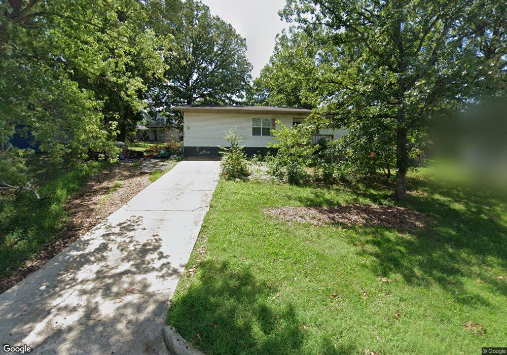
1808 Miller Dr Branson, MO 65616
North Branson NeighborhoodEstimated Value: $177,000 - $213,000
3
Beds
1
Bath
1,250
Sq Ft
$155/Sq Ft
Est. Value
About This Home
This home is located at 1808 Miller Dr, Branson, MO 65616 and is currently estimated at $193,410, approximately $154 per square foot. 1808 Miller Dr is a home located in Taney County with nearby schools including Cedar Ridge Primary, Cedar Ridge Intermediate School, and Cedar Ridge Elementary School.
Ownership History
Date
Name
Owned For
Owner Type
Purchase Details
Closed on
Feb 27, 2025
Sold by
Deckard Brian W and Kaba Sayon
Bought by
Deckard Brian W and Kaba Sayon
Current Estimated Value
Purchase Details
Closed on
Jun 12, 2013
Sold by
Mears Charles R and Mears Fely J
Bought by
Deckard Brian W
Home Financials for this Owner
Home Financials are based on the most recent Mortgage that was taken out on this home.
Original Mortgage
$68,240
Interest Rate
3.38%
Mortgage Type
FHA
Purchase Details
Closed on
Jan 12, 2011
Sold by
Modglin Joseph and Modglin Tammy
Bought by
Homesales Inc and Homesales Inc Of Delaware
Purchase Details
Closed on
May 29, 2007
Sold by
Haygood Michael
Bought by
Modglin Joseph M and Modglin Tammy M
Purchase Details
Closed on
Apr 20, 2006
Sold by
Haygood Timothy B and Faimon-Haygood Cassandre M
Bought by
Haygood Michael
Create a Home Valuation Report for This Property
The Home Valuation Report is an in-depth analysis detailing your home's value as well as a comparison with similar homes in the area
Home Values in the Area
Average Home Value in this Area
Purchase History
| Date | Buyer | Sale Price | Title Company |
|---|---|---|---|
| Deckard Brian W | -- | None Listed On Document | |
| Deckard Brian W | -- | None Available | |
| Homesales Inc | -- | Continental Title | |
| Modglin Joseph M | -- | -- | |
| Haygood Michael | -- | -- |
Source: Public Records
Mortgage History
| Date | Status | Borrower | Loan Amount |
|---|---|---|---|
| Previous Owner | Deckard Brian W | $68,240 | |
| Closed | Haygood Michael | $0 |
Source: Public Records
Tax History
| Year | Tax Paid | Tax Assessment Tax Assessment Total Assessment is a certain percentage of the fair market value that is determined by local assessors to be the total taxable value of land and additions on the property. | Land | Improvement |
|---|---|---|---|---|
| 2025 | $641 | $10,610 | -- | -- |
| 2023 | $641 | $11,980 | -- | -- |
| 2022 | $623 | $11,980 | $0 | $0 |
| 2021 | $619 | $11,980 | $0 | $0 |
| 2019 | $584 | $10,840 | $0 | $0 |
| 2018 | $585 | $10,840 | $0 | $0 |
| 2017 | $526 | $9,840 | $0 | $0 |
| 2016 | $524 | $9,840 | $0 | $0 |
| 2015 | $519 | $9,840 | $0 | $0 |
| 2014 | $476 | $9,450 | $0 | $0 |
Source: Public Records
Map
Nearby Homes
- Tbd Roark Valley Rd
- Tbd 0 Roark Valley Rd
- Lot 22 Rose Oneill Dr
- 000 W St
- 109 Cottonwood Cir
- Tbd Gretna Rd
- 000 Gretna Rd
- 5100 Gretna Rd
- 126 Cottonwood Cir
- 1293 Hillcrest Place Unit A&B
- 103 Della St
- 1211 W 76 Country Blvd
- 000 Shepherd of the Hillls Expy
- TBD W 76 Country Blvd
- 1125/1127 W 76 Country Blvd
- 102 Hero Dr
- 1203 Westwood Dr Unit A & B
- 300 N Wildwood Dr
- Lot 6 Wildwood
- 3500 Gretna Rd
- 1806 Miller Dr
- 1807 Miller Dr
- 1809 Miller Dr
- 1608 Miller Dr
- 1805 Miller Dr
- 1811 Miller Dr
- 1810 Miller Dr
- 1804 Miller Dr
- 1716 Miller Dr
- 1813 Miller Dr
- 1807 Boswell Ave
- 1812 Miller Dr
- 1805 Boswell Ave
- 1809 Boswell Ave
- 1803 Boswell Ave
- 1715 Miller Dr
- 1714 Miller Dr
- 1808 Boswell Ave
- 1804 Boswell Ave
- 1715 Boswell Ave
Your Personal Tour Guide
Ask me questions while you tour the home.