1808 Mohegan Trail Block Island, RI 02807
Estimated Value: $2,096,602 - $3,034,000
4
Beds
4
Baths
3,576
Sq Ft
$724/Sq Ft
Est. Value
About This Home
This home is located at 1808 Mohegan Trail, Block Island, RI 02807 and is currently estimated at $2,589,651, approximately $724 per square foot. 1808 Mohegan Trail is a home located in Washington County with nearby schools including Block Island School.
Ownership History
Date
Name
Owned For
Owner Type
Purchase Details
Closed on
Aug 18, 2016
Sold by
Laaman Laura L
Bought by
Laaman Laura L
Current Estimated Value
Home Financials for this Owner
Home Financials are based on the most recent Mortgage that was taken out on this home.
Original Mortgage
$0
Interest Rate
3.57%
Mortgage Type
Unknown
Create a Home Valuation Report for This Property
The Home Valuation Report is an in-depth analysis detailing your home's value as well as a comparison with similar homes in the area
Home Values in the Area
Average Home Value in this Area
Purchase History
| Date | Buyer | Sale Price | Title Company |
|---|---|---|---|
| Laaman Laura L | -- | -- |
Source: Public Records
Mortgage History
| Date | Status | Borrower | Loan Amount |
|---|---|---|---|
| Previous Owner | Laaman Laura L | $0 |
Source: Public Records
Tax History Compared to Growth
Tax History
| Year | Tax Paid | Tax Assessment Tax Assessment Total Assessment is a certain percentage of the fair market value that is determined by local assessors to be the total taxable value of land and additions on the property. | Land | Improvement |
|---|---|---|---|---|
| 2024 | $8,373 | $1,516,800 | $497,400 | $1,019,400 |
| 2023 | $10,200 | $1,694,300 | $497,400 | $1,196,900 |
| 2022 | $6,626 | $935,840 | $441,680 | $494,160 |
| 2021 | $6,270 | $935,840 | $441,680 | $494,160 |
| 2020 | $5,952 | $935,840 | $441,680 | $494,160 |
| 2019 | $5,765 | $935,840 | $441,680 | $494,160 |
| 2018 | $5,618 | $944,240 | $438,480 | $505,760 |
| 2017 | $5,533 | $944,240 | $438,480 | $505,760 |
| 2016 | $4,099 | $716,640 | $438,480 | $278,160 |
| 2015 | $2,416 | $438,500 | $438,500 | $0 |
| 2014 | $2,368 | $443,500 | $438,500 | $5,000 |
| 2013 | $2,285 | $438,500 | $438,500 | $0 |
Source: Public Records
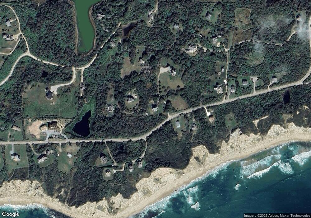
Map
Nearby Homes
- 804 Mohegan Trail
- 0 Mohegan Trail
- 1035 Mohegan Trail
- 0 Pilot Hill Rd
- 1661 Sand Pond Rd
- 1448 Mohegan Trail
- 0 Snake Hole Rd
- 194 Pilot Hill Rd
- 1087 Lakeside Dr
- 0 Spring St
- 0 Southeast Rd Unit 1381406
- 1289 High St
- 256 High St
- 481 Old Town Rd
- 1501 Beacon Hill Rd
- 1328 Cooneymus Rd
- 1596 W Side Rd
- 1557 W Side Rd
- 0 Coast Guard Rd
- 1743 Corn Neck Rd
- 801 Mohegan Trail
- 975 Mohegan Trail
- 809 Sands Pond Rd
- 1014 Mohegan Trail
- 803 Mohegan Trail
- 807 Mohegan Trail
- 1688 Mohegan Trail
- 1650 Mohegan Trail
- 662 Ministers Lot Unit 2-5
- 1631 Pilot Hill Rd
- 1634 Mohegan Trail
- 802 Lakeside Dr
- 430 Payne Rd
- 1454 Mohegan Trail
- 810 Sands Pond Rd
- 811 Off Payne Rd
- 810 Off Payne Rd
- 810 Payne Rd
- 1968 Mohegan Trail
- 1663 Mohegan Trail