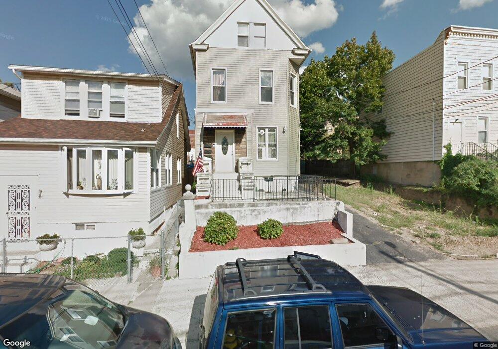
1808 Mulford Ave Bronx, NY 10461
Middletown-Pelham Bay NeighborhoodEstimated Value: $847,000 - $1,025,463
--
Bed
--
Bath
2,579
Sq Ft
$362/Sq Ft
Est. Value
About This Home
This home is located at 1808 Mulford Ave, Bronx, NY 10461 and is currently estimated at $933,116, approximately $361 per square foot. 1808 Mulford Ave is a home located in Bronx County with nearby schools including P.S. 71 Rose E Scala, Herbert H Lehman High School, and St. Theresa School.
Ownership History
Date
Name
Owned For
Owner Type
Purchase Details
Closed on
Feb 8, 2024
Sold by
Desantis Victor
Bought by
Mulford Enterprises Inc
Current Estimated Value
Purchase Details
Closed on
Dec 14, 1999
Sold by
Franco Marie
Bought by
Desantis Victor
Home Financials for this Owner
Home Financials are based on the most recent Mortgage that was taken out on this home.
Original Mortgage
$170,100
Interest Rate
8.21%
Mortgage Type
Purchase Money Mortgage
Purchase Details
Closed on
Jun 7, 1996
Sold by
Macli Bennie and Macli Salvatore
Bought by
Franco Marie
Create a Home Valuation Report for This Property
The Home Valuation Report is an in-depth analysis detailing your home's value as well as a comparison with similar homes in the area
Home Values in the Area
Average Home Value in this Area
Purchase History
| Date | Buyer | Sale Price | Title Company |
|---|---|---|---|
| Mulford Enterprises Inc | -- | -- | |
| Desantis Victor | $189,000 | Commonwealth Land Title Ins | |
| Desantis Victor | -- | Commonwealth Land Title Ins | |
| Desantis Victor | -- | Commonwealth Land Title Ins | |
| Franco Marie | -- | Commonwealth Land Title Ins | |
| Franco Marie | -- | Commonwealth Land Title Ins |
Source: Public Records
Mortgage History
| Date | Status | Borrower | Loan Amount |
|---|---|---|---|
| Previous Owner | Desantis Victor | $170,100 |
Source: Public Records
Tax History Compared to Growth
Tax History
| Year | Tax Paid | Tax Assessment Tax Assessment Total Assessment is a certain percentage of the fair market value that is determined by local assessors to be the total taxable value of land and additions on the property. | Land | Improvement |
|---|---|---|---|---|
| 2025 | $7,346 | $38,102 | $5,842 | $32,260 |
| 2024 | $7,346 | $36,576 | $6,684 | $29,892 |
| 2023 | $7,155 | $35,233 | $6,565 | $28,668 |
| 2022 | $6,377 | $48,420 | $9,660 | $38,760 |
| 2021 | $6,682 | $41,340 | $9,660 | $31,680 |
| 2020 | $6,646 | $37,800 | $9,660 | $28,140 |
| 2019 | $3,232 | $30,480 | $9,660 | $20,820 |
| 2018 | $5,985 | $29,361 | $8,012 | $21,349 |
| 2017 | $5,717 | $28,047 | $7,950 | $20,097 |
| 2016 | $5,290 | $26,460 | $9,660 | $16,800 |
| 2015 | $3,121 | $27,489 | $10,559 | $16,930 |
| 2014 | $3,121 | $25,934 | $9,962 | $15,972 |
Source: Public Records
Map
Nearby Homes
- 1826 Mulford Ave
- 1836 Mulford Ave
- 1865 Mulford Ave
- 1725 Edison Ave Unit 4C
- 1725 Edison Ave Unit 2D
- 2884 Saint Theresa Ave
- 3036 Buhre Ave
- 1926 Hutchinson River Pkwy E Unit E
- 1619 Mulford Ave
- 1932 Pilgrim Ave
- 1815 Mahan Ave
- 1950 Pilgrim Ave
- 1959B Edison Ave
- 2866 Middletown Rd
- 2935 Middletown Rd Unit B
- 1711 Mahan Ave
- 2941 Middletown Rd
- 2873 Roebling Ave
- 2868 Roebling Ave
- 2871 Zulette Ave
- 1810 Mulford Ave
- 1812 Mulford Ave
- 1814 Mulford Ave
- 1806 Mulford Ave
- 2841 Buhre Ave
- 1818 Mulford Ave
- 1804 Mulford Ave
- 2843 Buhre Ave
- 1822 Mulford Ave
- 1809 Mayflower Ave
- 2845 Buhre Ave
- 2833 Buhre Ave
- 1811 Mayflower Ave
- 1813 Mayflower Ave
- 2847 Buhre Ave
- 1815 Mayflower Ave
- 1828 Mulford Ave
- 1813 Mulford Ave
- 1811 Mulford Ave
- 1815 Mulford Ave