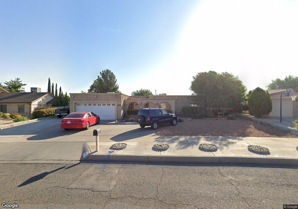
1808 Pete Brown Dr El Paso, TX 79936
Vista Del Sol NeighborhoodEstimated Value: $307,772 - $340,000
4
Beds
3
Baths
2,442
Sq Ft
$133/Sq Ft
Est. Value
About This Home
This home is located at 1808 Pete Brown Dr, El Paso, TX 79936 and is currently estimated at $325,693, approximately $133 per square foot. 1808 Pete Brown Dr is a home located in El Paso County with nearby schools including Tierra Del Sol Elementary School, J M Hanks High School, and EL PASO LEADERSHIP ACADEMY - MIDDLE EAST.
Ownership History
Date
Name
Owned For
Owner Type
Purchase Details
Closed on
Sep 10, 2003
Sold by
Baer Frederic A and Baer Nancy H
Bought by
Hernandez Jose S and Hernandez Berta
Current Estimated Value
Home Financials for this Owner
Home Financials are based on the most recent Mortgage that was taken out on this home.
Original Mortgage
$65,000
Outstanding Balance
$30,299
Interest Rate
6.31%
Mortgage Type
Purchase Money Mortgage
Estimated Equity
$295,394
Create a Home Valuation Report for This Property
The Home Valuation Report is an in-depth analysis detailing your home's value as well as a comparison with similar homes in the area
Home Values in the Area
Average Home Value in this Area
Purchase History
| Date | Buyer | Sale Price | Title Company |
|---|---|---|---|
| Hernandez Jose S | -- | -- |
Source: Public Records
Mortgage History
| Date | Status | Borrower | Loan Amount |
|---|---|---|---|
| Open | Hernandez Jose S | $65,000 |
Source: Public Records
Tax History Compared to Growth
Tax History
| Year | Tax Paid | Tax Assessment Tax Assessment Total Assessment is a certain percentage of the fair market value that is determined by local assessors to be the total taxable value of land and additions on the property. | Land | Improvement |
|---|---|---|---|---|
| 2025 | $3,614 | $292,647 | $48,679 | $243,968 |
| 2024 | $3,614 | $268,586 | -- | -- |
| 2023 | $3,525 | $244,169 | $0 | $0 |
| 2022 | $6,893 | $221,972 | $0 | $0 |
| 2021 | $6,559 | $201,793 | $33,731 | $168,062 |
| 2020 | $6,196 | $196,158 | $30,617 | $165,541 |
| 2018 | $5,969 | $191,943 | $30,617 | $161,326 |
| 2017 | $5,519 | $180,826 | $30,617 | $150,209 |
| 2016 | $5,017 | $164,136 | $30,617 | $133,519 |
| 2015 | $4,010 | $164,136 | $30,617 | $133,519 |
| 2014 | $4,010 | $164,987 | $30,617 | $134,370 |
Source: Public Records
Map
Nearby Homes
- 1868 Tom Bolt Dr
- 1817 Hugh Royer Place
- 1901 Bobby Jones Dr
- 1913 Seagull Dr
- 11204 Bob Mitchell Dr
- 2001 Bobby Jones Dr Unit A
- 1739 Jerry Abbott St
- 1804 Jerry Abbott St
- 2009 Bobby Jones Dr Unit B
- 11016 Bob Stone Dr
- 11012 Bob Stone Dr
- 1703 Robert Wynn St
- 11013 Bob Stone Dr
- 1617 Tommy Aaron Dr
- 11157 Leo Collins Dr
- 1700 Jerry Abbott St
- 1844 Jack Nicklaus Dr Unit 1846
- 1607 Tommy Aaron Dr
- 11262 Enid Wilson Ln
- 2604 Anise Dr
- 1804 Pete Brown Dr
- 1812 Pete Brown Dr
- 1819 Mike Hill Dr
- 1813 Mike Hill Dr
- 1823 Mike Hill Dr
- 1816 Pete Brown Dr
- 1800 Pete Brown Dr
- 1809 Pete Brown Dr
- 1805 Mike Hill Dr
- 1801 Pete Brown Dr
- 1827 Mike Hill Dr
- 1813 Pete Brown Dr
- 1801 Mike Hill Dr
- 1820 Pete Brown Dr
- 2563 Trawood Dr
- 1831 Mike Hill Dr
- 1820 Mike Hill Dr
- 1819 Pete Brown Dr
- 2559 Trawood Dr
- 1816 Mike Hill Dr