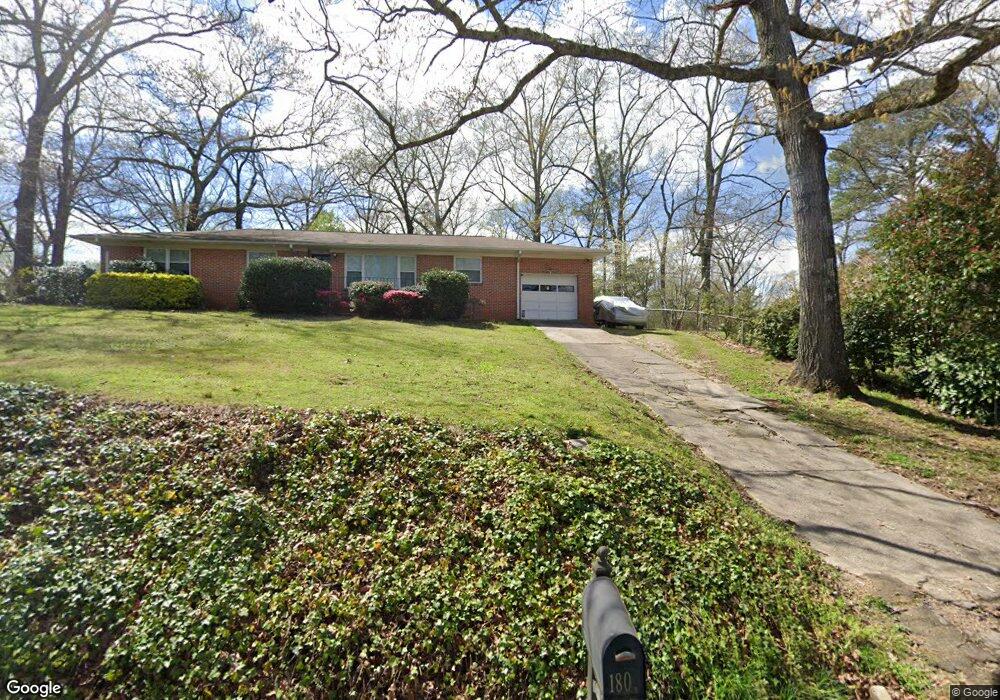
1808 Poplar Dr Gardendale, AL 35071
Estimated Value: $212,000 - $241,000
3
Beds
2
Baths
1,532
Sq Ft
$145/Sq Ft
Est. Value
About This Home
This home is located at 1808 Poplar Dr, Gardendale, AL 35071 and is currently estimated at $222,287, approximately $145 per square foot. 1808 Poplar Dr is a home located in Jefferson County with nearby schools including Snow Rogers Elementary School, Bragg Middle School, and Gardendale High School.
Ownership History
Date
Name
Owned For
Owner Type
Purchase Details
Closed on
Jul 12, 2018
Sold by
Farley Terry L
Bought by
Farley Morgan L
Current Estimated Value
Purchase Details
Closed on
Aug 30, 2010
Sold by
Looney James Scott
Bought by
Farley Terry L
Home Financials for this Owner
Home Financials are based on the most recent Mortgage that was taken out on this home.
Original Mortgage
$93,200
Interest Rate
4.6%
Mortgage Type
New Conventional
Purchase Details
Closed on
Nov 19, 2003
Sold by
Looney Looney E and Looney Carolyn G
Bought by
Looney James Scott
Home Financials for this Owner
Home Financials are based on the most recent Mortgage that was taken out on this home.
Original Mortgage
$85,000
Interest Rate
6.07%
Mortgage Type
Purchase Money Mortgage
Create a Home Valuation Report for This Property
The Home Valuation Report is an in-depth analysis detailing your home's value as well as a comparison with similar homes in the area
Home Values in the Area
Average Home Value in this Area
Purchase History
| Date | Buyer | Sale Price | Title Company |
|---|---|---|---|
| Farley Morgan L | $79,890 | -- | |
| Farley Terry L | $116,500 | None Available | |
| Looney James Scott | $106,300 | -- |
Source: Public Records
Mortgage History
| Date | Status | Borrower | Loan Amount |
|---|---|---|---|
| Previous Owner | Farley Terry L | $93,200 | |
| Previous Owner | Looney James Scott | $85,000 |
Source: Public Records
Tax History Compared to Growth
Tax History
| Year | Tax Paid | Tax Assessment Tax Assessment Total Assessment is a certain percentage of the fair market value that is determined by local assessors to be the total taxable value of land and additions on the property. | Land | Improvement |
|---|---|---|---|---|
| 2024 | $1,151 | $20,040 | -- | -- |
| 2022 | $939 | $16,490 | $4,100 | $12,390 |
| 2021 | $792 | $14,060 | $4,100 | $9,960 |
| 2020 | $714 | $12,760 | $4,100 | $8,660 |
| 2019 | $714 | $12,760 | $0 | $0 |
| 2018 | $607 | $11,820 | $0 | $0 |
| 2017 | $680 | $12,200 | $0 | $0 |
| 2016 | $643 | $11,580 | $0 | $0 |
| 2015 | $657 | $11,820 | $0 | $0 |
| 2014 | $510 | $11,140 | $0 | $0 |
| 2013 | $510 | $11,140 | $0 | $0 |
Source: Public Records
Map
Nearby Homes
- 1767 Mount Olive Rd
- 1825 Harrison Dr
- 5634 Hunter Brook Ct
- 1515 Clover Ave
- 313 Belcher Hill Rd Unit 1
- 420 Redmayne Rd
- 216 Howard Dr
- 1220 W Forest Dr
- 1641 Jaye Dr
- 608 Meadow Place
- 520 Parks Rd
- 0 Odum Rd
- 304 Mozelle Cir
- 164 Summit Blvd
- 2263 Mount Olive Rd Unit 3-5
- 904 Gardenview Cir
- 1308 Colonial Ave
- 1704 Magnolia St
- 220 Payne Rd
- 309 Catherine Ct