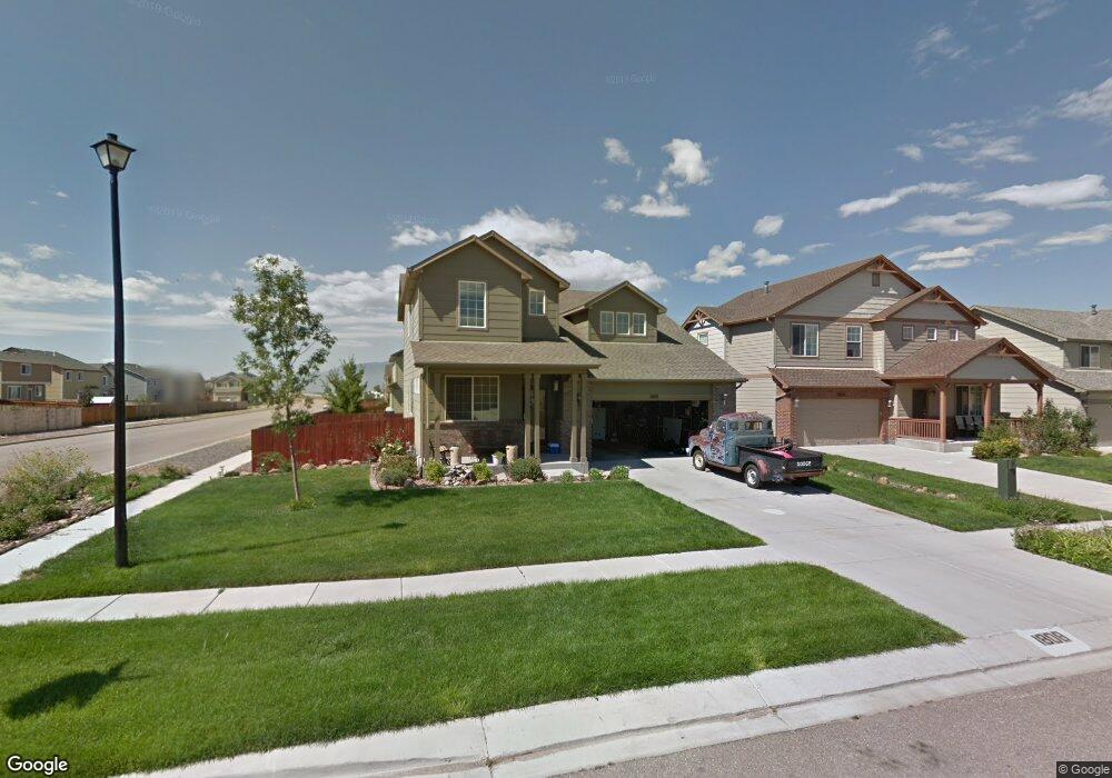
1808 Sheringham Dr Colorado Springs, CO 80951
Estimated Value: $445,000 - $487,000
4
Beds
3
Baths
2,358
Sq Ft
$198/Sq Ft
Est. Value
About This Home
This home is located at 1808 Sheringham Dr, Colorado Springs, CO 80951 and is currently estimated at $467,833, approximately $198 per square foot. 1808 Sheringham Dr is a home located in El Paso County with nearby schools including Evans International Elementary School, Coldwater Canyon Elementary, and Clover Avenue Elementary School.
Ownership History
Date
Name
Owned For
Owner Type
Purchase Details
Closed on
Oct 21, 2021
Sold by
Carter Thomas and Carter Audrey M
Bought by
Grell Paul H and Grell Kendel L
Current Estimated Value
Home Financials for this Owner
Home Financials are based on the most recent Mortgage that was taken out on this home.
Original Mortgage
$382,500
Outstanding Balance
$348,804
Interest Rate
2.8%
Mortgage Type
New Conventional
Estimated Equity
$119,029
Purchase Details
Closed on
Apr 14, 2006
Sold by
Melody Homes Inc
Bought by
Carter Thomas and Carter Audrey M
Home Financials for this Owner
Home Financials are based on the most recent Mortgage that was taken out on this home.
Original Mortgage
$207,200
Interest Rate
5.87%
Mortgage Type
Fannie Mae Freddie Mac
Create a Home Valuation Report for This Property
The Home Valuation Report is an in-depth analysis detailing your home's value as well as a comparison with similar homes in the area
Home Values in the Area
Average Home Value in this Area
Purchase History
| Date | Buyer | Sale Price | Title Company |
|---|---|---|---|
| Grell Paul H | $450,000 | Heritage Title Company | |
| Carter Thomas | $259,000 | Land Title Guarantee Company |
Source: Public Records
Mortgage History
| Date | Status | Borrower | Loan Amount |
|---|---|---|---|
| Open | Grell Paul H | $382,500 | |
| Previous Owner | Carter Thomas | $207,200 |
Source: Public Records
Tax History Compared to Growth
Tax History
| Year | Tax Paid | Tax Assessment Tax Assessment Total Assessment is a certain percentage of the fair market value that is determined by local assessors to be the total taxable value of land and additions on the property. | Land | Improvement |
|---|---|---|---|---|
| 2025 | $1,963 | $35,220 | -- | -- |
| 2024 | $1,860 | $30,010 | $5,290 | $24,720 |
| 2023 | $1,860 | $30,010 | $5,290 | $24,720 |
| 2022 | $2,444 | $25,460 | $4,170 | $21,290 |
| 2021 | $2,536 | $26,190 | $4,290 | $21,900 |
| 2020 | $2,272 | $23,400 | $3,580 | $19,820 |
| 2019 | $2,387 | $23,400 | $3,580 | $19,820 |
| 2018 | $2,027 | $19,650 | $3,560 | $16,090 |
| 2017 | $1,910 | $19,650 | $3,560 | $16,090 |
| 2016 | $1,927 | $20,300 | $3,580 | $16,720 |
| 2015 | $1,928 | $20,300 | $3,580 | $16,720 |
| 2014 | $1,810 | $18,810 | $3,580 | $15,230 |
Source: Public Records
Map
Nearby Homes
- 1925 Dewhirst Dr
- 2034 Lillian Way
- 7820 Parsonage Ln
- 1874 Sandtoft Heights
- 1729 Sandtoft Heights
- 8163 Postrock Dr
- 1768 Reilly Grove
- 1974 Capital Dr
- 1998 Lattern Ct
- 1725 Bucolo Ave
- 1985 Reed Grass Way
- 1898 Woodpark Dr
- 1822 Bulrush Way
- 2215 Reed Grass Way
- 7340 Grama Grass Ct
- 2245 Reed Grass Way
- 2524 Obsidian Forest View
- 2322 Springside Dr
- 2265 Sage Grouse Ln
- 2421 Fruited Plains Ct
- 1822 Sheringham Dr
- 1803 Walton Dr
- 1836 Sheringham Dr
- 1819 Walton Dr
- 1835 Walton Dr
- 1850 Sheringham Dr
- 1807 Sheringham Dr
- 8054 Parsonage Ln
- 8060 Parsonage Ln
- 1821 Sheringham Dr
- 8066 Parsonage Ln
- 8048 Parsonage Ln
- 1851 Walton Dr
- 1835 Sheringham Dr
- 8072 Parsonage Ln
- 1864 Sheringham Dr
- 1849 Sheringham Dr
- 8078 Parsonage Ln
- 1867 Walton Dr
- 1802 Walton Dr