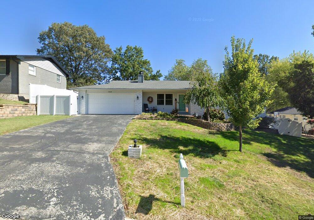
1808 Weissinger Ln E Cape Girardeau, MO 63701
Estimated Value: $210,000 - $242,000
3
Beds
2
Baths
1,248
Sq Ft
$179/Sq Ft
Est. Value
About This Home
This home is located at 1808 Weissinger Ln E, Cape Girardeau, MO 63701 and is currently estimated at $223,843, approximately $179 per square foot. 1808 Weissinger Ln E is a home with nearby schools including Alma Schrader Elementary School, Central Middle School, and Central Junior High School.
Ownership History
Date
Name
Owned For
Owner Type
Purchase Details
Closed on
May 10, 2013
Sold by
Edwards Douglas and Edwards Karen
Bought by
Edwards Matthew and Edwards Alexander
Current Estimated Value
Purchase Details
Closed on
Nov 22, 2011
Sold by
Edwards Douglas H and Edwards Karen K
Bought by
Edwards Douglas H and Edwards Karen K
Home Financials for this Owner
Home Financials are based on the most recent Mortgage that was taken out on this home.
Original Mortgage
$80,000
Interest Rate
4.15%
Mortgage Type
New Conventional
Create a Home Valuation Report for This Property
The Home Valuation Report is an in-depth analysis detailing your home's value as well as a comparison with similar homes in the area
Purchase History
| Date | Buyer | Sale Price | Title Company |
|---|---|---|---|
| Edwards Matthew | -- | -- | |
| Edwards Douglas H | -- | None Available |
Source: Public Records
Mortgage History
| Date | Status | Borrower | Loan Amount |
|---|---|---|---|
| Closed | Edwards Douglas H | $80,000 |
Source: Public Records
Tax History
| Year | Tax Paid | Tax Assessment Tax Assessment Total Assessment is a certain percentage of the fair market value that is determined by local assessors to be the total taxable value of land and additions on the property. | Land | Improvement |
|---|---|---|---|---|
| 2025 | $1,306 | $25,010 | $2,910 | $22,100 |
| 2024 | $12 | $23,820 | $2,770 | $21,050 |
| 2023 | $1,238 | $23,820 | $2,770 | $21,050 |
| 2022 | $1,141 | $21,950 | $2,550 | $19,400 |
| 2021 | $1,141 | $21,950 | $2,550 | $19,400 |
| 2020 | $1,145 | $21,950 | $2,550 | $19,400 |
| 2019 | $1,143 | $21,950 | $0 | $0 |
| 2018 | $1,141 | $21,950 | $0 | $0 |
| 2017 | $1,143 | $21,950 | $0 | $0 |
| 2016 | $1,139 | $21,950 | $0 | $0 |
| 2015 | $1,140 | $21,950 | $0 | $0 |
| 2014 | $1,145 | $21,950 | $0 | $0 |
Source: Public Records
Map
Nearby Homes
- 1829 Weissinger Ln W
- 1952 Perryville Rd
- 1960 Briarwood Dr
- 1572 Lexington Ave
- 1925 Randol Dr
- 1646 Westwood Dr
- 2009 Steven Dr
- 1813 Meyer Dr
- 2062 Concord Place
- 2020 Cambridge St
- 2033 Anthony Dr
- 2449 Janet Dr
- 2137 Chesapeake Ave
- 1310 Lexington Ave Unit 23
- 1465 David St
- 1222 W Cape Rock Dr
- 2533 Tulip Ln
- 1813 Belleridge Pike
- 1843 Lawanda Dr
- 1533 Birchwood
- 2213 Sherwood Dr
- 1814 Weissinger Ln E
- 2205 Hillbrook Dr
- 2219 Sherwood Dr
- 1905 Perryville Rd
- 1904 Weissinger Ln E
- 2205 Sherwood Dr
- 2211 Hillbrook Dr
- 1909 Perryville Rd
- 2212 Sherwood Dr
- 2214 Sherwood Dr
- 2210 Sherwood Dr
- 2218 Sherwood Dr
- 1913 Perryville Rd
- 1908 Weissinger Ln E
- 1903 E Weissinger Ln
- 2217 Hillbrook Dr
- 2202 Sherwood Dr
- 2224 Sherwood Dr
- 2210 Hillbrook Dr
Your Personal Tour Guide
Ask me questions while you tour the home.