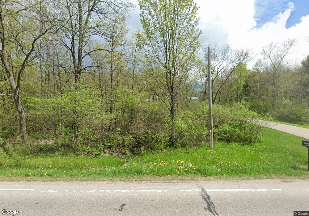
18085 Mumford Rd Burton, OH 44021
Estimated Value: $447,000 - $665,133
6
Beds
1
Bath
3,336
Sq Ft
$154/Sq Ft
Est. Value
About This Home
This home is located at 18085 Mumford Rd, Burton, OH 44021 and is currently estimated at $515,033, approximately $154 per square foot. 18085 Mumford Rd is a home with nearby schools including Berkshire Elementary School, Berkshire High School, and Frams Corner.
Ownership History
Date
Name
Owned For
Owner Type
Purchase Details
Closed on
Nov 16, 2018
Sold by
Brownfield Owen R
Bought by
Schmucker Andrew W
Current Estimated Value
Home Financials for this Owner
Home Financials are based on the most recent Mortgage that was taken out on this home.
Original Mortgage
$113,280
Outstanding Balance
$85,758
Interest Rate
4.7%
Mortgage Type
Future Advance Clause Open End Mortgage
Estimated Equity
$429,275
Purchase Details
Closed on
Jul 16, 2016
Sold by
The Green At Mumford
Bought by
Schmucker William J and Schmucker Katie J
Home Financials for this Owner
Home Financials are based on the most recent Mortgage that was taken out on this home.
Original Mortgage
$175,000
Interest Rate
3.6%
Mortgage Type
New Conventional
Purchase Details
Closed on
Mar 21, 1990
Bought by
Greens At Mumford
Create a Home Valuation Report for This Property
The Home Valuation Report is an in-depth analysis detailing your home's value as well as a comparison with similar homes in the area
Home Values in the Area
Average Home Value in this Area
Purchase History
| Date | Buyer | Sale Price | Title Company |
|---|---|---|---|
| Schmucker Andrew W | $140,000 | None Available | |
| Schmucker William J | $195,000 | Attorney | |
| Greens At Mumford | $175,500 | -- |
Source: Public Records
Mortgage History
| Date | Status | Borrower | Loan Amount |
|---|---|---|---|
| Open | Schmucker Andrew W | $113,280 | |
| Previous Owner | Schmucker William J | $175,000 |
Source: Public Records
Tax History Compared to Growth
Tax History
| Year | Tax Paid | Tax Assessment Tax Assessment Total Assessment is a certain percentage of the fair market value that is determined by local assessors to be the total taxable value of land and additions on the property. | Land | Improvement |
|---|---|---|---|---|
| 2024 | $8,109 | $201,080 | $68,990 | $132,090 |
| 2023 | $8,109 | $201,080 | $68,990 | $132,090 |
| 2022 | $7,657 | $163,280 | $57,820 | $105,460 |
| 2021 | $7,595 | $163,280 | $57,820 | $105,460 |
| 2020 | $5,549 | $125,300 | $57,820 | $67,480 |
| 2019 | $2,285 | $53,830 | $53,830 | $0 |
| 2018 | $2,482 | $53,830 | $53,830 | $0 |
| 2017 | $2,285 | $53,830 | $53,830 | $0 |
| 2016 | $2,276 | $53,830 | $53,830 | $0 |
| 2015 | $2,276 | $53,830 | $53,830 | $0 |
| 2014 | $2,125 | $53,830 | $53,830 | $0 |
| 2013 | $2,416 | $60,870 | $60,870 | $0 |
Source: Public Records
Map
Nearby Homes
- 0 Mumford Rd Unit 5136681
- 0 Mumford Rd Unit 5136651
- 14020 Kimpton Trail
- 16169 Mccall Rd
- 18386 Mills Rd
- Parcel C Nash Rd
- 0 Nash Rd Unit 5142384
- 12954 State Route 88
- 12928 State Route 88
- 18325 Tilden Rd
- 12947 Brosius Rd
- 12707 Brosius Rd
- 16659 Main Market Rd
- 19109 Tilden Rd
- 7991 Norton Rd
- 16663 Main Market Rd
- 12525 Brosius Rd
- 16970 Hosmer Rd
- 16790 Main Market Rd
- 12157 State Route 88
- 14987 Main Market Rd
- 18045 Mumford Rd
- 14971 Main Market Rd
- 18137 Mumford Rd
- vl Mumford Rd
- 0 Mumford Rd Unit 3791695
- 0 Mumford Rd Unit 3791687
- 18146 Mumford Rd
- 15110 Main Market Rd
- 15005 Main Market Rd
- 18179 Mumford Rd
- 18019 Mumford Rd
- 18197 Mumford Rd
- 18048 Mumford Rd
- 18207 Mumford Rd
- 18219 Mumford Rd
- 18040 Mumford Rd
- 15091 Main Market Rd
- 17971 Mumford Rd
- 18239 Mumford Rd
