Estimated Value: $418,735 - $579,000
1
Bed
1
Bath
652
Sq Ft
$784/Sq Ft
Est. Value
About This Home
This home is located at 18089 2nd Ave, Bend, OR 97701 and is currently estimated at $511,434, approximately $784 per square foot. 18089 2nd Ave is a home located in Deschutes County with nearby schools including Sisters Elementary School, Sisters Middle School, and Sisters High School.
Ownership History
Date
Name
Owned For
Owner Type
Purchase Details
Closed on
Mar 16, 2018
Sold by
Melton Letha M
Bought by
Melton Willie R and Melton Letha M
Current Estimated Value
Purchase Details
Closed on
Mar 14, 2018
Sold by
Melton Letha M
Bought by
Melton Willie R and Melton Letha M
Purchase Details
Closed on
Oct 29, 2012
Sold by
Melton Letha M and Melton Willie R
Bought by
Melton Letha M
Create a Home Valuation Report for This Property
The Home Valuation Report is an in-depth analysis detailing your home's value as well as a comparison with similar homes in the area
Purchase History
| Date | Buyer | Sale Price | Title Company |
|---|---|---|---|
| Melton Willie R | -- | None Listed On Document | |
| Melton Willie R | -- | None Available | |
| Melton Letha M | -- | None Available |
Source: Public Records
Tax History
| Year | Tax Paid | Tax Assessment Tax Assessment Total Assessment is a certain percentage of the fair market value that is determined by local assessors to be the total taxable value of land and additions on the property. | Land | Improvement |
|---|---|---|---|---|
| 2025 | $2,402 | $132,800 | -- | -- |
| 2024 | $2,325 | $128,940 | -- | -- |
| 2023 | $2,258 | $125,190 | $0 | $0 |
| 2022 | $2,055 | $118,010 | $0 | $0 |
| 2021 | $1,979 | $114,580 | $0 | $0 |
| 2020 | $1,885 | $114,580 | $0 | $0 |
| 2019 | $1,838 | $111,250 | $0 | $0 |
| 2018 | $1,789 | $108,010 | $0 | $0 |
| 2017 | $1,728 | $104,870 | $0 | $0 |
| 2016 | $1,696 | $101,820 | $0 | $0 |
| 2015 | $1,600 | $98,860 | $0 | $0 |
| 2014 | $1,509 | $95,990 | $0 | $0 |
Source: Public Records
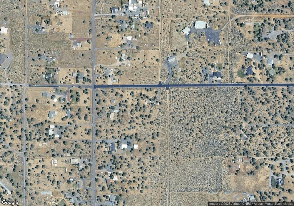
Map
Nearby Homes
- 18025 2nd Ave
- 67134 Central St
- 67100 Fryrear Rd
- 17940 4th Ave
- 18025 Cascade Estates Dr
- 17949 Cascade Estates Dr
- 18070 Cascade Estates Dr
- 67070 Paradise Aly
- 67480 Cloverdale Rd
- 67276 Gist Rd
- 67439 U S 20
- 66511 Ponderosa Loop
- 17415 Kent Rd
- 17358 Ivy Ln
- 17500 Forked Horn Dr
- 67554 Trout Ln
- 64225 Sisemore Rd
- 65930 Mariposa Ln
- 65855 Mariposa Ln
- 65900 Mariposa Ln
Your Personal Tour Guide
Ask me questions while you tour the home.