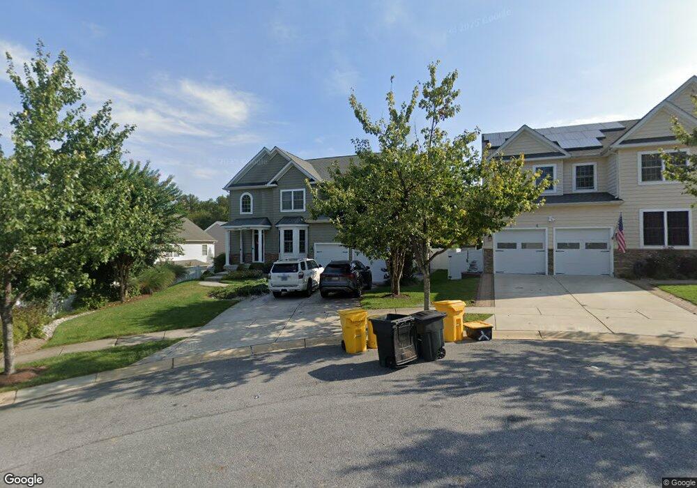
1809 Chaneys Grant Ct Crofton, MD 21114
Estimated Value: $819,000 - $877,000
4
Beds
3
Baths
2,584
Sq Ft
$323/Sq Ft
Est. Value
About This Home
This home is located at 1809 Chaneys Grant Ct, Crofton, MD 21114 and is currently estimated at $834,536, approximately $322 per square foot. 1809 Chaneys Grant Ct is a home located in Anne Arundel County with nearby schools including Crofton Woods Elementary School, Crofton Middle School, and Crofton High School.
Ownership History
Date
Name
Owned For
Owner Type
Purchase Details
Closed on
Oct 16, 2017
Sold by
Hosea William D
Bought by
Hosea William D and Hosea Claudia V
Current Estimated Value
Home Financials for this Owner
Home Financials are based on the most recent Mortgage that was taken out on this home.
Original Mortgage
$112,000
Interest Rate
3.83%
Mortgage Type
New Conventional
Purchase Details
Closed on
Dec 23, 2009
Sold by
John'S Ridge Llc
Bought by
Hosea Stephen C
Create a Home Valuation Report for This Property
The Home Valuation Report is an in-depth analysis detailing your home's value as well as a comparison with similar homes in the area
Home Values in the Area
Average Home Value in this Area
Purchase History
| Date | Buyer | Sale Price | Title Company |
|---|---|---|---|
| Hosea William D | -- | Maryland Title Co Inc | |
| Hosea William D | -- | Mid Maryland Title Co Inc | |
| Hosea Stephen C | $600,000 | -- |
Source: Public Records
Mortgage History
| Date | Status | Borrower | Loan Amount |
|---|---|---|---|
| Closed | Hosea William D | $112,000 |
Source: Public Records
Tax History
| Year | Tax Paid | Tax Assessment Tax Assessment Total Assessment is a certain percentage of the fair market value that is determined by local assessors to be the total taxable value of land and additions on the property. | Land | Improvement |
|---|---|---|---|---|
| 2025 | $6,992 | $674,567 | -- | -- |
| 2024 | $6,992 | $625,933 | $0 | $0 |
| 2023 | $6,778 | $577,300 | $271,700 | $305,600 |
| 2022 | $6,423 | $573,500 | $0 | $0 |
| 2020 | $6,307 | $565,900 | $271,700 | $294,200 |
| 2019 | $6,308 | $565,533 | $0 | $0 |
| 2018 | $5,731 | $565,167 | $0 | $0 |
| 2017 | $6,138 | $564,800 | $0 | $0 |
| 2016 | -- | $548,000 | $0 | $0 |
| 2015 | -- | $531,200 | $0 | $0 |
| 2014 | -- | $514,400 | $0 | $0 |
Source: Public Records
Map
Nearby Homes
- 1860 Yeoman Ct
- 1426 Knights Bridge Turn
- 1306 Persimmontree Ct
- 1697 Barrister Ct
- 1457 Tana Ln
- 1762 Lang Dr
- 1805 Roxboro Place
- 1782 Shaftsbury Ave
- 1822 Foxdale Ct
- 1753 Castleford Square
- 2004 Cambridge Dr
- 1725 Tarrytown Ave
- 1717 Aberdeen Ct
- 1698 Tarleton Way
- 1928 Tilghman Dr
- 1648 New Windsor Ct
- 1704 Tarleton Way
- 1681 Yorktown Ct
- 1708 Tarleton Way
- 1635 Howard Chapel Ct
- 1811 Chaneys Grant Ct
- 1803 Chaneys Grant Ct
- 1805 Chaneys Grant Ct
- 1813 Chaneys Grant Ct
- 1807 Chaneys Grant Ct
- 1815 Chaneys Grant Ct
- 1817 Chaneys Grant Ct
- 1804 Chaneys Grant Ct
- 1812 Chaneys Grant Ct
- 1814 Chaneys Grant Ct
- 1806 Chaneys Grant Ct
- 1810 Chaneys Grant Ct
- 1802 Chaneys Grant Ct
- 1808 Chaneys Grant Ct
- 1808 Chaney's Grant Ct
- 1928 Old Post Rd
- 1930 Old Post Rd
- 1932 Old Post Rd
- 1861 Kings Place
- 1863 Kings Place
Your Personal Tour Guide
Ask me questions while you tour the home.