1809 Kane Rd Stockbridge, MI 49285
Estimated Value: $380,617 - $526,000
5
Beds
3
Baths
2,208
Sq Ft
$192/Sq Ft
Est. Value
About This Home
This home is located at 1809 Kane Rd, Stockbridge, MI 49285 and is currently estimated at $423,904, approximately $191 per square foot. 1809 Kane Rd is a home located in Livingston County with nearby schools including Emma Smith Elementary School, Heritage School, and Stockbridge High School.
Ownership History
Date
Name
Owned For
Owner Type
Purchase Details
Closed on
Mar 25, 2024
Sold by
Chritz Anita F and Chritz Alfred P
Bought by
Cullen Daniel
Current Estimated Value
Purchase Details
Closed on
Mar 15, 2024
Sold by
Chritz Anita F and Chritz Alfred P
Bought by
Cullen Daniel
Purchase Details
Closed on
Jul 9, 2021
Sold by
Chritz Alfred P and Chritz Anita F
Bought by
Chritz Alfred P and Chritz Anita F
Purchase Details
Closed on
Jul 19, 2018
Sold by
Federal Home Loan Mortgage Corporation F
Bought by
Banker Benjamin
Home Financials for this Owner
Home Financials are based on the most recent Mortgage that was taken out on this home.
Original Mortgage
$133,941
Interest Rate
4.5%
Mortgage Type
FHA
Create a Home Valuation Report for This Property
The Home Valuation Report is an in-depth analysis detailing your home's value as well as a comparison with similar homes in the area
Home Values in the Area
Average Home Value in this Area
Purchase History
| Date | Buyer | Sale Price | Title Company |
|---|---|---|---|
| Cullen Daniel | $370,000 | Liberty Title | |
| Cullen Daniel | $370,000 | Liberty Title | |
| Chritz Alfred P | -- | None Available | |
| Banker Benjamin | $135,000 | None Listed On Document |
Source: Public Records
Mortgage History
| Date | Status | Borrower | Loan Amount |
|---|---|---|---|
| Previous Owner | Banker Benjamin | $133,941 |
Source: Public Records
Tax History
| Year | Tax Paid | Tax Assessment Tax Assessment Total Assessment is a certain percentage of the fair market value that is determined by local assessors to be the total taxable value of land and additions on the property. | Land | Improvement |
|---|---|---|---|---|
| 2025 | $1,521 | $165,600 | $0 | $0 |
| 2024 | $995 | $162,600 | $0 | $0 |
| 2023 | $949 | $143,400 | $0 | $0 |
| 2022 | $2,722 | $122,700 | $0 | $0 |
| 2021 | $2,630 | $121,500 | $0 | $0 |
| 2020 | $2,621 | $122,900 | $0 | $0 |
| 2019 | $2,527 | $122,700 | $0 | $0 |
| 2018 | $2,480 | $119,400 | $0 | $0 |
| 2017 | $2,432 | $119,400 | $0 | $0 |
| 2016 | $2,442 | $118,300 | $0 | $0 |
| 2014 | $780 | $85,890 | $0 | $0 |
| 2012 | $780 | $82,827 | $0 | $0 |
Source: Public Records
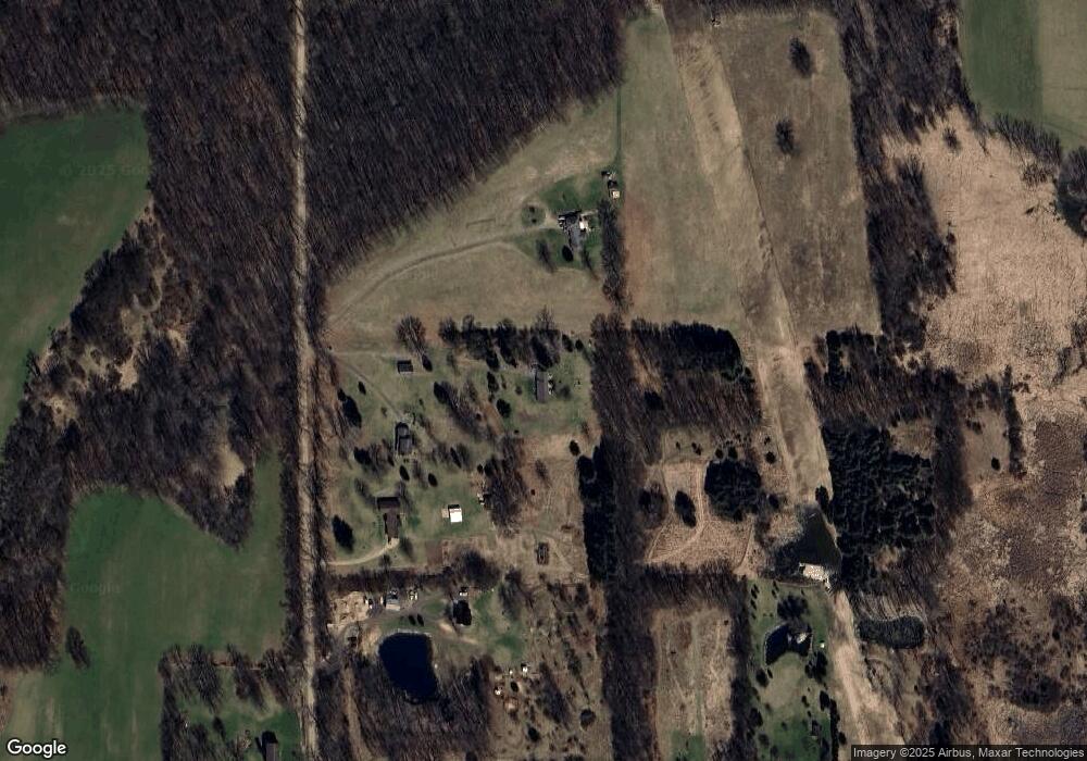
Map
Nearby Homes
- V/L Kleinschmidt Rd
- 5367 E M 36
- 9855 Iosco Ridge Dr
- 9758 Iosco Ridge Dr
- 9810 Iosco Ridge Dr
- 5663 Iosco Mountain Rd
- 2855 Oakley Rd
- 0 Adelines (Lot 19) Way Unit 217036320
- 0 Adelines (Lot 20) Way Unit 217036090
- 4025 Oakley Rd
- 0 Ashlyn Ct
- 2980 Budd Rd
- 1070 Ashlyn Ct
- 2977 Oakley Rd
- 37 Risch Rd
- Lot 11 Minix Dr
- 10 Wasson Rd
- 10790 Cedar River Estates Dr
- 16551 Mi State Road 36
- VL Spears Rd
- 1809 Kane Rd
- 1781 Kane Rd
- 1781 Kane Rd
- 1871 Kane Rd
- 1937 Kane Rd
- 1755 Kane Rd
- 1996 Kane Rd
- 11900 Roberts Rd
- 11600 Roberts Rd
- 11570 Roberts Rd
- 11661 Roberts Rd
- 2049 Kane Rd
- 11599 Roberts Rd
- 11599 Roberts Rd
- 11581 Roberts Rd
- 11529 Roberts Rd Unit Bldg-Unit
- 11529 Roberts Rd
- VL Kane Rd
- 11567 Roberts Rd
- 2095 Kane Rd
Your Personal Tour Guide
Ask me questions while you tour the home.