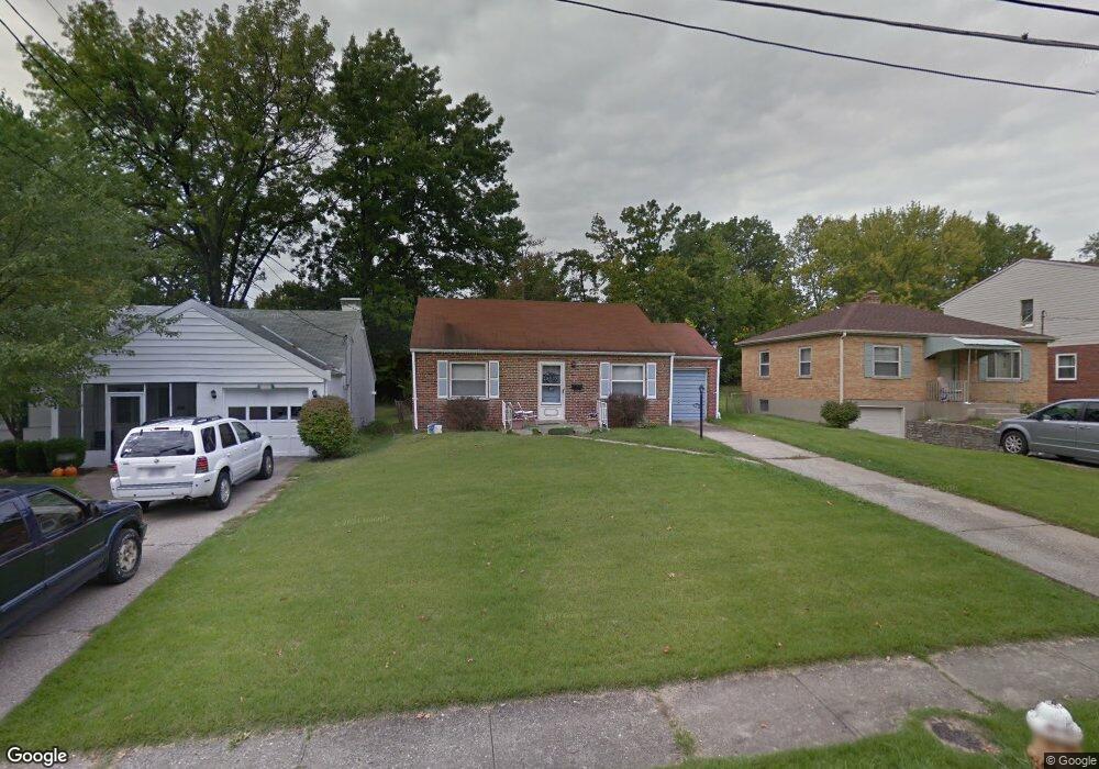
1809 Leona Dr Cincinnati, OH 45238
Estimated Value: $163,000 - $184,780
2
Beds
1
Bath
1,010
Sq Ft
$170/Sq Ft
Est. Value
About This Home
This home is located at 1809 Leona Dr, Cincinnati, OH 45238 and is currently estimated at $171,945, approximately $170 per square foot. 1809 Leona Dr is a home located in Hamilton County with nearby schools including Covedale School, Gilbert A. Dater High School, and Western Hills High School.
Ownership History
Date
Name
Owned For
Owner Type
Purchase Details
Closed on
Jul 13, 2001
Sold by
Pfeiffer Sandra A and Pfeiffer Richard J
Bought by
Gundrum Rhonda R and Carter Terence J
Current Estimated Value
Home Financials for this Owner
Home Financials are based on the most recent Mortgage that was taken out on this home.
Original Mortgage
$78,662
Interest Rate
7.15%
Mortgage Type
FHA
Purchase Details
Closed on
Jan 26, 2001
Sold by
Pfeiffer Sandra A
Bought by
Pfeiffer Richard J and Pfeiffer Sandra A
Create a Home Valuation Report for This Property
The Home Valuation Report is an in-depth analysis detailing your home's value as well as a comparison with similar homes in the area
Home Values in the Area
Average Home Value in this Area
Purchase History
| Date | Buyer | Sale Price | Title Company |
|---|---|---|---|
| Gundrum Rhonda R | $79,900 | -- | |
| Pfeiffer Richard J | -- | -- |
Source: Public Records
Mortgage History
| Date | Status | Borrower | Loan Amount |
|---|---|---|---|
| Closed | Gundrum Rhonda R | $78,662 |
Source: Public Records
Tax History Compared to Growth
Tax History
| Year | Tax Paid | Tax Assessment Tax Assessment Total Assessment is a certain percentage of the fair market value that is determined by local assessors to be the total taxable value of land and additions on the property. | Land | Improvement |
|---|---|---|---|---|
| 2024 | $2,608 | $43,929 | $12,513 | $31,416 |
| 2023 | $2,659 | $43,929 | $12,513 | $31,416 |
| 2022 | $1,896 | $26,054 | $9,996 | $16,058 |
| 2021 | $1,720 | $26,054 | $9,996 | $16,058 |
| 2020 | $1,744 | $26,054 | $9,996 | $16,058 |
| 2019 | $1,731 | $23,261 | $8,925 | $14,336 |
| 2018 | $1,735 | $23,261 | $8,925 | $14,336 |
| 2017 | $1,657 | $23,261 | $8,925 | $14,336 |
| 2016 | $1,808 | $24,952 | $9,184 | $15,768 |
| 2015 | $1,631 | $24,952 | $9,184 | $15,768 |
| 2014 | $1,642 | $24,952 | $9,184 | $15,768 |
| 2013 | $1,608 | $25,204 | $9,275 | $15,929 |
Source: Public Records
Map
Nearby Homes
- 5318 Sidney Rd
- 1650 Colonial Dr
- 1979 Faywood Dr
- 5260 Ralph Ave
- 5420 Fayridge Ct
- 2100 Faywood Dr
- 1398 Colonial Dr
- 5276 Ponce Ln
- 5252 Relluk Dr
- 2113 Sylved Ln
- 2197 Faywood Dr
- 2242 Fayhill Dr
- 5132 Ralph Ave
- 5038 W High St
- 1418 Covedale Ave
- 2231 Townhill Dr
- 4975 Heuwerth Ave
- 3291 Tulsa Ct
- 5434 Lariat Dr
- 5140 Willnet Dr
- 1797 Leona Dr
- 1821 Leona Dr
- 1785 Leona Dr
- 1833 Leona Dr
- 1771 Leona Dr
- 1845 Leona Dr
- 1753 Leona Dr
- 1800 Leona Dr
- 1816 Leona Dr
- 1857 Leona Dr
- 1800 Anderson Ferry Rd
- 1832 Leona Dr
- 1772 Leona Dr
- 1770 Anderson Ferry Rd
- 1848 Leona Dr
- 1735 Leona Dr
- 1820 Anderson Ferry Rd
- 1869 Leona Dr
- 1764 Leona Dr
- 1740 Anderson Ferry Rd