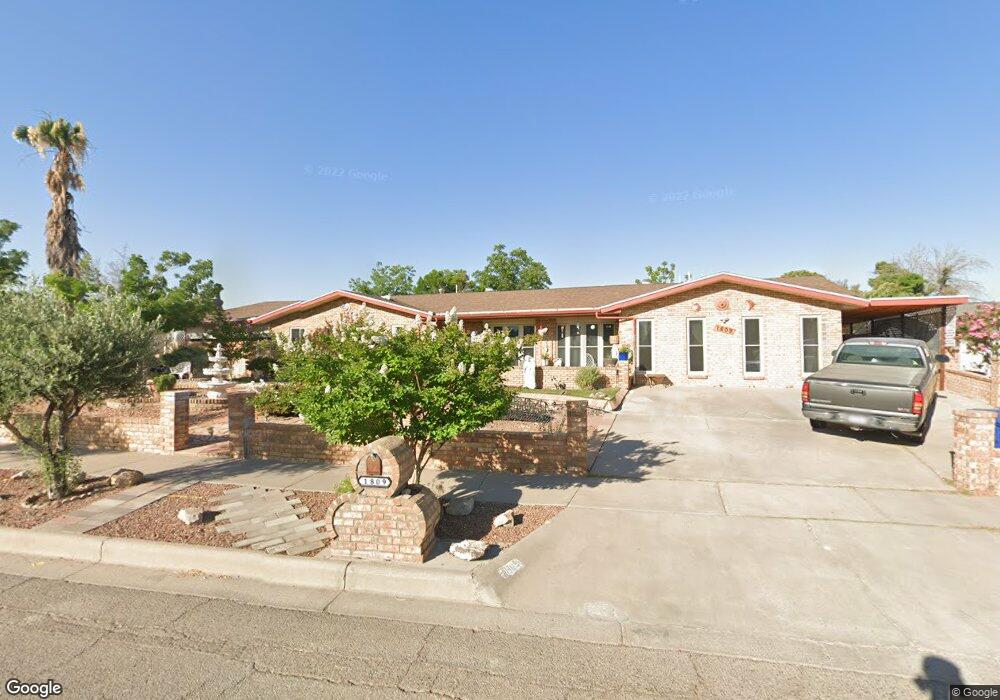
1809 Pete Brown Dr El Paso, TX 79936
Vista Del Sol NeighborhoodEstimated Value: $328,106 - $358,000
5
Beds
3
Baths
2,689
Sq Ft
$128/Sq Ft
Est. Value
About This Home
This home is located at 1809 Pete Brown Dr, El Paso, TX 79936 and is currently estimated at $343,027, approximately $127 per square foot. 1809 Pete Brown Dr is a home located in El Paso County with nearby schools including Tierra Del Sol Elementary School, J M Hanks High School, and EL PASO LEADERSHIP ACADEMY - MIDDLE EAST.
Ownership History
Date
Name
Owned For
Owner Type
Purchase Details
Closed on
May 22, 2015
Sold by
Barajas Ricardo and Barajas Fabiola
Bought by
Barajas Family Trust and Barajas Fabiola
Current Estimated Value
Purchase Details
Closed on
May 14, 1996
Sold by
Christo Harry N
Bought by
Barajas Ricardo and Barajas Fabiola
Create a Home Valuation Report for This Property
The Home Valuation Report is an in-depth analysis detailing your home's value as well as a comparison with similar homes in the area
Home Values in the Area
Average Home Value in this Area
Purchase History
| Date | Buyer | Sale Price | Title Company |
|---|---|---|---|
| Barajas Family Trust | -- | None Available | |
| Barajas Ricardo | -- | -- |
Source: Public Records
Mortgage History
| Date | Status | Borrower | Loan Amount |
|---|---|---|---|
| Closed | Barajas Ricardo | $0 |
Source: Public Records
Tax History Compared to Growth
Tax History
| Year | Tax Paid | Tax Assessment Tax Assessment Total Assessment is a certain percentage of the fair market value that is determined by local assessors to be the total taxable value of land and additions on the property. | Land | Improvement |
|---|---|---|---|---|
| 2025 | $4,058 | $314,223 | $42,532 | $271,691 |
| 2024 | $4,058 | $295,136 | -- | -- |
| 2023 | $3,970 | $268,305 | $0 | $0 |
| 2022 | $7,574 | $243,914 | $0 | $0 |
| 2021 | $7,208 | $221,740 | $28,908 | $192,832 |
| 2020 | $6,802 | $215,355 | $26,240 | $189,115 |
| 2018 | $6,555 | $210,783 | $26,240 | $184,543 |
| 2017 | $6,154 | $202,607 | $26,240 | $176,367 |
| 2016 | $5,594 | $183,010 | $26,240 | $156,770 |
| 2015 | $4,494 | $183,010 | $26,240 | $156,770 |
| 2014 | $4,494 | $183,663 | $26,240 | $157,423 |
Source: Public Records
Map
Nearby Homes
- 1817 Hugh Royer Place
- 1868 Tom Bolt Dr
- 1901 Bobby Jones Dr
- 1913 Seagull Dr
- 2001 Bobby Jones Dr Unit A
- 2009 Bobby Jones Dr Unit B
- 11204 Bob Mitchell Dr
- 1739 Jerry Abbott St
- 1804 Jerry Abbott St
- 11016 Bob Stone Dr
- 11012 Bob Stone Dr
- 11013 Bob Stone Dr
- 1844 Jack Nicklaus Dr Unit 1846
- 1703 Robert Wynn St
- 11157 Leo Collins Dr
- 1617 Tommy Aaron Dr
- 1607 Tommy Aaron Dr
- 1700 Jerry Abbott St
- 2604 Anise Dr
- 11262 Enid Wilson Ln
- 1813 Pete Brown Dr
- 1801 Pete Brown Dr
- 2563 Trawood Dr
- 2559 Trawood Dr
- 1812 Pete Brown Dr
- 1808 Pete Brown Dr
- 1819 Pete Brown Dr
- 1804 Pete Brown Dr
- 1816 Pete Brown Dr
- 2555 Trawood Dr
- 1800 Pete Brown Dr
- 1820 Pete Brown Dr
- 1846 Billy Casper Dr
- 1846 Billy Casper Dr Unit 1
- 1846 Billy Casper Dr
- 1709 Pete Brown Dr
- 2551 Trawood Dr
- 1823 Mike Hill Dr
- 1709 Pete Brown Place
- 1819 Mike Hill Dr