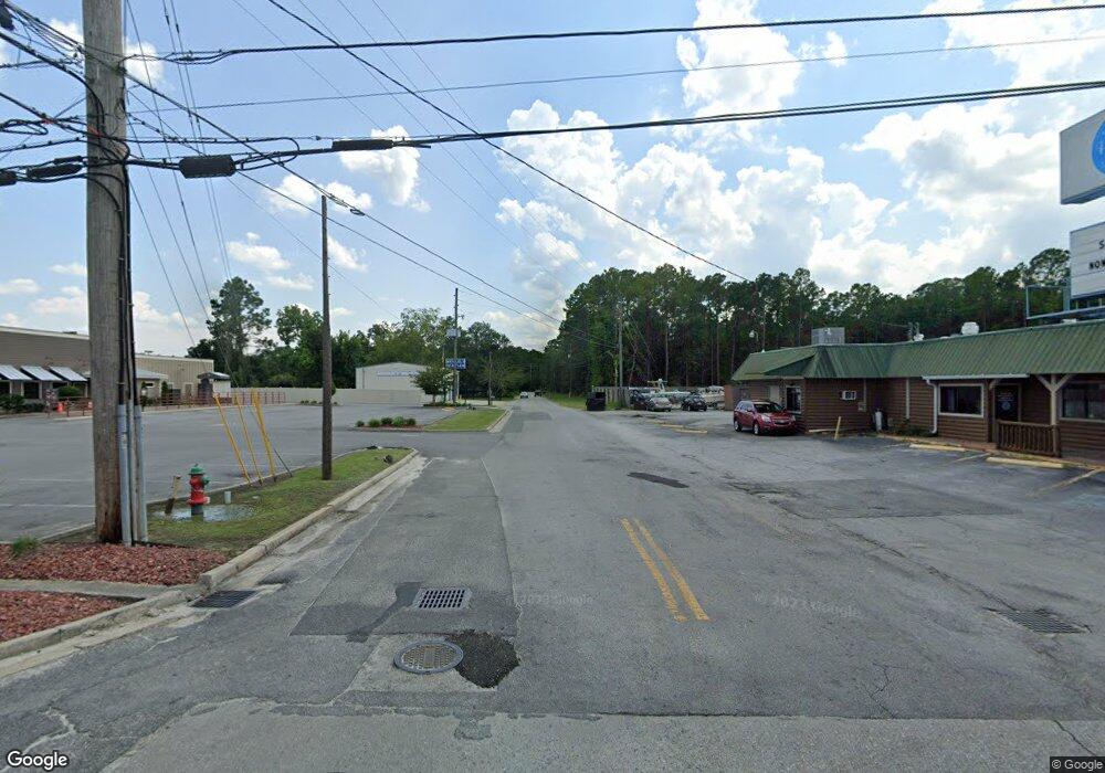
1809 Reynolds St Waycross, GA 31501
--
Bed
--
Bath
2,333
Sq Ft
0.67
Acres
About This Home
This home is located at 1809 Reynolds St, Waycross, GA 31501. 1809 Reynolds St is a home located in Ware County with nearby schools including Memorial Drive Elementary School, Waycross Middle School, and Ware County High School.
Ownership History
Date
Name
Owned For
Owner Type
Purchase Details
Closed on
Jun 25, 2025
Sold by
222 Land Holdings Llc
Bought by
Hss Property Holdings Llc
Home Financials for this Owner
Home Financials are based on the most recent Mortgage that was taken out on this home.
Original Mortgage
$435,704
Outstanding Balance
$423,463
Interest Rate
6.89%
Mortgage Type
New Conventional
Purchase Details
Closed on
Apr 16, 2021
Sold by
Weathersby Leslie
Bought by
Weathersby Jerry Jason
Purchase Details
Closed on
Jul 7, 2016
Bought by
Regional Billboards Llc
Purchase Details
Closed on
Apr 13, 2015
Sold by
Wathersby Jerry J
Bought by
Jerry J Weathersby Llc
Purchase Details
Closed on
Oct 26, 1987
Bought by
D B/W Inc
Create a Home Valuation Report for This Property
The Home Valuation Report is an in-depth analysis detailing your home's value as well as a comparison with similar homes in the area
Home Values in the Area
Average Home Value in this Area
Purchase History
| Date | Buyer | Sale Price | Title Company |
|---|---|---|---|
| Hss Property Holdings Llc | $400,000 | -- | |
| Weathersby Jerry Jason | -- | -- | |
| Regional Billboards Llc | -- | -- | |
| Jerry J Weathersby Llc | -- | -- | |
| D B/W Inc | $135,000 | -- |
Source: Public Records
Mortgage History
| Date | Status | Borrower | Loan Amount |
|---|---|---|---|
| Open | Hss Property Holdings Llc | $435,704 |
Source: Public Records
Tax History Compared to Growth
Tax History
| Year | Tax Paid | Tax Assessment Tax Assessment Total Assessment is a certain percentage of the fair market value that is determined by local assessors to be the total taxable value of land and additions on the property. | Land | Improvement |
|---|---|---|---|---|
| 2024 | $5,696 | $142,742 | $13,329 | $129,413 |
| 2023 | $2,920 | $73,276 | $17,772 | $55,504 |
| 2022 | $2,920 | $73,276 | $17,772 | $55,504 |
| 2021 | $3,099 | $71,676 | $17,772 | $53,904 |
| 2020 | $3,124 | $71,676 | $17,772 | $53,904 |
| 2019 | $3,068 | $69,406 | $17,772 | $51,634 |
| 2018 | $3,105 | $69,580 | $17,772 | $51,808 |
Source: Public Records
Map
Nearby Homes
- 0 Marion St
- 0 Goodwin St
- 7438 Central Ave
- 0 Brunswick Hwy Unit 1648370
- 924 Highsmith St
- 807 City Blvd
- 1100 Atlantic Ave
- 808 Satilla Blvd
- 713 Magnolia Dr
- 903 Atlantic Ave
- 506 Magnolia Dr
- 1204 Richmond Ave
- 1312 Atlantic Ave
- 1205 Dean Dr
- 0 Cabinet St
- 1002 Baltimore Ave
- 502 Dewey St
- 1101 Cherokee Dr
- 511 Richmond Ave
- 615 Morton Ave
- 1027 S City Blvd
- 960 S City Blvd
- 1911 Memorial Dr
- 703 Grey St
- 1913 Memorial Dr
- 1106 Palmetto Dr
- 1503 S City Blvd
- 112 Layton St
- 498 Palmetto Dr
- 119 Layton St
- 111 Layton St
- 116 Dixie Ave
- 1680 Marion St
- 000 Memorial Dr
- 2203 Memorial Dr
- 0 Memorial Dr
- 110 Dixie Ave
- 370 Palmetto Dr
- 517 Palmetto Dr
- 1802 Old Reynolds St