Estimated Value: $237,872 - $305,000
--
Bed
--
Bath
--
Sq Ft
1.11
Acres
About This Home
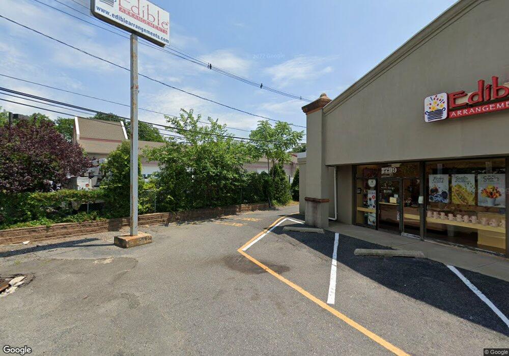
This home is located at 1809 Route 88 Unit F, Brick, NJ 08724 and is currently estimated at $276,291. 1809 Route 88 Unit F is a home located in Ocean County with nearby schools including Midstreams Elementary School, Veterans Memorial Middle School, and Brick Township Memorial High School.
Ownership History
Date
Name
Owned For
Owner Type
Purchase Details
Closed on
Jul 26, 2021
Sold by
Montanaro Jacob
Bought by
Lash Llc
Current Estimated Value
Purchase Details
Closed on
Sep 11, 2017
Sold by
Douvris Anthony
Bought by
Montanaro Jacob
Purchase Details
Closed on
Dec 3, 2010
Sold by
Shore Community Bank
Bought by
Douvris Anthony
Home Financials for this Owner
Home Financials are based on the most recent Mortgage that was taken out on this home.
Original Mortgage
$187,300
Interest Rate
4.23%
Mortgage Type
Commercial
Purchase Details
Closed on
Jun 23, 2008
Sold by
K & S Land Partners Llc and Reynolds Samuel
Bought by
Shore Community Bank
Purchase Details
Closed on
Mar 31, 2006
Sold by
Kristi Shay Construction Inc
Bought by
K & S Land Partners Llc
Home Financials for this Owner
Home Financials are based on the most recent Mortgage that was taken out on this home.
Original Mortgage
$364,800
Interest Rate
6.28%
Mortgage Type
Purchase Money Mortgage
Create a Home Valuation Report for This Property
The Home Valuation Report is an in-depth analysis detailing your home's value as well as a comparison with similar homes in the area
Home Values in the Area
Average Home Value in this Area
Purchase History
| Date | Buyer | Sale Price | Title Company |
|---|---|---|---|
| Lash Llc | $164,900 | Coastal Title Agency Inc | |
| Montanaro Jacob | $143,000 | -- | |
| Douvris Anthony | $155,000 | None Available | |
| Shore Community Bank | -- | None Available | |
| K & S Land Partners Llc | $500,000 | None Available |
Source: Public Records
Mortgage History
| Date | Status | Borrower | Loan Amount |
|---|---|---|---|
| Previous Owner | Douvris Anthony | $187,300 | |
| Previous Owner | K & S Land Partners Llc | $364,800 |
Source: Public Records
Tax History Compared to Growth
Tax History
| Year | Tax Paid | Tax Assessment Tax Assessment Total Assessment is a certain percentage of the fair market value that is determined by local assessors to be the total taxable value of land and additions on the property. | Land | Improvement |
|---|---|---|---|---|
| 2025 | $3,315 | $127,000 | $60,000 | $67,000 |
| 2024 | $3,146 | $127,000 | $60,000 | $67,000 |
| 2023 | $3,100 | $127,000 | $60,000 | $67,000 |
| 2022 | $3,100 | $127,000 | $60,000 | $67,000 |
| 2021 | $3,035 | $127,000 | $60,000 | $67,000 |
| 2020 | $2,996 | $127,000 | $60,000 | $67,000 |
| 2019 | $2,943 | $127,000 | $60,000 | $67,000 |
| 2018 | $2,875 | $127,000 | $60,000 | $67,000 |
| 2017 | $2,798 | $127,000 | $60,000 | $67,000 |
| 2016 | $2,783 | $127,000 | $60,000 | $67,000 |
| 2015 | $2,710 | $127,000 | $60,000 | $67,000 |
| 2014 | $2,687 | $127,000 | $60,000 | $67,000 |
Source: Public Records
Map
Nearby Homes
- 5 B Trail
- 3 C Trail
- 11 B Trail
- 1 Princeton Pines Place
- 123 Bruce St
- 80 Robbins Ct
- 24 Laurelhurst Dr
- 29 Robbins St
- 982 Falkenberg Rd
- 91 Princeton Ave
- 210 Chard Place
- 141 Taylor Blvd
- 16 Wayside Dr
- 53 Albert Cucci Dr
- 27 Greenhill Dr
- 17 Brant Dr
- 59 Joseph Byrne Dr
- 74 Fairview Ave
- 303 Prosper Way Unit 203
- 119 Celebration Blvd Unit 919
- 1809 Route 88 Unit G
- 1809 Route 88 Unit A
- 1809 Route 88 Unit C
- 1809 Route 88 Unit E
- 1809 Route 88 Unit H
- 1809 Route 88 Unit D
- 1809 Route 88 Unit I
- 1809 Route 88 Unit B
- 1799 New Jersey 88
- 1801 Route 88
- 1801 Route 88 Unit 1789
- 1808 Route 88
- 1808 Route 88 Unit 1
- 11 Princeton Ave
- 9 Princeton Ave
- 5 Princeton Ave
- 21 Princeton Ave
- 14 Wallis Ct
- 18 Wallis Ct
- 10 Wallis Ct
