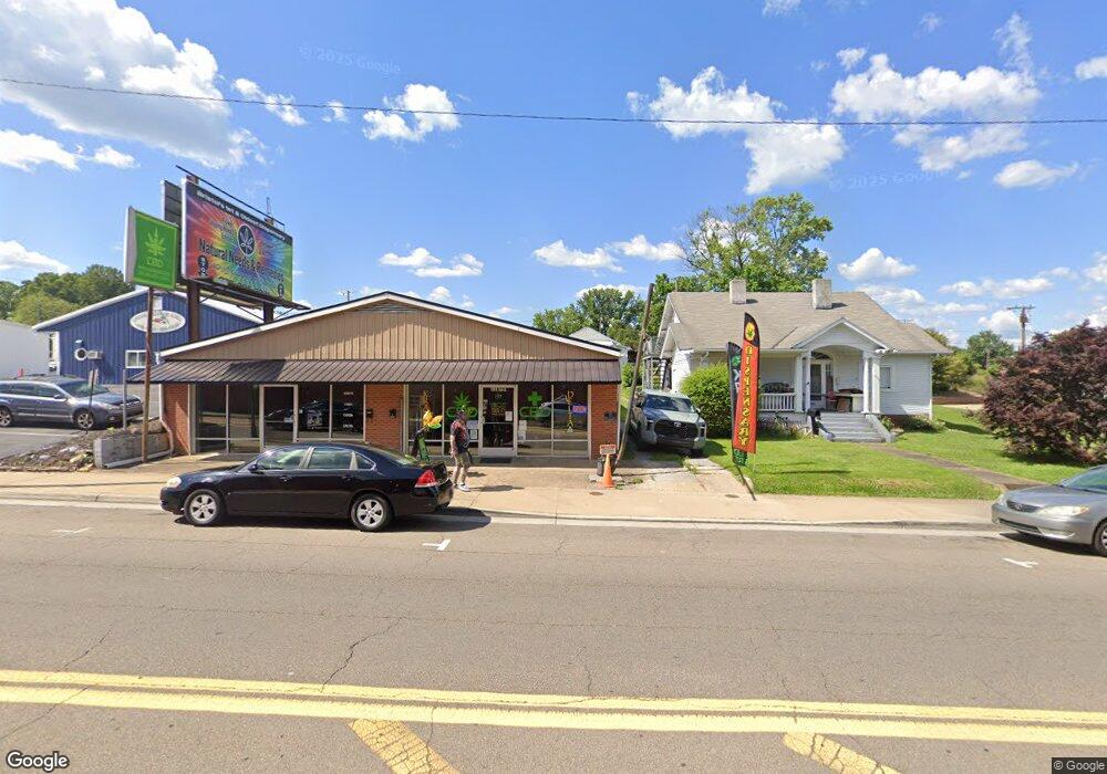
1809 W State St Bristol, VA 24201
Estimated Value: $214,145
Studio
--
Bath
3,600
Sq Ft
$59/Sq Ft
Est. Value
About This Home
This home is located at 1809 W State St, Bristol, VA 24201 and is currently priced at $214,145, approximately $59 per square foot. 1809 W State St is a home located in Bristol City with nearby schools including Virginia High School, Tri-Cities Christian School, and Brookside Academy.
Ownership History
Date
Name
Owned For
Owner Type
Purchase Details
Closed on
Sep 30, 2025
Sold by
Sorah Samuel Scott
Bought by
Shiva Property Of Bristol Llc
Current Estimated Value
Home Financials for this Owner
Home Financials are based on the most recent Mortgage that was taken out on this home.
Original Mortgage
$210,000
Outstanding Balance
$210,000
Interest Rate
6.58%
Mortgage Type
Seller Take Back
Purchase Details
Closed on
Jan 10, 2019
Sold by
Humble Ronald D and Humble Janice D
Bought by
Sorah Samuel Scott
Purchase Details
Closed on
Nov 13, 2012
Sold by
Scott Timothy E
Bought by
Humble Ronald D
Purchase Details
Closed on
Jul 31, 2012
Sold by
Masterson Exr Martha W
Bought by
Scott Timothy E
Create a Home Valuation Report for This Property
The Home Valuation Report is an in-depth analysis detailing your home's value as well as a comparison with similar homes in the area
Purchase History
| Date | Buyer | Sale Price | Title Company |
|---|---|---|---|
| Shiva Property Of Bristol Llc | $375,000 | Old Republic National Title | |
| Sorah Samuel Scott | $125,000 | Attorney | |
| Humble Ronald D | $75,000 | -- | |
| Scott Timothy E | $48,000 | -- |
Source: Public Records
Mortgage History
| Date | Status | Borrower | Loan Amount |
|---|---|---|---|
| Open | Shiva Property Of Bristol Llc | $210,000 |
Source: Public Records
Map
Nearby Homes
- 1821 Broad St
- 115 16th St
- 1505 Norway St
- 1608 Broad St
- 1703 Windsor Ave
- 1412 Anderson St
- 2152 Randolph St
- 2140 Randolph St
- 2111 Lee Hwy
- 454 Douglas St
- 2125 Randolph St
- 1401 Windsor Ave
- 1216 Norway St
- 29 24th St
- 2228 Bay St
- 1301 Windsor Ave
- 1914 Windsor Ave
- Tbd Clifton Rd
- 1121 Mcneil St
- 2412,14,16 Bradley St
Your Personal Tour Guide
Ask me questions while you tour the home.