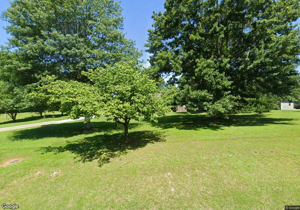
18099 Al Highway 251 Athens, AL 35613
Oakdale NeighborhoodEstimated Value: $200,000 - $308,000
--
Bed
2
Baths
1,603
Sq Ft
$161/Sq Ft
Est. Value
About This Home
This home is located at 18099 Al Highway 251, Athens, AL 35613 and is currently estimated at $258,221, approximately $161 per square foot. 18099 Al Highway 251 is a home located in Limestone County with nearby schools including Johnson Elementary School, Ardmore High School, and Lindsay Lane Christian Academy.
Ownership History
Date
Name
Owned For
Owner Type
Purchase Details
Closed on
Nov 8, 2013
Sold by
Robinson Estate Ronald W
Bought by
Blythe Ii Kenneth R and Blythe Monica C
Current Estimated Value
Home Financials for this Owner
Home Financials are based on the most recent Mortgage that was taken out on this home.
Original Mortgage
$109,600
Outstanding Balance
$81,993
Interest Rate
4.31%
Estimated Equity
$176,228
Purchase Details
Closed on
Jul 24, 2013
Sold by
Pressnell Mavis V
Bought by
Robinson Ronald W
Create a Home Valuation Report for This Property
The Home Valuation Report is an in-depth analysis detailing your home's value as well as a comparison with similar homes in the area
Home Values in the Area
Average Home Value in this Area
Purchase History
| Date | Buyer | Sale Price | Title Company |
|---|---|---|---|
| Blythe Ii Kenneth R | $137,000 | -- | |
| Robinson Ronald W | $133,500 | -- |
Source: Public Records
Mortgage History
| Date | Status | Borrower | Loan Amount |
|---|---|---|---|
| Open | Blythe Ii Kenneth R | $109,600 |
Source: Public Records
Tax History Compared to Growth
Tax History
| Year | Tax Paid | Tax Assessment Tax Assessment Total Assessment is a certain percentage of the fair market value that is determined by local assessors to be the total taxable value of land and additions on the property. | Land | Improvement |
|---|---|---|---|---|
| 2024 | $649 | $22,400 | $0 | $0 |
| 2023 | $649 | $22,040 | $0 | $0 |
| 2022 | $460 | $16,100 | $0 | $0 |
| 2021 | $395 | $13,940 | $0 | $0 |
| 2020 | $380 | $13,440 | $0 | $0 |
| 2019 | $366 | $12,960 | $0 | $0 |
| 2018 | $377 | $13,320 | $0 | $0 |
| 2017 | $347 | $13,320 | $0 | $0 |
| 2016 | $347 | $133,020 | $0 | $0 |
| 2015 | $377 | $13,320 | $0 | $0 |
| 2014 | $308 | $0 | $0 | $0 |
Source: Public Records
Map
Nearby Homes
- 3.1 Acres Mooresville Rd
- 18330 Mooresville Rd
- 18918 Wicklow Cir
- THE HARRINGTON Finchley Dr
- 25763 Finchley Dr
- 25764 Finchley Dr
- 25787 Finchley Dr
- 25776 Finchley Dr
- 25801 Finchley Dr
- 25788 Finchley Dr
- 25809 Finchley Dr
- 25821 Finchley Dr
- 25800 Finchley Dr
- 18906 Wicklow Cir
- 18716 Wicklow Cir
- Tract 2 1.54 AC Mooresville Rd
- Tract 1 1.13 AC Mooresville Rd
- 25833 Finchley Dr
- 25845 Finchley Dr
- The Crawford Finchley Dr
- 18125 Al Highway 251
- 18061 Al Highway 251
- 18159 Al Highway 251
- 18094 Alabama 251
- 18094 Al Highway 251
- 18162 Alabama 251
- 18195 Al Highway 251
- 18036 Alabama 251
- 18200 Al Highway 251
- 25182 Sardis Springs Rd
- Copeland Rd
- 24505 Copeland Rd
- 24477 Copeland Rd
- 24521 Copeland Rd
- 24431 Copeland Rd
- 24403 Copeland Rd
- 24545 Copeland Rd
- 17930 Al Highway 251
- 17930 Alabama 251
- 18280 Al Highway 251
