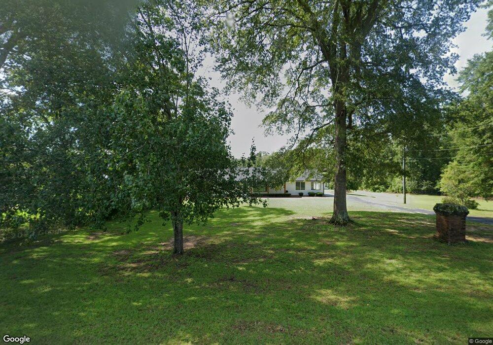
181 Airport Rd NE Milledgeville, GA 31061
Estimated Value: $663,755 - $854,000
3
Beds
2
Baths
2,338
Sq Ft
$322/Sq Ft
Est. Value
About This Home
This home is located at 181 Airport Rd NE, Milledgeville, GA 31061 and is currently estimated at $753,689, approximately $322 per square foot. 181 Airport Rd NE is a home located in Baldwin County with nearby schools including Lakeview Primary, Lakeview Academy, and Oak Hill Middle School.
Ownership History
Date
Name
Owned For
Owner Type
Purchase Details
Closed on
Oct 2, 2020
Sold by
Taylor Dorril Jean
Bought by
Blackstock Joseph Brian and Blackstock Deborah L
Current Estimated Value
Home Financials for this Owner
Home Financials are based on the most recent Mortgage that was taken out on this home.
Original Mortgage
$528,960
Outstanding Balance
$470,482
Interest Rate
2.9%
Mortgage Type
New Conventional
Estimated Equity
$283,207
Purchase Details
Closed on
Sep 20, 2017
Sold by
Taylor Dorril Jean
Bought by
Taylor Dorril Liv Tr
Purchase Details
Closed on
Feb 16, 2012
Sold by
Taylor Benny Charles
Bought by
Taylor Dorril Jean
Create a Home Valuation Report for This Property
The Home Valuation Report is an in-depth analysis detailing your home's value as well as a comparison with similar homes in the area
Home Values in the Area
Average Home Value in this Area
Purchase History
| Date | Buyer | Sale Price | Title Company |
|---|---|---|---|
| Blackstock Joseph Brian | $457,500 | -- | |
| Taylor Dorril Liv Tr | -- | -- | |
| Taylor Dorril Jean | -- | -- |
Source: Public Records
Mortgage History
| Date | Status | Borrower | Loan Amount |
|---|---|---|---|
| Open | Blackstock Joseph Brian | $528,960 |
Source: Public Records
Tax History Compared to Growth
Tax History
| Year | Tax Paid | Tax Assessment Tax Assessment Total Assessment is a certain percentage of the fair market value that is determined by local assessors to be the total taxable value of land and additions on the property. | Land | Improvement |
|---|---|---|---|---|
| 2025 | $5,442 | $223,324 | $97,056 | $126,268 |
| 2024 | $5,442 | $223,324 | $97,056 | $126,268 |
| 2023 | $4,422 | $178,760 | $80,880 | $97,880 |
| 2022 | $4,381 | $178,760 | $80,880 | $97,880 |
| 2021 | $1,509 | $198,132 | $80,880 | $117,252 |
| 2020 | $1,414 | $169,080 | $113,760 | $55,320 |
| 2019 | $1,417 | $169,080 | $113,760 | $55,320 |
| 2018 | $1,425 | $169,080 | $113,760 | $55,320 |
| 2017 | $1,392 | $169,080 | $113,760 | $55,320 |
| 2016 | $1,214 | $133,296 | $70,000 | $63,296 |
| 2015 | $1,214 | $133,296 | $70,000 | $63,296 |
| 2014 | $1,213 | $133,296 | $70,000 | $63,296 |
Source: Public Records
Map
Nearby Homes
- 103 Water Ridge Dr
- 105 Waterford Ct
- 116 Newport Rd NE
- 514 High Bluff Ct NE
- 410 High Bluff Ct NE
- 350 Log Cabin Rd NE
- 183 E Lakeview Dr NE
- 185 E Lakeview Dr NE
- 191A E Lakeview Dr NE Unit B
- 191 E Lakeview Dr
- 113 Island View Dr NE
- 165 Log Cabin Rd NE
- 156 Log Cabin Rd NE
- 2197 NE N Jefferson
- 2197 N Jefferson St NE
- 111 Milledge Commons Dr
- 117 Milledge Commons Dr
- 109 Milledge Commons Dr
- 105 Milledge Commons Dr
- 113 Milledge Commons Dr
- 103 Lakeshore Cir
- 107 Lakeshore Cir
- 104 Lakeshore Cir
- 138 Waters Edge Dr
- 138 Waters Edge Dr Unit 7
- 136 Waters Edge Dr NE
- 117 Lakeshore Cir
- 151 Airport Rd NE
- 132 Waters Edge Dr NE
- 134 Waters Edge Dr NE
- 134 Waters Edge Dr NE
- 134 Waters Edge Dr NE
- 140 Waters Edge Dr NE
- 152 Airport Rd NE
- 119 Lakeshore Cir
- 114 Lakeshore Cir
- 126 Waters Edge Dr NE
- 201 Airport Rd NE
- 0 Airport Rd NE Unit 8398652
- 0 Airport Rd NE Unit 8661942