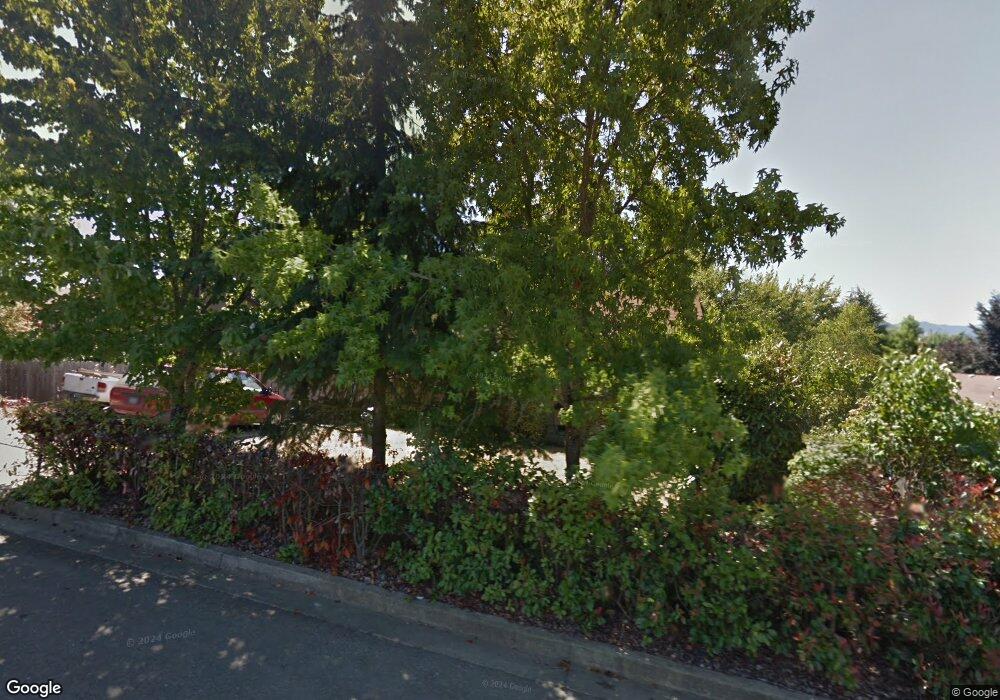
181 Brentridge Dr Roseburg, OR 97471
Green NeighborhoodEstimated Value: $287,000 - $305,000
3
Beds
1
Bath
1,005
Sq Ft
$295/Sq Ft
Est. Value
About This Home
This home is located at 181 Brentridge Dr, Roseburg, OR 97471 and is currently estimated at $296,318, approximately $294 per square foot. 181 Brentridge Dr is a home located in Douglas County with nearby schools including Green Elementary School, John C. Fremont Middle School, and Roseburg High School.
Ownership History
Date
Name
Owned For
Owner Type
Purchase Details
Closed on
May 21, 2008
Sold by
Marez Ralph
Bought by
Ralph Marez Living Trust
Current Estimated Value
Purchase Details
Closed on
Mar 21, 2008
Sold by
Coultas Kye P and Coultas Laura L
Bought by
Coultas Kye P
Home Financials for this Owner
Home Financials are based on the most recent Mortgage that was taken out on this home.
Original Mortgage
$110,000
Interest Rate
5.72%
Mortgage Type
New Conventional
Create a Home Valuation Report for This Property
The Home Valuation Report is an in-depth analysis detailing your home's value as well as a comparison with similar homes in the area
Home Values in the Area
Average Home Value in this Area
Purchase History
| Date | Buyer | Sale Price | Title Company |
|---|---|---|---|
| Ralph Marez Living Trust | -- | None Available | |
| Coultas Kye P | -- | Amerititle Inc |
Source: Public Records
Mortgage History
| Date | Status | Borrower | Loan Amount |
|---|---|---|---|
| Closed | Coultas Kye P | $110,000 |
Source: Public Records
Tax History Compared to Growth
Tax History
| Year | Tax Paid | Tax Assessment Tax Assessment Total Assessment is a certain percentage of the fair market value that is determined by local assessors to be the total taxable value of land and additions on the property. | Land | Improvement |
|---|---|---|---|---|
| 2024 | $1,530 | $163,603 | -- | -- |
| 2023 | $1,486 | $158,838 | $0 | $0 |
| 2022 | $1,443 | $154,212 | $0 | $0 |
| 2021 | $1,401 | $149,721 | $0 | $0 |
| 2020 | $1,414 | $145,361 | $0 | $0 |
| 2019 | $1,389 | $141,128 | $0 | $0 |
| 2018 | $1,356 | $137,018 | $0 | $0 |
| 2017 | $1,316 | $133,028 | $0 | $0 |
| 2016 | $1,292 | $129,154 | $0 | $0 |
| 2015 | $1,271 | $125,393 | $0 | $0 |
| 2014 | $1,229 | $121,741 | $0 | $0 |
| 2013 | -- | $120,344 | $0 | $0 |
Source: Public Records
Map
Nearby Homes
- 120 Sundance Ct
- 115 Lone Oak Ct
- 2454 Landers Ave
- 4913 Melody Ln
- 258 Bobwhite St
- 807 Callahan Dr
- 111 Kiss Ct
- 783 Callahan Dr
- 5135 Grange Rd
- 195 Rowan St
- 717 Callahan Dr
- 633 Highland Vista Ln
- 110 Morning Crest Ct
- 283 Highland Vista Ln
- 308 Helweg Rd
- 104 Angelcrest Ct
- 621 Highland Vista Ln
- 144 Peppertree Ct
- 4885 SW Grange Rd
- 200 Emils Way Unit 21
- 195 Brentridge Dr
- 191 Ryland Dr
- 203 Ryland Dr
- 177 Ryland Dr
- 124 Sunburst Ct
- 138 Sunburst Ct
- 211 Brentridge Dr
- 188 Brentridge Dr
- 174 Brentridge Dr
- 165 Ryland Dr
- 146 Sunburst Ct
- 200 Brentridge Dr
- 162 Brentridge Dr
- 216 Brentridge Dr
- 192 Ryland Dr
- 210 Ryland Dr
- 150 Brentridge Dr
- 176 Ryland Dr
- 149 Sunburst Ct
- 4993 Golding St
