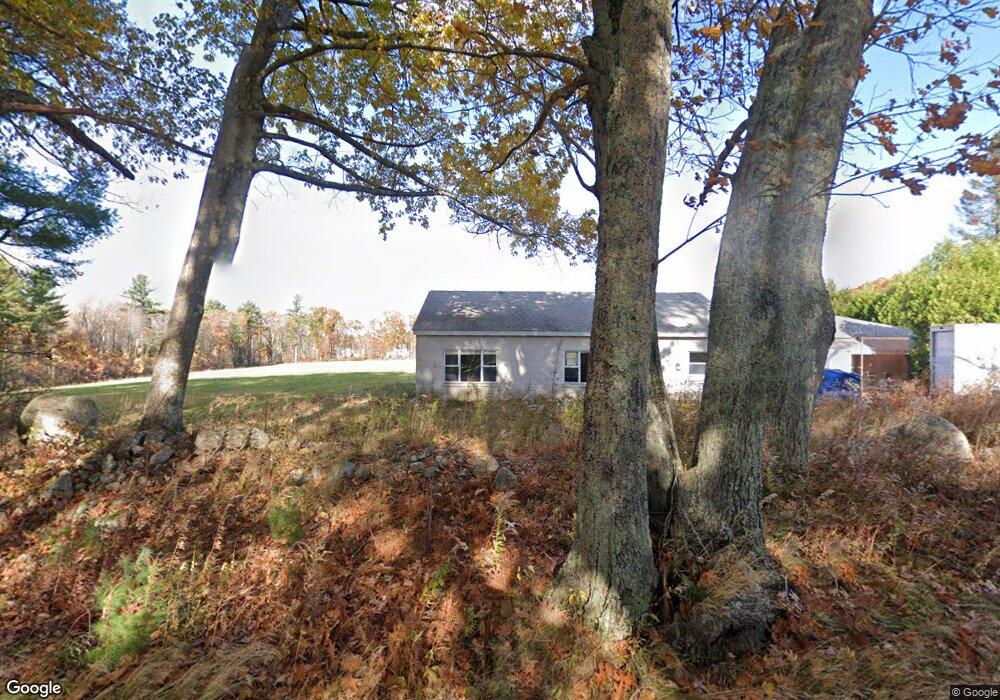
181 Campbell St Rutland, MA 01543
Estimated Value: $585,000 - $881,000
3
Beds
2
Baths
1,644
Sq Ft
$411/Sq Ft
Est. Value
About This Home
This home is located at 181 Campbell St, Rutland, MA 01543 and is currently estimated at $675,796, approximately $411 per square foot. 181 Campbell St is a home with nearby schools including Wachusett Regional High School.
Ownership History
Date
Name
Owned For
Owner Type
Purchase Details
Closed on
Mar 26, 2025
Sold by
Rollins James M and Frasier-Rollins Nancy L
Bought by
Rollins Legacy Wealth T and Rollins
Current Estimated Value
Purchase Details
Closed on
Nov 30, 2021
Sold by
M A Elbag Bldg Contractor
Bought by
Rollins James M and Frasier-Rollins Nancy L
Home Financials for this Owner
Home Financials are based on the most recent Mortgage that was taken out on this home.
Original Mortgage
$162,000
Interest Rate
3.05%
Mortgage Type
Purchase Money Mortgage
Create a Home Valuation Report for This Property
The Home Valuation Report is an in-depth analysis detailing your home's value as well as a comparison with similar homes in the area
Home Values in the Area
Average Home Value in this Area
Purchase History
| Date | Buyer | Sale Price | Title Company |
|---|---|---|---|
| Rollins Legacy Wealth T | -- | None Available | |
| Rollins Legacy Wealth T | -- | None Available | |
| Rollins James M | $584,609 | None Available | |
| Rollins James M | $584,609 | None Available | |
| M A Elbag Bldg Contractor | -- | None Available | |
| M A Elbag Bldg Contractor | -- | None Available |
Source: Public Records
Mortgage History
| Date | Status | Borrower | Loan Amount |
|---|---|---|---|
| Previous Owner | Rollins James M | $162,000 |
Source: Public Records
Tax History Compared to Growth
Tax History
| Year | Tax Paid | Tax Assessment Tax Assessment Total Assessment is a certain percentage of the fair market value that is determined by local assessors to be the total taxable value of land and additions on the property. | Land | Improvement |
|---|---|---|---|---|
| 2025 | $7,499 | $526,600 | $98,000 | $428,600 |
| 2024 | $7,652 | $516,000 | $94,200 | $421,800 |
| 2023 | $6,951 | $506,600 | $88,800 | $417,800 |
| 2022 | $2,015 | $127,600 | $75,000 | $52,600 |
| 2021 | $1,253 | $75,000 | $75,000 | $0 |
Source: Public Records
Map
Nearby Homes
- 175 Glenwood Rd
- 101 Brintnal Dr
- 73 Brintnal Dr
- 35 Brintnal Dr
- 147 E County Rd Unit 149
- 2 Simon Davis Dr
- 25 Watson Ln
- 16 Richards Ave
- 271 Glenwood Rd
- 40 Brunelle Dr
- 55 Pommogussett Rd
- 81 Glenwood Place
- 5 Miles Rd
- 32 Pommogussett Rd Unit 1
- 11 Lewis St
- 21 Lewis St
- 27 Lewis St
- 28 Forest Hill Dr
- 12 Lewis St
- 10 Soucy Dr
- 183 Campbell St
- 179 Campbell St
- 167B Glenwood Rd
- 177 Campbell St
- 120 Brintnal Dr
- 119 Brintnal Dr
- 163 Glenwood Rd
- 196 Campbell St
- 165 Glenwood Rd
- 118 Brintnal Dr
- 169 Glenwood Rd
- 198 Campbell St
- 116 Brintnal Dr
- 156 Glenwood Rd
- 171 Glenwood Rd
- 114 Brintnal Dr
- 147 Glenwood Rd
- 160 Glenwood Rd
- 176 Campbell St
- 167A Glenwood Rd