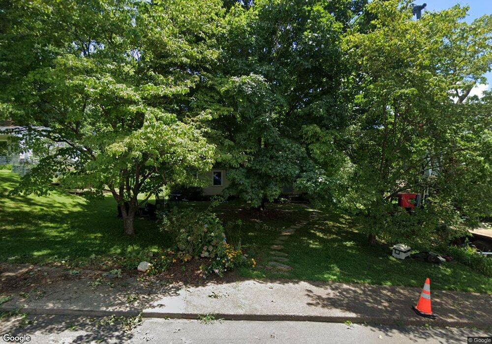
181 Carrier St Asheville, NC 28806
West Asheville NeighborhoodEstimated Value: $437,000 - $500,000
2
Beds
3
Baths
1,192
Sq Ft
$395/Sq Ft
Est. Value
About This Home
This home is located at 181 Carrier St, Asheville, NC 28806 and is currently estimated at $470,553, approximately $394 per square foot. 181 Carrier St is a home located in Buncombe County with nearby schools including Hall Fletcher Elementary, Isaac Dickson Elementary, and Ira B Jones Elementary.
Ownership History
Date
Name
Owned For
Owner Type
Purchase Details
Closed on
Nov 9, 2009
Sold by
Cattanach Holly D and Cattanach Bart L
Bought by
Cattanach Bart L and Cattanach Holly D
Current Estimated Value
Home Financials for this Owner
Home Financials are based on the most recent Mortgage that was taken out on this home.
Original Mortgage
$147,028
Outstanding Balance
$95,659
Interest Rate
4.93%
Mortgage Type
FHA
Estimated Equity
$374,894
Purchase Details
Closed on
May 6, 2005
Sold by
Armistead Mary Charles
Bought by
Harris Holly Draughon
Home Financials for this Owner
Home Financials are based on the most recent Mortgage that was taken out on this home.
Original Mortgage
$138,329
Interest Rate
5.99%
Mortgage Type
FHA
Create a Home Valuation Report for This Property
The Home Valuation Report is an in-depth analysis detailing your home's value as well as a comparison with similar homes in the area
Home Values in the Area
Average Home Value in this Area
Purchase History
| Date | Buyer | Sale Price | Title Company |
|---|---|---|---|
| Cattanach Bart L | -- | Chicago Title | |
| Harris Holly Draughon | $140,500 | -- |
Source: Public Records
Mortgage History
| Date | Status | Borrower | Loan Amount |
|---|---|---|---|
| Open | Cattanach Bart L | $147,028 | |
| Closed | Harris Holly Draughon | $138,329 |
Source: Public Records
Tax History Compared to Growth
Tax History
| Year | Tax Paid | Tax Assessment Tax Assessment Total Assessment is a certain percentage of the fair market value that is determined by local assessors to be the total taxable value of land and additions on the property. | Land | Improvement |
|---|---|---|---|---|
| 2025 | $3,306 | $320,000 | $89,600 | $230,400 |
| 2024 | $3,306 | $320,000 | $89,600 | $230,400 |
| 2023 | $3,306 | $320,000 | $89,600 | $230,400 |
| 2022 | $3,191 | $320,000 | $0 | $0 |
| 2021 | $3,191 | $320,000 | $0 | $0 |
| 2020 | $2,860 | $265,300 | $0 | $0 |
| 2019 | $2,860 | $265,300 | $0 | $0 |
| 2018 | $2,219 | $205,900 | $0 | $0 |
| 2017 | $2,240 | $147,400 | $0 | $0 |
| 2016 | $1,812 | $147,400 | $0 | $0 |
| 2015 | $1,812 | $147,400 | $0 | $0 |
| 2014 | $1,789 | $147,400 | $0 | $0 |
Source: Public Records
Map
Nearby Homes
- 42 Salola St
- 445 Sand Hill Rd Unit 1-6
- 22 Narbeth Rd
- 85 Carrier St
- 28 Woodgate Rd
- 32 Merion Dr
- 78 Middlemont Ave
- 60 Middlemont Ave
- 34 Gaia Ln
- 41 Malvern Walk
- 52 Malvern Walk
- 21 Talmadge Ct
- 42 Talmadge St
- 43 Vermont Ct Unit D14
- 190 School Rd
- Lot 29 & 30 Wendover Rd
- 104 Wendover Rd
- 9999 Rex Dr
- 12 Rex Dr
- 12 & 9999 Rex Dr
- 189 Carrier St
- 177 Carrier St
- 78 Baker Place
- 182 Carrier St
- 74 Baker Place
- 80 Baker Place
- 195 Carrier St
- 169 Carrier St
- 50 Baker Place
- 50 Baker Place Unit 3B
- 190 Carrier St
- 180 Carrier St
- 163 Carrier St
- 197 Carrier St
- 46 Baker Place
- 172 Carrier St
- 172 Carrier St Unit 5
- 71 Baker Place
- 159 Carrier St
- 77 Baker Place