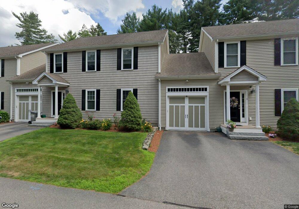
181 Chestnut St Unit 2 Foxboro, MA 02035
Estimated Value: $607,000 - $720,000
3
Beds
4
Baths
2,755
Sq Ft
$239/Sq Ft
Est. Value
About This Home
This home is located at 181 Chestnut St Unit 2, Foxboro, MA 02035 and is currently estimated at $658,565, approximately $239 per square foot. 181 Chestnut St Unit 2 is a home located in Norfolk County with nearby schools including Foxborough High School, Foxborough Regional Charter School, and The Sage School.
Ownership History
Date
Name
Owned For
Owner Type
Purchase Details
Closed on
Dec 19, 2020
Sold by
Laroche Mary P and Laroche Wayne G
Bought by
Wayne G Laroche Ret
Current Estimated Value
Purchase Details
Closed on
Dec 1, 2009
Sold by
Ernest William Place L
Bought by
Hague Bridget S
Home Financials for this Owner
Home Financials are based on the most recent Mortgage that was taken out on this home.
Original Mortgage
$217,000
Interest Rate
4.92%
Mortgage Type
Purchase Money Mortgage
Create a Home Valuation Report for This Property
The Home Valuation Report is an in-depth analysis detailing your home's value as well as a comparison with similar homes in the area
Home Values in the Area
Average Home Value in this Area
Purchase History
| Date | Buyer | Sale Price | Title Company |
|---|---|---|---|
| Wayne G Laroche Ret | -- | None Available | |
| Hague Bridget S | $367,000 | -- | |
| Hague Bridget S | $367,000 | -- |
Source: Public Records
Mortgage History
| Date | Status | Borrower | Loan Amount |
|---|---|---|---|
| Previous Owner | Hague Bridget S | $217,000 |
Source: Public Records
Tax History Compared to Growth
Tax History
| Year | Tax Paid | Tax Assessment Tax Assessment Total Assessment is a certain percentage of the fair market value that is determined by local assessors to be the total taxable value of land and additions on the property. | Land | Improvement |
|---|---|---|---|---|
| 2025 | $7,174 | $542,700 | $0 | $542,700 |
| 2024 | $6,763 | $500,600 | $0 | $500,600 |
| 2023 | $6,088 | $428,400 | $0 | $428,400 |
| 2022 | $5,895 | $406,000 | $0 | $406,000 |
| 2021 | $5,803 | $393,700 | $0 | $393,700 |
| 2020 | $5,242 | $359,800 | $0 | $359,800 |
| 2019 | $5,285 | $359,500 | $0 | $359,500 |
| 2018 | $5,238 | $359,500 | $0 | $359,500 |
| 2017 | $5,407 | $359,500 | $0 | $359,500 |
| 2016 | $5,122 | $345,600 | $0 | $345,600 |
| 2015 | -- | $296,300 | $0 | $296,300 |
| 2014 | $4,442 | $296,300 | $0 | $296,300 |
Source: Public Records
Map
Nearby Homes
- 14 Winter St Unit B
- 18 Winter St Unit E
- 84 Cocasset St Unit A6
- 11 W Belcher Rd Unit 2
- 24 Mechanic St
- 14 Foxhill Rd
- 14 Baker St
- 11 Orchard Place Unit 11
- 1 Eisenhauer Ln
- 186 Mechanic St
- 89 Oak St
- 132 Cannon Forge Dr
- 170 Cannon Forge Dr
- 9 Independence Dr Unit 9
- 35 Independence Dr Unit 35
- 73 Ridge Rd
- 12 Community Way
- 12 Spring St
- 1 Roseland St Unit A-1
- 35 Shoreline Dr
- 181 Chestnut St Unit 3
- 181 Chestnut St Unit 6
- 181 Chestnut St Unit 4
- 181 Chestnut St
- 181 Chestnut St Unit 1
- 181 Chestnut St Unit 5
- 177 Chestnut St
- 182 Chestnut St
- 184 Chestnut St
- 6 Putnam Way
- 178 Chestnut St
- 188 Chestnut St
- 191 Chestnut St
- 190 Chestnut St
- 172 Chestnut St
- 195 Chestnut St
- 132 Cocasset St Unit B
- 132 Cocasset St Unit A
- 170 Chestnut St
- 193 Chestnut St