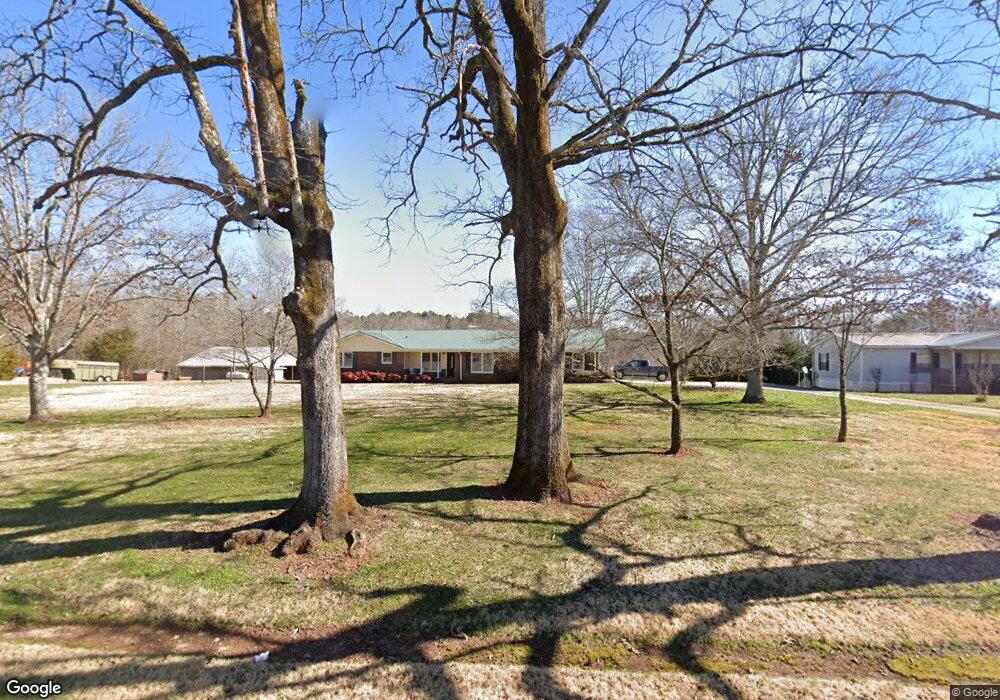
181 Defoor Rd Toccoa, GA 30577
Estimated Value: $267,842 - $382,000
3
Beds
2
Baths
1,937
Sq Ft
$170/Sq Ft
Est. Value
About This Home
This home is located at 181 Defoor Rd, Toccoa, GA 30577 and is currently estimated at $329,614, approximately $170 per square foot. 181 Defoor Rd is a home located in Stephens County with nearby schools including Stephens County High School.
Ownership History
Date
Name
Owned For
Owner Type
Purchase Details
Closed on
Nov 25, 2002
Bought by
Echols Thomas Jeffrey and Echols Patricia F
Current Estimated Value
Purchase Details
Closed on
Nov 12, 1999
Bought by
<Buyer Info Not Present>
Purchase Details
Closed on
Oct 1, 1998
Bought by
<Buyer Info Not Present>
Purchase Details
Closed on
Mar 1, 1996
Bought by
<Buyer Info Not Present>
Purchase Details
Closed on
Dec 1, 1985
Bought by
<Buyer Info Not Present>
Create a Home Valuation Report for This Property
The Home Valuation Report is an in-depth analysis detailing your home's value as well as a comparison with similar homes in the area
Purchase History
| Date | Buyer | Sale Price | Title Company |
|---|---|---|---|
| Echols Thomas Jeffrey | $115,000 | -- | |
| <Buyer Info Not Present> | -- | -- | |
| <Buyer Info Not Present> | -- | -- | |
| <Buyer Info Not Present> | $107,000 | -- | |
| <Buyer Info Not Present> | $78,500 | -- |
Source: Public Records
Tax History
| Year | Tax Paid | Tax Assessment Tax Assessment Total Assessment is a certain percentage of the fair market value that is determined by local assessors to be the total taxable value of land and additions on the property. | Land | Improvement |
|---|---|---|---|---|
| 2025 | $1,316 | $88,853 | $8,602 | $80,251 |
| 2024 | $1,051 | $61,510 | $8,602 | $52,908 |
| 2023 | $1,148 | $57,701 | $8,602 | $49,099 |
| 2022 | $1,578 | $55,016 | $8,602 | $46,414 |
| 2021 | $1,564 | $52,020 | $8,602 | $43,418 |
| 2020 | $1,570 | $51,731 | $8,602 | $43,129 |
| 2019 | $1,575 | $51,682 | $8,192 | $43,490 |
| 2018 | $1,575 | $51,682 | $8,192 | $43,490 |
| 2017 | $1,600 | $51,682 | $8,192 | $43,490 |
| 2016 | $1,575 | $51,682 | $8,192 | $43,490 |
| 2015 | $1,631 | $51,112 | $8,192 | $42,920 |
| 2014 | $1,658 | $51,112 | $8,192 | $42,920 |
| 2013 | -- | $53,160 | $10,240 | $42,920 |
Source: Public Records
Map
Nearby Homes
- 451 Defoor Rd
- 900 Defoor Rd
- 3.35 ACRES Keener Rd
- 545 Shady Ln
- 46 Cedar Ridge Dr
- 5.10 ACRES Hwy 123
- 513 S Red Rock Rd
- 0 Davis Rd Unit 10694033
- Lot 21 Deer Chase
- 535 Deer Chase
- 00 Meadowbrook Dr
- 3877 Georgia 17
- 0 Hickory Log Cir Unit 7723744
- 0 Hickory Log Cir Unit 7723737
- 0 Hickory Log Cir Unit 10696877
- 0 Hickory Log Cir Unit 10696890
- 0 Hickory Log Cir Unit CL349707
- 0 Hickory Log Cir Unit 10696864
- 0 Hickory Log Cir Unit 7723742
- 0 Hickory Log Cir Unit CL349704
- 172 Defoor Rd
- 233 Defoor Rd
- 0 Defoor Rd Unit 37 & 38 8301522
- 0 Defoor Rd Unit 2678179
- 0 Defoor Rd Unit 7122091
- 0 Defoor Rd Unit CM225481
- 142 Defoor Rd
- 93 Defoor Rd
- 110 Defoor Rd
- 208 Defoor Rd Unit 2-8
- 1298 Whispering Pines Dr
- 1264 Whispering Pines Dr
- 57 Defoor Rd
- 275 Defoor Rd
- 160 Sweetgum Rd
- 300 Sweetgum Rd
- 7844 Whispering Pines Dr
- 201 Sweetgum Rd
- 7840 Whispering Pines Dr
- 1315 Whispering Pines Dr
Your Personal Tour Guide
Ask me questions while you tour the home.