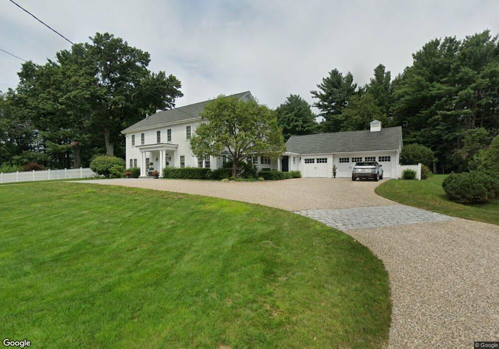
181 Dutton Rd Sudbury, MA 01776
Estimated Value: $2,895,180
5
Beds
4
Baths
3,799
Sq Ft
$762/Sq Ft
Est. Value
About This Home
This home is located at 181 Dutton Rd, Sudbury, MA 01776 and is currently estimated at $2,895,180, approximately $762 per square foot. 181 Dutton Rd is a home located in Middlesex County with nearby schools including Peter Noyes Elementary School, Ephraim Curtis Middle School, and Lincoln-Sudbury Regional High School.
Ownership History
Date
Name
Owned For
Owner Type
Purchase Details
Closed on
Aug 15, 2008
Sold by
Cheren Judith A and Cheren Robert V
Bought by
Christelis Dorothea and Christelis Gary C
Current Estimated Value
Home Financials for this Owner
Home Financials are based on the most recent Mortgage that was taken out on this home.
Original Mortgage
$945,000
Interest Rate
6.4%
Mortgage Type
Commercial
Create a Home Valuation Report for This Property
The Home Valuation Report is an in-depth analysis detailing your home's value as well as a comparison with similar homes in the area
Home Values in the Area
Average Home Value in this Area
Purchase History
| Date | Buyer | Sale Price | Title Company |
|---|---|---|---|
| Christelis Dorothea | $1,350,000 | -- | |
| Christelis Dorothea | $1,350,000 | -- |
Source: Public Records
Mortgage History
| Date | Status | Borrower | Loan Amount |
|---|---|---|---|
| Open | Christelis Dorothea | $795,000 | |
| Closed | Christelis Dorothea | $180,100 | |
| Closed | Christelis Dorothea | $945,000 | |
| Closed | Christelis Dorothea | $945,000 |
Source: Public Records
Tax History
| Year | Tax Paid | Tax Assessment Tax Assessment Total Assessment is a certain percentage of the fair market value that is determined by local assessors to be the total taxable value of land and additions on the property. | Land | Improvement |
|---|---|---|---|---|
| 2025 | $938 | $44,593 | $44,593 | $0 |
| 2024 | $917 | $43,313 | $43,313 | $0 |
| 2023 | $784 | $38,769 | $38,769 | $0 |
| 2022 | $876 | $35,633 | $35,633 | $0 |
| 2021 | $910 | $35,633 | $35,633 | $0 |
| 2020 | $890 | $35,633 | $35,633 | $0 |
| 2019 | $866 | $35,633 | $35,633 | $0 |
| 2018 | $920 | $37,841 | $37,841 | $0 |
| 2017 | $938 | $37,489 | $37,489 | $0 |
| 2016 | $906 | $36,081 | $36,081 | $0 |
Source: Public Records
Map
Nearby Homes
- 123 Dutton Rd
- 53 Pine St
- 0 Boston Post Rd
- 30 Kendall Rd
- 725 Boston Post Rd Unit 12
- 30 Rolling Ln
- 62 Hawkins Ln
- 0 Robbins Rd
- 22 Barracks Rd Unit 22
- 557 Dutton Rd Unit 2
- 11 Great Lake Dr
- 6 Mountain View Dr
- 168 Blanchette Dr
- 24 Woodland Rd
- 15 Harness Ln
- 11 Farmstead Ln Unit 11
- 30 Harness Ln
- 788 Main St
- 786 Main St
- 14 Old County Rd Unit 21
- 182 Dutton Rd
- 199 Dutton Rd
- 192 Dutton Rd
- 193 Dutton Rd
- 161 Dutton Rd
- 171 Dutton Rd
- 208 Dutton Rd
- 84 French Rd
- 153 Dutton Rd
- 7 Henrys Mill Ln
- 72 French Rd
- 6 Henrys Mill Ln
- 6 Henry's Mill Ln
- 15 Henrys Mill Ln
- 15 Henry's Mill Ln
- 232 Dutton Rd
- 64 French Rd
- 14 Henrys Mill Ln
- 137 Dutton Rd
- 14 Henry's Mill Ln
Your Personal Tour Guide
Ask me questions while you tour the home.