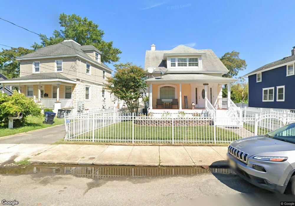
181 Edwards Ave Long Branch, NJ 07740
Estimated Value: $560,000 - $825,000
5
Beds
2
Baths
1,988
Sq Ft
$370/Sq Ft
Est. Value
About This Home
This home is located at 181 Edwards Ave, Long Branch, NJ 07740 and is currently estimated at $734,864, approximately $369 per square foot. 181 Edwards Ave is a home located in Monmouth County with nearby schools including Long Branch High School and Holy Trinity School.
Ownership History
Date
Name
Owned For
Owner Type
Purchase Details
Closed on
Jun 15, 2016
Sold by
Reis Emanuel Francisco
Bought by
Dacunha Vagner M
Current Estimated Value
Home Financials for this Owner
Home Financials are based on the most recent Mortgage that was taken out on this home.
Original Mortgage
$387,845
Outstanding Balance
$307,975
Interest Rate
3.5%
Mortgage Type
FHA
Estimated Equity
$426,889
Create a Home Valuation Report for This Property
The Home Valuation Report is an in-depth analysis detailing your home's value as well as a comparison with similar homes in the area
Home Values in the Area
Average Home Value in this Area
Purchase History
| Date | Buyer | Sale Price | Title Company |
|---|---|---|---|
| Dacunha Vagner M | $470,000 | Coastal Title |
Source: Public Records
Mortgage History
| Date | Status | Borrower | Loan Amount |
|---|---|---|---|
| Open | Dacunha Vagner M | $387,845 |
Source: Public Records
Tax History Compared to Growth
Tax History
| Year | Tax Paid | Tax Assessment Tax Assessment Total Assessment is a certain percentage of the fair market value that is determined by local assessors to be the total taxable value of land and additions on the property. | Land | Improvement |
|---|---|---|---|---|
| 2025 | $11,789 | $838,200 | $252,500 | $585,700 |
| 2024 | $10,627 | $767,000 | $232,500 | $534,500 |
| 2023 | $10,627 | $684,300 | $192,500 | $491,800 |
| 2022 | $9,813 | $555,500 | $139,600 | $415,900 |
| 2021 | $9,813 | $490,400 | $104,600 | $385,800 |
| 2020 | $9,932 | $475,200 | $91,600 | $383,600 |
| 2019 | $9,530 | $453,400 | $87,600 | $365,800 |
| 2018 | $9,259 | $438,000 | $85,600 | $352,400 |
| 2017 | $8,619 | $418,200 | $83,600 | $334,600 |
| 2016 | $8,058 | $398,700 | $94,600 | $304,100 |
| 2015 | $6,815 | $306,000 | $68,100 | $237,900 |
| 2014 | $6,278 | $297,100 | $86,000 | $211,100 |
Source: Public Records
Map
Nearby Homes
- 222 Coleman Ave
- 565 Joline Ave
- 401 Joline Ave
- 572 Jay St
- 190 Spruce St Unit 4
- 238 Branchport Ave
- 119 Washington St
- 148 Sixth Ave
- 631 Irving Place
- 184 N 5th Ave
- 151 N 5th Ave
- 211 Rockwell Ave
- 13 Morris Place
- 40 N 5th Ave
- 14 Slocum Place
- 39 Slocum Place
- 40 University Dr
- 399 Willow Ave
- 15 Signal Ave
- 28 Norwood Ave
- 185 Edwards Ave
- 175 Edwards Ave
- 189 Edwards Ave
- 432 Pacific St
- 479 Joline Ave
- 193 Edwards Ave
- 483 Joline Ave
- 485 Joline Ave
- 485 Joline Ave Unit 2
- 485 Joline Ave Unit s 2
- 485 Joline Ave Unit S 2 and 3
- 428 Pacific St
- 461 Joline Ave
- 182 Edwards Ave
- 475 Joline Ave
- 186 Edwards Ave
- 424 Pacific St
- 190 Edwards Ave
- 420 Pacific St
- 194 Edwards Ave