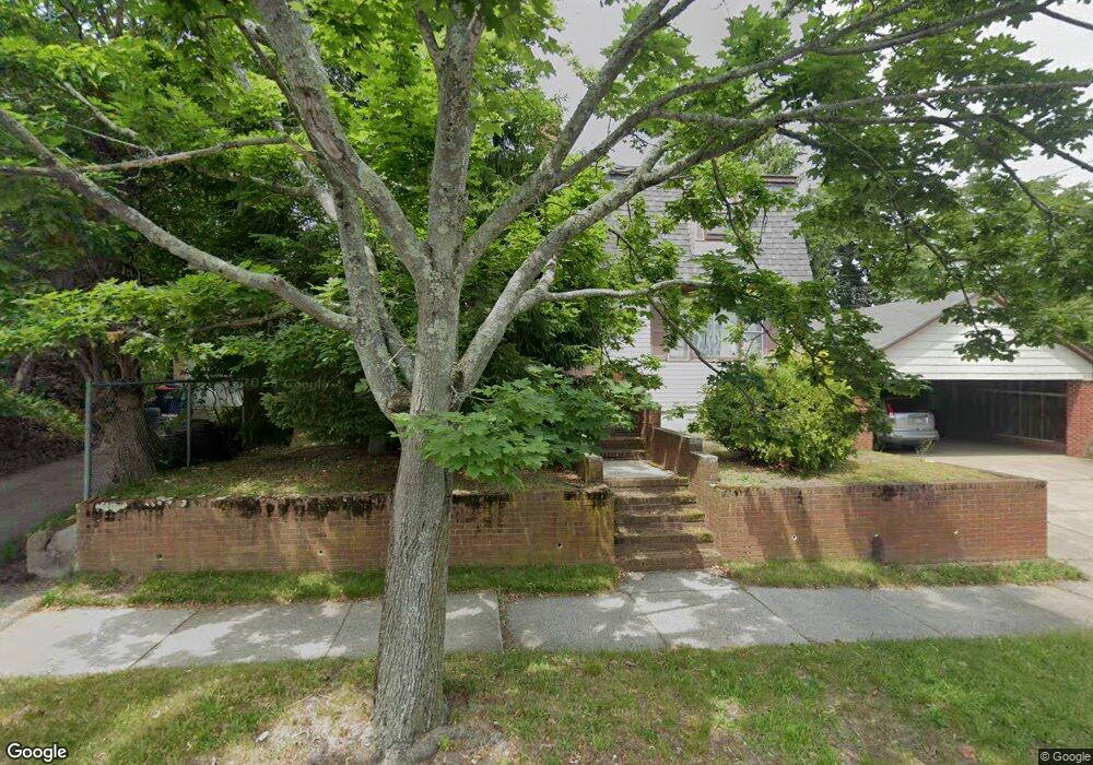
181 Hersom St New Bedford, MA 02745
Acushnet Station NeighborhoodEstimated Value: $460,000 - $524,633
4
Beds
3
Baths
1,872
Sq Ft
$257/Sq Ft
Est. Value
About This Home
This home is located at 181 Hersom St, New Bedford, MA 02745 and is currently estimated at $481,908, approximately $257 per square foot. 181 Hersom St is a home located in Bristol County with nearby schools including Jireh Swift School, Normandin Middle School, and New Bedford High School.
Ownership History
Date
Name
Owned For
Owner Type
Purchase Details
Closed on
Apr 2, 2025
Sold by
Rebello Lt and Rebello
Bought by
Rebello Nazare J
Current Estimated Value
Purchase Details
Closed on
Mar 18, 2022
Sold by
Moore Arminda
Bought by
Rebello Nazare J and Rebello David
Purchase Details
Closed on
Aug 10, 2017
Sold by
Rebello Joaquina Est
Bought by
Moore Arminda and Rebello David
Purchase Details
Closed on
Jul 7, 2008
Sold by
Rebello Fernando and Rebello Nazare J
Bought by
Rebello Joaquina
Create a Home Valuation Report for This Property
The Home Valuation Report is an in-depth analysis detailing your home's value as well as a comparison with similar homes in the area
Home Values in the Area
Average Home Value in this Area
Purchase History
| Date | Buyer | Sale Price | Title Company |
|---|---|---|---|
| Rebello Nazare J | $212,500 | None Available | |
| Rebello Nazare J | $212,500 | None Available | |
| Rebello Nazare J | -- | None Available | |
| Rebello Nazare J | -- | None Available | |
| Moore Arminda | -- | -- | |
| Moore Arminda | -- | -- | |
| Rebello Joaquina | -- | -- | |
| Rebello Joaquina | -- | -- |
Source: Public Records
Tax History Compared to Growth
Tax History
| Year | Tax Paid | Tax Assessment Tax Assessment Total Assessment is a certain percentage of the fair market value that is determined by local assessors to be the total taxable value of land and additions on the property. | Land | Improvement |
|---|---|---|---|---|
| 2025 | $5,040 | $445,600 | $146,500 | $299,100 |
| 2024 | $4,927 | $410,600 | $146,500 | $264,100 |
| 2023 | $5,009 | $350,500 | $117,700 | $232,800 |
| 2022 | $4,586 | $295,100 | $112,100 | $183,000 |
| 2021 | $4,431 | $284,200 | $112,100 | $172,100 |
| 2020 | $4,454 | $275,600 | $112,100 | $163,500 |
| 2019 | $4,412 | $267,900 | $112,100 | $155,800 |
| 2018 | $4,192 | $252,100 | $112,100 | $140,000 |
| 2017 | $4,017 | $240,700 | $107,700 | $133,000 |
| 2016 | $3,910 | $237,100 | $103,400 | $133,700 |
| 2015 | $3,682 | $234,100 | $103,400 | $130,700 |
| 2014 | $3,470 | $228,900 | $99,100 | $129,800 |
Source: Public Records
Map
Nearby Homes
- 263 Hersom St
- 187 Tarkiln Hill Rd
- 6 Illinois St
- 11 Moynan St
- 4 Tisbury St
- 27 Jean St
- 42 Princeton St
- 65 Armsby St
- 1840 1846 Acushnet Ave
- 22 Rock St
- 162 Princeton St
- 11 Saucier St
- 42 Query St
- 250-252 Shaw St
- 135-137 Query St
- 208 Princeton St
- 223 225 Prinston
- 98 Seabury St
- 203 S Main St
- 362 Prescott St
- 20 Branscomb St
- 28 Branscomb St Unit 30
- 32 Branscomb St Unit 34
- 2103 Acushnet Ave
- 2087 Acushnet Ave
- 193 Hersom St Unit 195
- 184 Hersom St
- 25 Branscomb St Unit 27
- 21 Branscomb St Unit 23
- 36 Branscomb St Unit 38
- 29 Branscomb St Unit 31
- 188 Hersom St
- 2083 Acushnet Ave Unit 2085
- 197 Hersom St
- 33 Branscomb St Unit 35
- 2111 Acushnet Ave Unit 2113
- 172 Harwich St
- 176 Harwich St
- 39 Branscomb St
- 199 Hersom St Unit 201