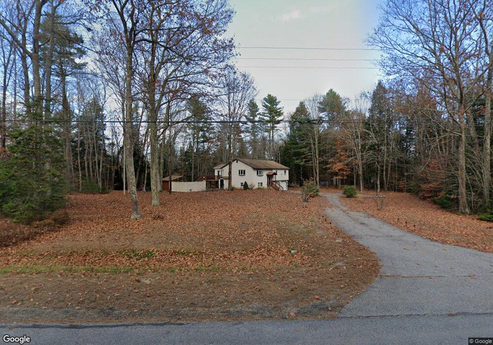
181 Hollis Rd Hollis Center, ME 04042
Hollis NeighborhoodEstimated Value: $425,229 - $482,000
3
Beds
2
Baths
1,852
Sq Ft
$250/Sq Ft
Est. Value
About This Home
This home is located at 181 Hollis Rd, Hollis Center, ME 04042 and is currently estimated at $462,307, approximately $249 per square foot. 181 Hollis Rd is a home located in York County with nearby schools including Bonny Eagle High School.
Ownership History
Date
Name
Owned For
Owner Type
Purchase Details
Closed on
Sep 16, 2019
Sold by
Grenier Keith R
Bought by
Grenier Keith R and Grenier Jean M
Current Estimated Value
Home Financials for this Owner
Home Financials are based on the most recent Mortgage that was taken out on this home.
Original Mortgage
$166,000
Outstanding Balance
$144,765
Interest Rate
3.6%
Mortgage Type
New Conventional
Estimated Equity
$317,542
Purchase Details
Closed on
Jul 19, 2005
Sold by
Harmon Angela and Harmon Richard A
Bought by
Nadeau David P and Bussiere Steven R
Home Financials for this Owner
Home Financials are based on the most recent Mortgage that was taken out on this home.
Original Mortgage
$215,000
Interest Rate
5.67%
Mortgage Type
Purchase Money Mortgage
Create a Home Valuation Report for This Property
The Home Valuation Report is an in-depth analysis detailing your home's value as well as a comparison with similar homes in the area
Home Values in the Area
Average Home Value in this Area
Purchase History
| Date | Buyer | Sale Price | Title Company |
|---|---|---|---|
| Grenier Keith R | -- | -- | |
| Grenier Keith R | -- | -- | |
| Grenier Keith R | -- | -- | |
| Nadeau David P | -- | -- | |
| Nadeau David P | -- | -- | |
| Nadeau David P | -- | -- |
Source: Public Records
Mortgage History
| Date | Status | Borrower | Loan Amount |
|---|---|---|---|
| Open | Grenier Keith R | $166,000 | |
| Closed | Grenier Keith R | $166,000 | |
| Previous Owner | Nadeau David P | $193,431 | |
| Previous Owner | Nadeau David P | $215,000 |
Source: Public Records
Tax History Compared to Growth
Tax History
| Year | Tax Paid | Tax Assessment Tax Assessment Total Assessment is a certain percentage of the fair market value that is determined by local assessors to be the total taxable value of land and additions on the property. | Land | Improvement |
|---|---|---|---|---|
| 2024 | $2,927 | $195,160 | $63,900 | $131,260 |
| 2023 | $2,830 | $195,160 | $63,900 | $131,260 |
| 2022 | $2,927 | $195,160 | $63,900 | $131,260 |
| 2021 | $2,780 | $195,120 | $63,860 | $131,260 |
| 2020 | $2,607 | $186,190 | $63,860 | $122,330 |
| 2019 | $2,560 | $186,190 | $63,860 | $122,330 |
| 2018 | $2,467 | $186,190 | $63,860 | $122,330 |
| 2017 | $2,327 | $186,190 | $63,860 | $122,330 |
| 2016 | $2,225 | $186,190 | $63,860 | $122,330 |
| 2015 | $2,225 | $186,190 | $63,860 | $122,330 |
| 2014 | $2,141 | $186,190 | $63,860 | $122,330 |
| 2013 | $2,048 | $186,190 | $63,860 | $122,330 |
Source: Public Records
Map
Nearby Homes
- 62 Nichols Ln
- 37 Joshua Ln
- 12 Salmon Falls Rd
- 30 Joy Valley Rd
- 95 River Rd
- 13 Bar Mills Rd
- 19 Depot St
- 37 Boynton Rd
- 1135 River Rd
- 222 Main St
- 305 River Rd
- 281 Narragansett Trail
- 0 Beech Plains Rd
- 48 Tickle Way
- 742 River Rd
- Lot 44A Hanson Ln
- Lot 44C Hanson Ln
- 430 Narragansett Trail
- 177 Old Orchard Rd
- 158 Lord Rd
- 182 Hollis Rd
- 5 Eagle Ridge
- 15 Eagle Ridge
- 6 Eagle Ridge
- 19 Eagle Ridge
- 208 Hollis Rd
- 16 Eagle Ridge
- 214 Hollis Rd
- 0 Rt 202 & Rt 4 Hollis
- 135 Joshua Ln
- 120 W Old Alfred Rd
- 125 Hollis Rd
- 237 Hollis Rd
- 88 W Old Alfred Rd
- 0 Route 117 & 4a
- TBB Cape Cape Road Aka Rt 117
- 3ac Cape Aka Route 117
- 242 Hollis Rd
- 91 W Old Alfred Rd
- 74 W Old Alfred Rd