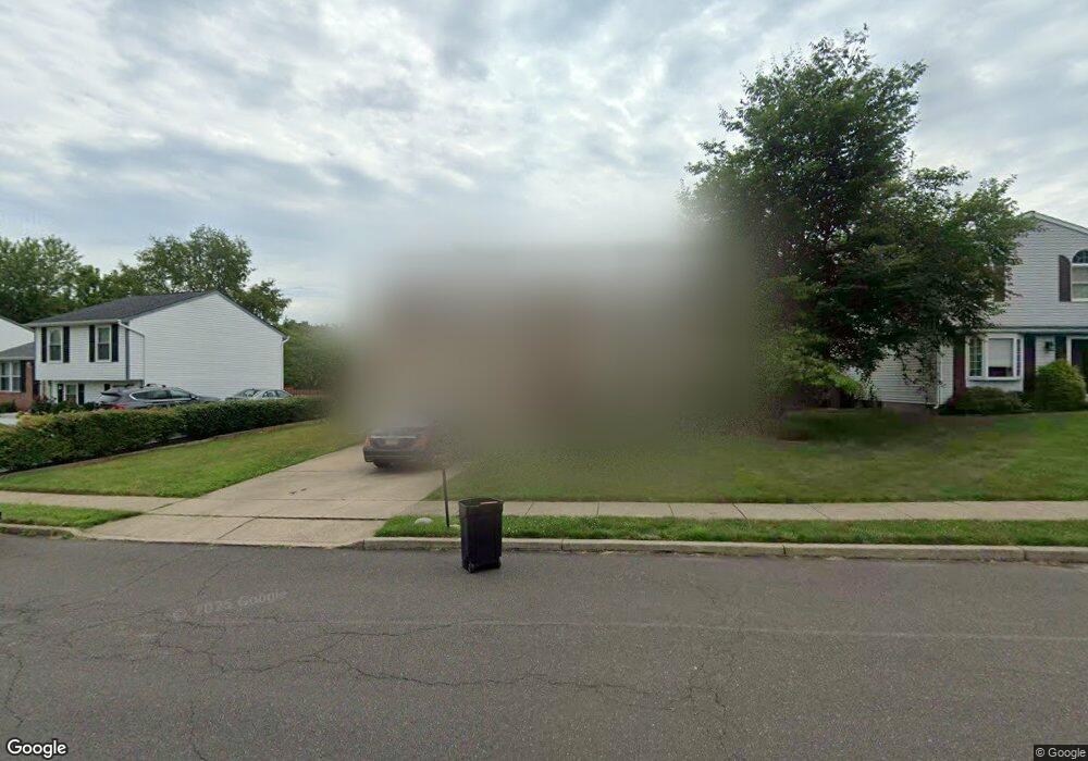
181 Independence Dr Morrisville, PA 19067
Estimated Value: $413,481 - $513,000
3
Beds
1
Bath
1,040
Sq Ft
$440/Sq Ft
Est. Value
About This Home
This home is located at 181 Independence Dr, Morrisville, PA 19067 and is currently estimated at $457,370, approximately $439 per square foot. 181 Independence Dr is a home located in Bucks County with nearby schools including Eleanor Roosevelt Elementary School, Pennwood Middle School, and Pennsbury High School.
Ownership History
Date
Name
Owned For
Owner Type
Purchase Details
Closed on
Feb 9, 1996
Sold by
Toth John Paul
Bought by
Abercrombie Stephen
Current Estimated Value
Home Financials for this Owner
Home Financials are based on the most recent Mortgage that was taken out on this home.
Original Mortgage
$124,233
Outstanding Balance
$4,049
Interest Rate
6.97%
Mortgage Type
FHA
Estimated Equity
$453,321
Purchase Details
Closed on
Jun 11, 1991
Bought by
Toth John Paul
Create a Home Valuation Report for This Property
The Home Valuation Report is an in-depth analysis detailing your home's value as well as a comparison with similar homes in the area
Home Values in the Area
Average Home Value in this Area
Purchase History
| Date | Buyer | Sale Price | Title Company |
|---|---|---|---|
| Abercrombie Stephen | $135,000 | -- | |
| Toth John Paul | $140,000 | -- |
Source: Public Records
Mortgage History
| Date | Status | Borrower | Loan Amount |
|---|---|---|---|
| Open | Abercrombie Stephen | $124,233 |
Source: Public Records
Tax History Compared to Growth
Tax History
| Year | Tax Paid | Tax Assessment Tax Assessment Total Assessment is a certain percentage of the fair market value that is determined by local assessors to be the total taxable value of land and additions on the property. | Land | Improvement |
|---|---|---|---|---|
| 2025 | $5,612 | $25,200 | $5,760 | $19,440 |
| 2024 | $5,612 | $25,200 | $5,760 | $19,440 |
| 2023 | $5,377 | $25,200 | $5,760 | $19,440 |
| 2022 | $5,210 | $25,200 | $5,760 | $19,440 |
| 2021 | $5,109 | $25,200 | $5,760 | $19,440 |
| 2020 | $5,109 | $25,200 | $5,760 | $19,440 |
| 2019 | $5,020 | $25,200 | $5,760 | $19,440 |
| 2018 | $4,958 | $25,200 | $5,760 | $19,440 |
| 2017 | $4,833 | $25,200 | $5,760 | $19,440 |
| 2016 | $4,833 | $25,200 | $5,760 | $19,440 |
| 2015 | $4,400 | $25,200 | $5,760 | $19,440 |
| 2014 | $4,400 | $25,200 | $5,760 | $19,440 |
Source: Public Records
Map
Nearby Homes
- 113 Juliet Rd
- 413 Alden Ave
- 404 Alden Ave
- 115 Winding Way
- 10 Makefield Rd
- 5 Patrick Ln
- 494 Keating Dr
- 229 Walton Dr
- LOT 021-003 W M Y Ln
- 199 Share Dr
- 581 Nottingham Dr
- 320 Melvin Ave N
- 329 Sherwood Dr
- 670 Lincoln Hwy
- 554 Doloro Dr
- 79 Sutphin Pines
- 505 Carmela Way
- 21 Lynns Ct
- 227 W Ferry Rd
- 9 Lynns Ct
- 183 Independence Dr
- 179 Independence Dr
- 185 Independence Dr
- 177 Independence Dr
- 426 Centennial Dr
- 160 Independence Dr
- 156 Independence Dr
- 175 Independence Dr
- 187 Independence Dr
- 162 Independence Dr
- 424 Centennial Dr
- 154 Independence Dr
- 429 Centennial Dr
- 173 Independence Dr
- 164 Independence Dr
- 150 Penns Grant Dr
- 422 Centennial Dr
- 152 Penns Grant Dr
- 427 Centennial Dr
- 171 Independence Dr