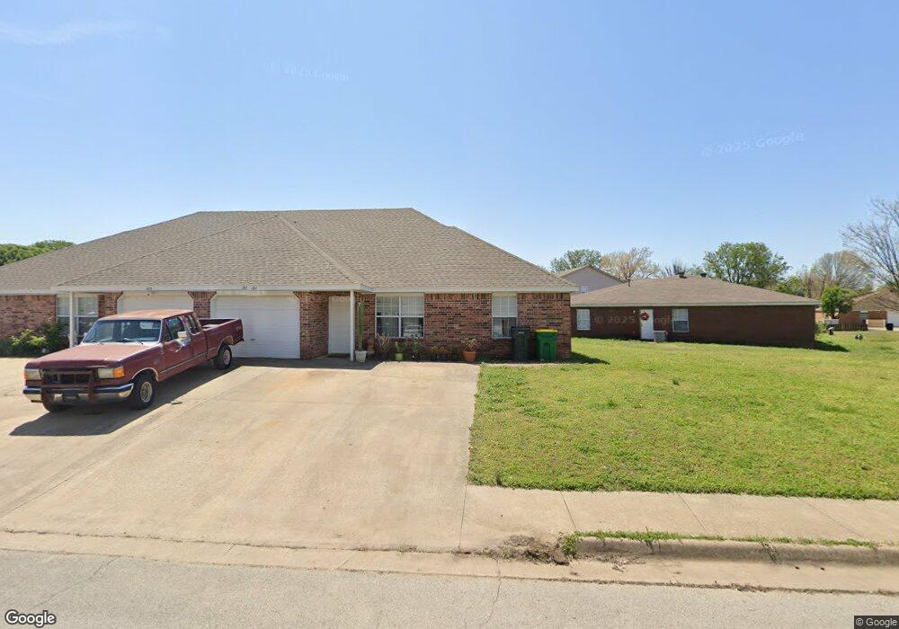
181 Killdeer Dr Farmington, AR 72730
Estimated Value: $322,695 - $408,000
Studio
4
Baths
2,604
Sq Ft
$140/Sq Ft
Est. Value
About This Home
This home is located at 181 Killdeer Dr, Farmington, AR 72730 and is currently estimated at $364,424, approximately $139 per square foot. 181 Killdeer Dr is a home located in Washington County with nearby schools including Randall G. Lynch Middle School, Bob Folsom Elementary School, and Farmington Jr. High.
Ownership History
Date
Name
Owned For
Owner Type
Purchase Details
Closed on
Dec 29, 2010
Sold by
Gunn Mary Ann
Bought by
Gunn Properties Llc
Current Estimated Value
Purchase Details
Closed on
Dec 23, 2010
Sold by
Mashburn Michael H
Bought by
Gunn Mary Ann
Purchase Details
Closed on
Jan 1, 1994
Bought by
Horizons West Limited Ptnshp
Create a Home Valuation Report for This Property
The Home Valuation Report is an in-depth analysis detailing your home's value as well as a comparison with similar homes in the area
Home Values in the Area
Average Home Value in this Area
Purchase History
| Date | Buyer | Sale Price | Title Company |
|---|---|---|---|
| Gunn Properties Llc | -- | None Available | |
| Gunn Mary Ann | -- | None Available | |
| Horizons West Limited Ptnshp | -- | -- |
Source: Public Records
Tax History
| Year | Tax Paid | Tax Assessment Tax Assessment Total Assessment is a certain percentage of the fair market value that is determined by local assessors to be the total taxable value of land and additions on the property. | Land | Improvement |
|---|---|---|---|---|
| 2025 | $2,302 | $54,460 | $9,000 | $45,460 |
| 2024 | $2,146 | $54,460 | $9,000 | $45,460 |
| 2023 | $2,051 | $54,460 | $9,000 | $45,460 |
| 2022 | $1,865 | $34,790 | $6,000 | $28,790 |
| 2021 | $1,819 | $34,790 | $6,000 | $28,790 |
| 2020 | $1,667 | $34,790 | $6,000 | $28,790 |
| 2019 | $1,521 | $28,120 | $6,000 | $22,120 |
| 2018 | $1,521 | $28,120 | $6,000 | $22,120 |
| 2017 | $1,507 | $28,120 | $6,000 | $22,120 |
| 2016 | $1,507 | $28,120 | $6,000 | $22,120 |
| 2015 | $1,507 | $28,120 | $6,000 | $22,120 |
| 2014 | $1,611 | $30,050 | $6,000 | $24,050 |
Source: Public Records
Map
Nearby Homes
- 75 & 81 W Dakota Trail
- 124 Signature Dr
- 201 Countryside Dr
- 264 Sundown Dr
- 265 Greenfield Ave
- 271 Greenfield Ave
- 334 W Tyler Rd
- 46 Briarmeadow St
- 335 W Tyler Rd
- 258 S Amber Dawn Ave
- 249 Wedgeview Dr
- 265 S Amber Dawn Ave
- 114 W Main St
- 180 W Main St
- 9 Locust St
- 3480 Red Tail Way
- 0 W Main St Unit 1281343
- 0 W Main St Unit 1.2 AC
- 0 W Main St Unit 1291778
- 0 W Main St Unit 1291878
- 174 Plover Cove
- 176 Plover Cove
- 171 Killdeer Dr
- 180 Killdeer Dr
- 178 Killdeer Dr
- 178 Killdeer Dr Unit 2
- 172 Killdeer Dr Unit 172-174
- 174 Killdeer Dr
- 184 Killdeer Dr
- 184 Killdeer Dr Unit 184-186
- 167 Killdeer Dr
- 180 Plover Cove
- 180 & 182 W Plover Cove
- 179 Plover Cove
- 168 Killdeer Dr
- 168 Killdeer Dr Unit 168
- 166 Killdeer Dr
- 190 Killdeer Dr
- 190 & 192 Killdeer Dr
Your Personal Tour Guide
Ask me questions while you tour the home.