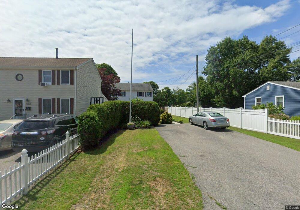
181 King Philip Rd Unit 183 Rumford, RI 02916
Estimated Value: $518,928 - $655,000
6
Beds
4
Baths
2,052
Sq Ft
$284/Sq Ft
Est. Value
About This Home
This home is located at 181 King Philip Rd Unit 183, Rumford, RI 02916 and is currently estimated at $581,982, approximately $283 per square foot. 181 King Philip Rd Unit 183 is a home located in Providence County with nearby schools including East Providence High School, Ocean State Montessori School, and St Margaret School.
Ownership History
Date
Name
Owned For
Owner Type
Purchase Details
Closed on
May 14, 2015
Sold by
Rosa Joseph and Brinkman Nalia
Bought by
Brickman Nelia and Rosa Gill
Current Estimated Value
Purchase Details
Closed on
Nov 4, 1991
Sold by
Limperis James
Bought by
Rosa Carlos C
Home Financials for this Owner
Home Financials are based on the most recent Mortgage that was taken out on this home.
Original Mortgage
$70,000
Interest Rate
8.9%
Purchase Details
Closed on
Nov 15, 1988
Sold by
Custom Homes Dumont
Bought by
Limperis James
Create a Home Valuation Report for This Property
The Home Valuation Report is an in-depth analysis detailing your home's value as well as a comparison with similar homes in the area
Home Values in the Area
Average Home Value in this Area
Purchase History
| Date | Buyer | Sale Price | Title Company |
|---|---|---|---|
| Brickman Nelia | -- | -- | |
| Brickman Nelia | -- | -- | |
| Rosa Carlos C | $160,000 | -- | |
| Rosa Carlos C | $160,000 | -- | |
| Limperis James | $168,000 | -- | |
| Limperis James | $168,000 | -- |
Source: Public Records
Mortgage History
| Date | Status | Borrower | Loan Amount |
|---|---|---|---|
| Previous Owner | Limperis James | $100,000 | |
| Previous Owner | Limperis James | $70,000 |
Source: Public Records
Tax History Compared to Growth
Tax History
| Year | Tax Paid | Tax Assessment Tax Assessment Total Assessment is a certain percentage of the fair market value that is determined by local assessors to be the total taxable value of land and additions on the property. | Land | Improvement |
|---|---|---|---|---|
| 2024 | $6,454 | $421,000 | $101,300 | $319,700 |
| 2023 | $6,214 | $421,000 | $101,300 | $319,700 |
| 2022 | $6,259 | $286,300 | $48,000 | $238,300 |
| 2021 | $6,155 | $286,300 | $46,500 | $239,800 |
| 2020 | $5,895 | $286,300 | $46,500 | $239,800 |
| 2019 | $5,732 | $286,300 | $46,500 | $239,800 |
| 2018 | $5,322 | $232,600 | $47,200 | $185,400 |
| 2017 | $5,203 | $232,600 | $47,200 | $185,400 |
| 2016 | $5,178 | $232,600 | $47,200 | $185,400 |
| 2015 | $5,111 | $222,700 | $43,700 | $179,000 |
| 2014 | $5,111 | $222,700 | $43,700 | $179,000 |
Source: Public Records
Map
Nearby Homes
- 48 Hobson Ave
- 71 Priscilla Ave
- 41 What Cheer Ave
- 169 Wilmarth Ave
- 200 Woodward Ave
- 661 N Broadway
- 62 Byron Ave
- 674 N Broadway
- 115 Sutton Ave
- 10 Linden Ave
- 12 Parsons St Unit 14
- 73 Massasoit Ave
- 125 Roger Williams Ave
- 58 Central Ave
- 168 Waterman Ave
- 141 E Point Dr Unit 206
- 141 E Point Dr Unit 108
- 141 E Point Dr Unit 401
- 141 E Point Dr Unit 212
- 141 E Point Dr Unit 105
- 185 King Philip Rd
- 189 King Philip Rd
- 171 King Philip Rd
- 432 Massasoit Ave
- 428 Massasoit Ave
- 412 Massasoit Ave
- 175 King Philip Rd
- 180 King Philip Rd
- 73 Larchmere Dr
- 166 King Philip Rd
- 404 Massasoit Ave
- 160 King Philip Rd
- 70 Larchmere Dr
- 179 King Philip Rd
- 415 Massasoit Ave
- 156 King Philip Rd
- 417 Massasoit Ave
- 411 Massasoit Ave
- 65 Larchmere Dr
- 66 Larchmere Dr