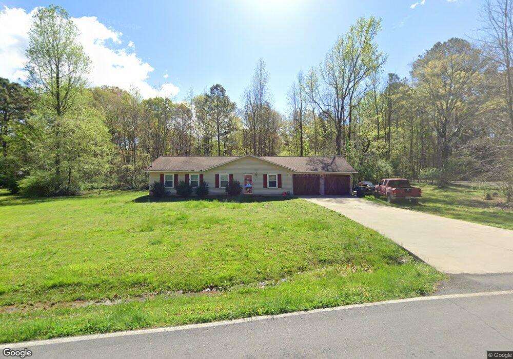
181 Liberty Ln SW Calhoun, GA 30701
Estimated Value: $214,936 - $271,000
3
Beds
1
Bath
1,308
Sq Ft
$187/Sq Ft
Est. Value
About This Home
This home is located at 181 Liberty Ln SW, Calhoun, GA 30701 and is currently estimated at $244,234, approximately $186 per square foot. 181 Liberty Ln SW is a home located in Gordon County with nearby schools including Swain Elementary School, Ashworth Middle School, and Gordon Central High School.
Ownership History
Date
Name
Owned For
Owner Type
Purchase Details
Closed on
Oct 6, 2000
Sold by
Secretary Of Housing & Urban
Bought by
Petty Jamie L and Amanda Beth
Current Estimated Value
Purchase Details
Closed on
Jun 6, 2000
Bought by
Homeside Lending Inc
Purchase Details
Closed on
Sep 3, 1996
Bought by
Tabb Wendell and Tabb Mary A
Purchase Details
Closed on
Jun 14, 1996
Bought by
Secretary Of Housing
Create a Home Valuation Report for This Property
The Home Valuation Report is an in-depth analysis detailing your home's value as well as a comparison with similar homes in the area
Home Values in the Area
Average Home Value in this Area
Purchase History
| Date | Buyer | Sale Price | Title Company |
|---|---|---|---|
| Petty Jamie L | $65,000 | -- | |
| Homeside Lending Inc | $65,500 | -- | |
| Secretary Of Housing & Urban | -- | -- | |
| Tabb Wendell | $65,500 | -- | |
| U S Dept Of Hous & Urb Devpt | $65,500 | -- | |
| Secretary Of Housing | $77,700 | -- | |
| Greystone Servicing Corp Inc | $77,700 | -- |
Source: Public Records
Tax History Compared to Growth
Tax History
| Year | Tax Paid | Tax Assessment Tax Assessment Total Assessment is a certain percentage of the fair market value that is determined by local assessors to be the total taxable value of land and additions on the property. | Land | Improvement |
|---|---|---|---|---|
| 2024 | $1,410 | $57,480 | $5,600 | $51,880 |
| 2023 | $1,316 | $53,800 | $5,600 | $48,200 |
| 2022 | $1,314 | $50,640 | $5,600 | $45,040 |
| 2021 | $1,099 | $41,240 | $5,600 | $35,640 |
| 2020 | $1,138 | $41,720 | $5,600 | $36,120 |
| 2019 | $1,144 | $41,720 | $5,600 | $36,120 |
| 2018 | $1,057 | $38,680 | $5,600 | $33,080 |
| 2017 | $1,027 | $36,640 | $5,600 | $31,040 |
| 2016 | $1,029 | $36,640 | $5,600 | $31,040 |
| 2015 | $1,018 | $35,960 | $5,600 | $30,360 |
| 2014 | $681 | $25,372 | $4,480 | $20,892 |
Source: Public Records
Map
Nearby Homes
- 261 Liberty Ln SW
- 490 McDaniel Station Rd SW
- 506 McDaniel Station Rd SW
- 458 McDaniel Station Rd SW
- 474 McDaniel Station Rd SW
- 0 Highway 53 Spur SW Unit 7529096
- 0 Reeves Station Rd SW Unit 10548197
- 0 Reeves Station Rd SW Unit 7601645
- 00 Belmont Dr
- 1401 U S 41
- 121 Foxhall Dr SW
- 271 Old Belwood Rd SE
- 110 Darby Rd SW
- 1311 Us Highway 41
- 0 W Belmont Dr Unit 10489910
- 0 Richardson Rd SE Unit 10474273
- 0 Richardson Rd SE Unit 7537183
- 211 Darby Rd SW
- 201 Porch Loop SE
- 1943 Rome Rd SW
- 124 Liberty Cir SW
- 195 Liberty Ln SW
- 186 Liberty Ln SW
- 163 Liberty Ln SW
- 129 Liberty Cir SW
- 194 Liberty Ln SW
- 0 Liberty Ln SW Unit 7063851
- 0 Liberty Ln SW Unit 8766562
- 0 Liberty Ln SW Unit 7560444
- Lot 15 Liberty Ln SW
- 150 Liberty Cir SW
- 156 Liberty Ln SW
- 155 Liberty Ln SW
- 237 Liberty Ln SW
- 182 Liberty Cir SW
- 139 Liberty Cir SW
- 138 Liberty Ln SW
- 247 Liberty Ln SW
- 145 Liberty Ln SW
- 153 Liberty Cir SW