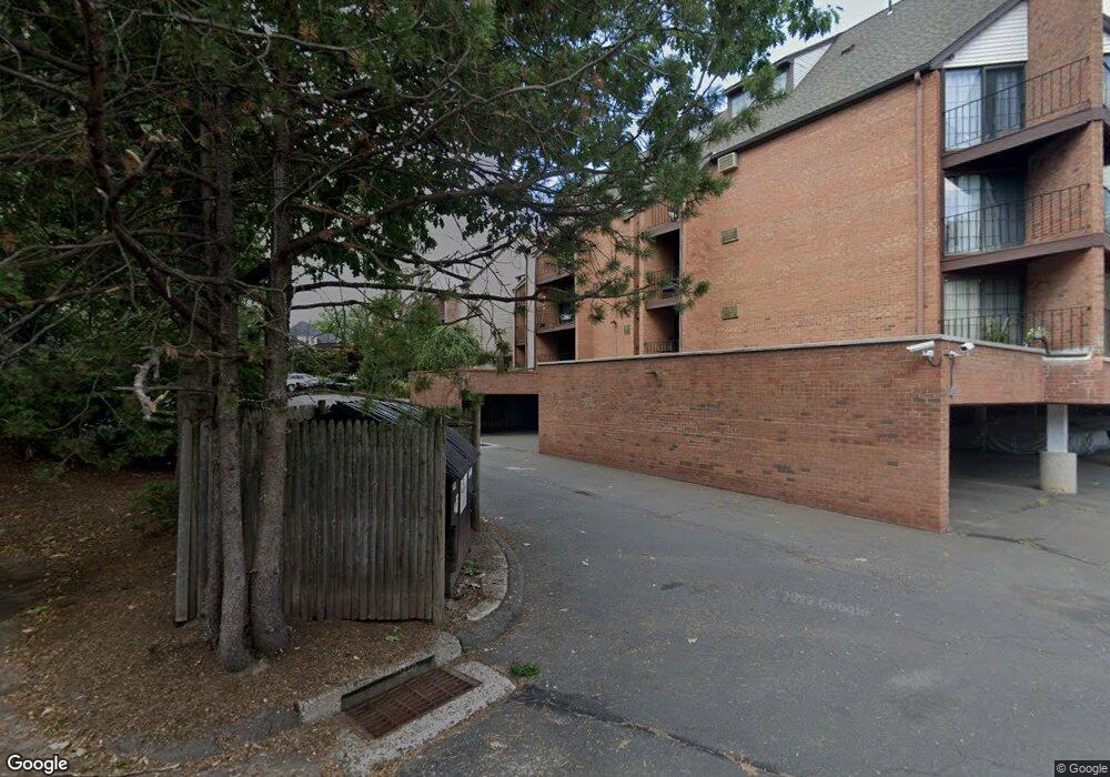
181 Loomis Dr Unit 154 West Hartford, CT 06107
Estimated Value: $257,232 - $313,000
2
Beds
2
Baths
1,002
Sq Ft
$287/Sq Ft
Est. Value
About This Home
This home is located at 181 Loomis Dr Unit 154, West Hartford, CT 06107 and is currently estimated at $288,058, approximately $287 per square foot. 181 Loomis Dr Unit 154 is a home located in Hartford County with nearby schools including Bugbee School, King Philip Middle School, and Hall High School.
Ownership History
Date
Name
Owned For
Owner Type
Purchase Details
Closed on
Nov 1, 2004
Sold by
Hunt Robert R
Bought by
Borla Karen M
Current Estimated Value
Home Financials for this Owner
Home Financials are based on the most recent Mortgage that was taken out on this home.
Original Mortgage
$156,750
Interest Rate
5.62%
Create a Home Valuation Report for This Property
The Home Valuation Report is an in-depth analysis detailing your home's value as well as a comparison with similar homes in the area
Home Values in the Area
Average Home Value in this Area
Purchase History
| Date | Buyer | Sale Price | Title Company |
|---|---|---|---|
| Borla Karen M | $165,000 | -- |
Source: Public Records
Mortgage History
| Date | Status | Borrower | Loan Amount |
|---|---|---|---|
| Closed | Borla Karen M | $147,000 | |
| Closed | Borla Karen M | $156,750 |
Source: Public Records
Tax History Compared to Growth
Tax History
| Year | Tax Paid | Tax Assessment Tax Assessment Total Assessment is a certain percentage of the fair market value that is determined by local assessors to be the total taxable value of land and additions on the property. | Land | Improvement |
|---|---|---|---|---|
| 2025 | $5,191 | $115,920 | $0 | $115,920 |
| 2024 | $4,909 | $115,920 | $0 | $115,920 |
| 2023 | $4,743 | $115,920 | $0 | $115,920 |
| 2022 | $4,716 | $115,920 | $0 | $115,920 |
| 2021 | $4,894 | $115,360 | $0 | $115,360 |
| 2020 | $4,916 | $117,600 | $0 | $117,600 |
| 2019 | $4,916 | $117,600 | $0 | $117,600 |
| 2018 | $4,822 | $117,600 | $0 | $117,600 |
| 2017 | $4,826 | $117,600 | $0 | $117,600 |
| 2016 | $4,624 | $117,040 | $0 | $117,040 |
| 2015 | $4,484 | $117,040 | $0 | $117,040 |
| 2014 | $4,374 | $117,040 | $0 | $117,040 |
Source: Public Records
Map
Nearby Homes
- 183 Loomis Dr Unit 109
- 37 Sylvan Ave
- 89 N Main St
- 473 Fern St
- 1110 Trout Brook Dr
- 97 Robin Rd
- 54 Robin Rd Unit B2
- 132 N Main St
- 26 Robin Rd Unit 3
- 18 Robin Rd Unit 1
- 2 Arapahoe Rd Unit 308
- 2 Arapahoe Rd Unit 415
- 2 Arapahoe Rd Unit 611
- 2 Arapahoe Rd Unit 613
- 2 Arapahoe Rd Unit 311
- 2 Arapahoe Rd Unit 312
- 2 Arapahoe Rd Unit 510
- 2 Arapahoe Rd Unit 610
- 2 Arapahoe Rd Unit 609
- 2 Arapahoe Rd Unit 606
- 183 Loomis Dr Unit 122
- 183 Loomis Dr Unit 121
- 183 Loomis Dr Unit 120
- 183 Loomis Dr Unit 119
- 183 Loomis Dr Unit 118
- 183 Loomis Dr Unit 117
- 183 Loomis Dr Unit 116
- 183 Loomis Dr Unit 115
- 183 Loomis Dr Unit 114
- 183 Loomis Dr Unit 113
- 183 Loomis Dr Unit 112
- 183 Loomis Dr Unit 111
- 183 Loomis Dr Unit 110
- 183 Loomis Dr Unit 108
- 183 Loomis Dr Unit 107
- 183 Loomis Dr Unit 106
- 183 Loomis Dr Unit 105
- 183 Loomis Dr Unit 103
- 183 Loomis Dr Unit 102
- 183 Loomis Dr Unit 101