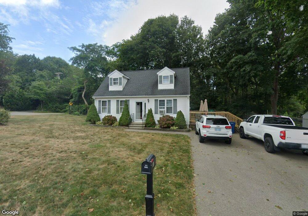
181 Macarthur Blvd Wakefield, RI 02879
Estimated Value: $540,000 - $622,000
4
Beds
2
Baths
1,428
Sq Ft
$414/Sq Ft
Est. Value
About This Home
This home is located at 181 Macarthur Blvd, Wakefield, RI 02879 and is currently estimated at $590,504, approximately $413 per square foot. 181 Macarthur Blvd is a home located in Washington County with nearby schools including South Kingstown High School, Monsignor Matthew Clarke Catholic Regional School, and Bradley School-South.
Ownership History
Date
Name
Owned For
Owner Type
Purchase Details
Closed on
Jun 14, 1996
Sold by
J&J Concepts Inc
Bought by
Sawyer Troy R and Sawyer Wendy
Current Estimated Value
Create a Home Valuation Report for This Property
The Home Valuation Report is an in-depth analysis detailing your home's value as well as a comparison with similar homes in the area
Home Values in the Area
Average Home Value in this Area
Purchase History
| Date | Buyer | Sale Price | Title Company |
|---|---|---|---|
| Sawyer Troy R | $120,000 | -- |
Source: Public Records
Mortgage History
| Date | Status | Borrower | Loan Amount |
|---|---|---|---|
| Open | Sawyer Troy R | $185,000 | |
| Closed | Sawyer Troy R | $173,000 | |
| Closed | Sawyer Troy R | $12,000 | |
| Closed | Sawyer Troy R | $60,000 |
Source: Public Records
Tax History
| Year | Tax Paid | Tax Assessment Tax Assessment Total Assessment is a certain percentage of the fair market value that is determined by local assessors to be the total taxable value of land and additions on the property. | Land | Improvement |
|---|---|---|---|---|
| 2025 | $4,039 | $451,800 | $178,500 | $273,300 |
| 2024 | $4,012 | $363,100 | $137,100 | $226,000 |
| 2023 | $4,012 | $363,100 | $137,100 | $226,000 |
| 2022 | $3,976 | $363,100 | $137,100 | $226,000 |
| 2021 | $4,186 | $289,700 | $119,100 | $170,600 |
| 2020 | $4,186 | $289,700 | $119,100 | $170,600 |
| 2019 | $4,186 | $289,700 | $119,100 | $170,600 |
| 2018 | $3,922 | $250,100 | $110,800 | $139,300 |
| 2017 | $3,829 | $250,100 | $110,800 | $139,300 |
| 2016 | $3,774 | $250,100 | $110,800 | $139,300 |
| 2015 | $3,864 | $249,000 | $108,300 | $140,700 |
| 2014 | $3,855 | $249,000 | $108,300 | $140,700 |
Source: Public Records
Map
Nearby Homes
- 143 Summit Ave
- 45 Cherry Ln Unit C
- 39 Hazard Ave
- 20 Cleveland St
- 37 Columbia St
- 15 Jessica Ln
- 131 Columbia St
- 13 Prospect Ave
- 66 Christopher St
- 56 Wanda St
- 54 Othmar St
- 48 Stone Bridge Dr
- 216 S Pier Rd
- 301 Church St Unit 103
- 35 Abbey Rd
- 0 Blossom Way Unit 1402677
- 140 S Pier Rd
- 16 Courtway St
- 23 Rockland Dr
- 127 Boon St
- 121 Narragansett Ave W
- 91 Narragansett Ave W
- 115 Narragansett Ave W
- 104 Narragansett Ave W
- 96 Narragansett Ave W
- 155 Macarthur Blvd
- 84 Narragansett Ave W
- 73 Narragansett Ave W
- 120 Narragansett Ave W
- 67 Narragansett Ave W Unit A
- 67 Narragansett Ave W Unit B
- 67 Narragansett Ave W
- 4 Audobon Dr
- 145 Macarthur Blvd
- 66 Narragansett Ave W
- 143 Narragansett Ave E
- 110 Narragansett Ave W
- 80 Narragansett Ave W
- 68 Narragansett Ave W
- 140 Macarthur Blvd
Your Personal Tour Guide
Ask me questions while you tour the home.