181 Milky Way Dr Unit 1 Woodland, WA 98674
Estimated Value: $822,587 - $908,000
3
Beds
3
Baths
2,666
Sq Ft
$325/Sq Ft
Est. Value
About This Home
This home is located at 181 Milky Way Dr Unit 1, Woodland, WA 98674 and is currently estimated at $865,529, approximately $324 per square foot. 181 Milky Way Dr Unit 1 is a home located in Cowlitz County with nearby schools including Woodland High School.
Ownership History
Date
Name
Owned For
Owner Type
Purchase Details
Closed on
Sep 9, 2019
Sold by
Becker David R and Becker Caroly D
Bought by
George Brenden and George Sarah
Current Estimated Value
Purchase Details
Closed on
Aug 2, 2006
Sold by
Beveridge Dennis and Beveridge Debbie
Bought by
Paine Charles A
Home Financials for this Owner
Home Financials are based on the most recent Mortgage that was taken out on this home.
Original Mortgage
$7,000,000
Interest Rate
6.57%
Mortgage Type
Purchase Money Mortgage
Purchase Details
Closed on
Jul 17, 2006
Sold by
Critton Jeremy V
Bought by
Banner Properties Inc
Home Financials for this Owner
Home Financials are based on the most recent Mortgage that was taken out on this home.
Original Mortgage
$7,000,000
Interest Rate
6.57%
Mortgage Type
Purchase Money Mortgage
Create a Home Valuation Report for This Property
The Home Valuation Report is an in-depth analysis detailing your home's value as well as a comparison with similar homes in the area
Home Values in the Area
Average Home Value in this Area
Purchase History
| Date | Buyer | Sale Price | Title Company |
|---|---|---|---|
| George Brenden | $148,000 | Cascade Title Co | |
| Paine Charles A | $237,000 | Stewart Title Of Wes | |
| Banner Properties Inc | $225,000 | Chicago Title Ins |
Source: Public Records
Mortgage History
| Date | Status | Borrower | Loan Amount |
|---|---|---|---|
| Previous Owner | Banner Properties Inc | $7,000,000 |
Source: Public Records
Tax History Compared to Growth
Tax History
| Year | Tax Paid | Tax Assessment Tax Assessment Total Assessment is a certain percentage of the fair market value that is determined by local assessors to be the total taxable value of land and additions on the property. | Land | Improvement |
|---|---|---|---|---|
| 2024 | $6,461 | $702,990 | $162,220 | $540,770 |
| 2023 | $4,905 | $697,090 | $151,610 | $545,480 |
| 2022 | $5,899 | $718,270 | $131,840 | $586,430 |
| 2021 | $5,578 | $553,320 | $101,410 | $451,910 |
| 2020 | $1,113 | $498,240 | $101,400 | $396,840 |
| 2019 | $1,051 | $96,571 | $96,571 | $0 |
| 2018 | $1,004 | $96,570 | $96,570 | $0 |
| 2017 | $831 | $79,980 | $79,980 | $0 |
| 2016 | $810 | $72,710 | $72,710 | $0 |
| 2015 | $708 | $71,280 | $71,280 | $0 |
| 2013 | -- | $59,250 | $59,250 | $0 |
Source: Public Records
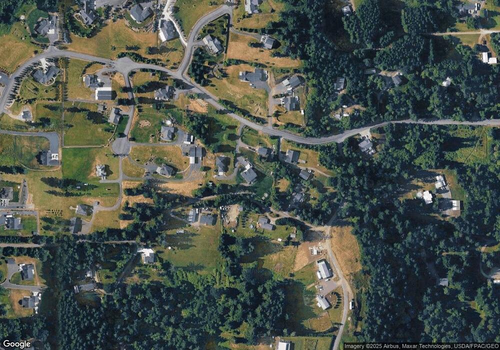
Map
Nearby Homes
- 170 Pandora Point Rd
- 0 Columbia View Dr
- 175 Ridgemont Dr
- 239 Columbia View Dr
- 1334 Insel Rd
- 130 Upland Dr
- 444 Sommerset Rd
- 4130 Green Mountain Rd
- 714 Sommerset Rd
- 5389 Green Mountain Rd
- 0 Cascadia Ln Unit NWM2252369
- 0 Cascadia Ln Unit 2 24657065
- 858 Sommerset Rd
- 605 Gun Club Rd
- 629 Lane Rd
- 175 Webster Ln
- 369 Gun Club Rd Unit 48
- 369 Gun Club Rd Unit 101
- 369 Gun Club Rd Unit 70
- 369 Gun Club Rd Unit 53
- 181 Milky Way Dr
- 137 Moonridge Rd
- 183 Milky Way Dr
- 183 Milky Way Dr Unit 3
- 183 Milky Way Dr Unit 2
- 251 Moonridge Rd
- 174 Moonridge Rd
- 163 Saturn Ave
- 163 Saturn Ave
- 182 Milky Way Dr
- 191 Milky Way Dr
- 281 Moonridge Rd
- 151 Saturn Ave
- 0 Moonridge Unit 29108645
- 0 Moonridge Unit NWM451032
- 0 Moonridge Unit NWM318527
- 0 Moonridge Unit NWM318485
- 0 Moonridge Unit NWM318494
- 0 Moonridge Unit NWM318478
- 0 Moonridge Unit NWM318474