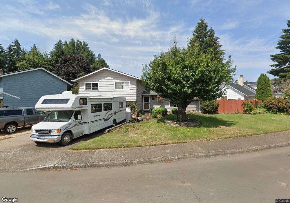
181 NE 20th Dr Hillsboro, OR 97124
Central Hillsboro NeighborhoodEstimated Value: $549,763 - $629,000
3
Beds
2
Baths
1,684
Sq Ft
$350/Sq Ft
Est. Value
About This Home
This home is located at 181 NE 20th Dr, Hillsboro, OR 97124 and is currently estimated at $588,941, approximately $349 per square foot. 181 NE 20th Dr is a home located in Washington County with nearby schools including Eastwood Elementary School, J.W. Poynter Middle School, and Liberty High School.
Ownership History
Date
Name
Owned For
Owner Type
Purchase Details
Closed on
Jun 30, 2015
Sold by
Keen Ronald A and Keen Lois A
Bought by
Keen Ronald A and Keen Lois A
Current Estimated Value
Purchase Details
Closed on
Sep 26, 1995
Sold by
Morey Michael J and Morey Cheri D
Bought by
Keen Ronald A and Keen Lois A
Home Financials for this Owner
Home Financials are based on the most recent Mortgage that was taken out on this home.
Original Mortgage
$131,100
Outstanding Balance
$953
Interest Rate
7.97%
Estimated Equity
$587,988
Create a Home Valuation Report for This Property
The Home Valuation Report is an in-depth analysis detailing your home's value as well as a comparison with similar homes in the area
Home Values in the Area
Average Home Value in this Area
Purchase History
| Date | Buyer | Sale Price | Title Company |
|---|---|---|---|
| Keen Ronald A | -- | None Available | |
| Keen Ronald A | $138,000 | Fidelity National Title Co |
Source: Public Records
Mortgage History
| Date | Status | Borrower | Loan Amount |
|---|---|---|---|
| Open | Keen Ronald A | $131,100 |
Source: Public Records
Tax History Compared to Growth
Tax History
| Year | Tax Paid | Tax Assessment Tax Assessment Total Assessment is a certain percentage of the fair market value that is determined by local assessors to be the total taxable value of land and additions on the property. | Land | Improvement |
|---|---|---|---|---|
| 2025 | $4,753 | $290,750 | -- | -- |
| 2024 | $4,617 | $282,290 | -- | -- |
| 2023 | $4,617 | $274,070 | $0 | $0 |
| 2022 | $4,492 | $274,070 | $0 | $0 |
| 2021 | $4,402 | $258,340 | $0 | $0 |
| 2020 | $4,307 | $250,820 | $0 | $0 |
| 2019 | $4,183 | $243,520 | $0 | $0 |
| 2018 | $4,004 | $236,430 | $0 | $0 |
| 2017 | $3,859 | $229,550 | $0 | $0 |
| 2016 | $3,753 | $222,870 | $0 | $0 |
| 2015 | $3,602 | $216,380 | $0 | $0 |
| 2014 | $3,582 | $210,080 | $0 | $0 |
Source: Public Records
Map
Nearby Homes
- 2411 NE Hyde St
- 319 NE Hyde Cir
- 461 NE 16th Ave
- 240 SE 26th Ave
- 1518 SE Oak St Unit 2
- 349 SE Walnut St
- 2570 NE Grant St
- 1112 E Main St
- 1184 NE Turner Dr
- 1303 NE Cornell Rd
- 3029 NE Azalea St
- 1470 SE Walnut St Unit 210
- 1043 NE Sturgess Ave
- 166 SE 30th Ave
- 0 SE Cedar St
- 1269 NE Grant St
- 960 E Main St
- 3135 SE Brian St
- 785 SE 21st Ave
- 165 SE 33rd Ave
- 175 NE 20th Dr
- 197 NE 20th Dr
- 1948 NE Lincoln St
- 163 NE 20th Dr
- 1912 NE Lincoln St
- 188 NE 20th Dr
- 184 NE 20th Dr
- 180 NE 20th Dr
- 194 NE 20th Dr
- 176 NE 20th Dr
- 1896 NE Lincoln St
- 157 NE 20th Dr
- 160 NE 20th Dr
- 1973 NE Lincoln St
- 1951 NE Lincoln St
- 210 NE 19th Ct
- 152 NE 20th Dr
- 1884 NE Lincoln St
- 218 NE 20th Place
- 143 NE 20th Dr