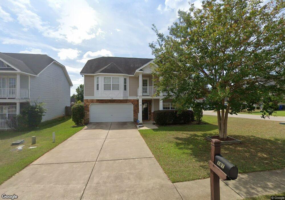
181 Nestle Ct Columbia, SC 29209
Southeast Columbia NeighborhoodEstimated Value: $271,693 - $304,000
4
Beds
3
Baths
2,401
Sq Ft
$119/Sq Ft
Est. Value
About This Home
This home is located at 181 Nestle Ct, Columbia, SC 29209 and is currently estimated at $286,673, approximately $119 per square foot. 181 Nestle Ct is a home located in Richland County with nearby schools including Mill Creek Elementary School, Hopkins Middle School, and Lower Richland High School.
Ownership History
Date
Name
Owned For
Owner Type
Purchase Details
Closed on
Nov 2, 2018
Sold by
Ospina Christopher L and Ospina Heather M
Bought by
Drayton Dwayne E and Drayton Gennice D
Current Estimated Value
Home Financials for this Owner
Home Financials are based on the most recent Mortgage that was taken out on this home.
Original Mortgage
$160,256
Outstanding Balance
$142,172
Interest Rate
5.25%
Mortgage Type
FHA
Estimated Equity
$144,501
Purchase Details
Closed on
Oct 7, 2009
Sold by
Hurricane Construction Inc
Bought by
Ospina Christopher L and Ospina Heather M
Home Financials for this Owner
Home Financials are based on the most recent Mortgage that was taken out on this home.
Original Mortgage
$170,079
Interest Rate
5.1%
Mortgage Type
VA
Create a Home Valuation Report for This Property
The Home Valuation Report is an in-depth analysis detailing your home's value as well as a comparison with similar homes in the area
Home Values in the Area
Average Home Value in this Area
Purchase History
| Date | Buyer | Sale Price | Title Company |
|---|---|---|---|
| Drayton Dwayne E | $175,000 | None Available | |
| Ospina Christopher L | $166,500 | -- |
Source: Public Records
Mortgage History
| Date | Status | Borrower | Loan Amount |
|---|---|---|---|
| Open | Drayton Dwayne E | $160,256 | |
| Previous Owner | Ospina Christopher L | $170,079 |
Source: Public Records
Tax History Compared to Growth
Tax History
| Year | Tax Paid | Tax Assessment Tax Assessment Total Assessment is a certain percentage of the fair market value that is determined by local assessors to be the total taxable value of land and additions on the property. | Land | Improvement |
|---|---|---|---|---|
| 2024 | $1,388 | $201,300 | $0 | $0 |
| 2023 | $1,388 | $7,000 | $0 | $0 |
| 2022 | $5,060 | $175,000 | $22,000 | $153,000 |
| 2021 | $5,101 | $10,500 | $0 | $0 |
| 2020 | $5,174 | $10,500 | $0 | $0 |
| 2019 | $5,188 | $10,500 | $0 | $0 |
| 2018 | $1,261 | $6,200 | $0 | $0 |
| 2017 | $1,228 | $6,200 | $0 | $0 |
| 2016 | $1,184 | $6,200 | $0 | $0 |
| 2015 | $1,184 | $6,200 | $0 | $0 |
| 2014 | $1,183 | $155,100 | $0 | $0 |
| 2013 | -- | $6,200 | $0 | $0 |
Source: Public Records
Map
Nearby Homes
- 175 Nestle Ct
- 106 Colonial Commons Ln
- 101 Colonial Commons Ln
- 115 Colonial Commons Ln
- 7819 Charles Towne Dr
- 263 Blue Savannah St
- 267 Blue Savannah St
- 155 Colonial Commons Ln
- 7712 Burdell Dr
- 1527 Burnside Ave
- 7600 Leitner Rd
- 7428 Fairmont Rd
- Fairview Plan at Cameron Ridge - 2-Story
- Hazel Plan at Cameron Ridge - 2-Story
- Birch Plan at Cameron Ridge - 2-Story
- Aspen Plan at Cameron Ridge - 2-Story
- Cedar Plan at Cameron Ridge - 2-Story
- Aruba Bay Plan at Cameron Ridge - Ranches
- Dominica Spring Plan at Cameron Ridge - Ranches
- Grand Cayman Plan at Cameron Ridge - Ranches
- 177 Nestle Ct
- 180 Nestle Ct
- 176 Nestle Ct
- 229 Musgroves Mill Ln
- 231 Musgroves Mill Ln
- 184 Nestle Ct
- 225 Musgroves Mill Ln
- 188 Nestle Ct
- 172 Nestle Ct
- 192 Nestle Ct
- 221 Musgroves Mill Ln
- 151 Moores Creek Dr
- 149 Moores Creek Dr
- 196 Nestle Ct
- 168 Nestle Ct
- 145 Moores Creek Dr
- 217 Musgroves Mill Ln
- 141 Moores Creek Dr
- 164 Nestle Ct
- 213 Musgroves Mill Ln