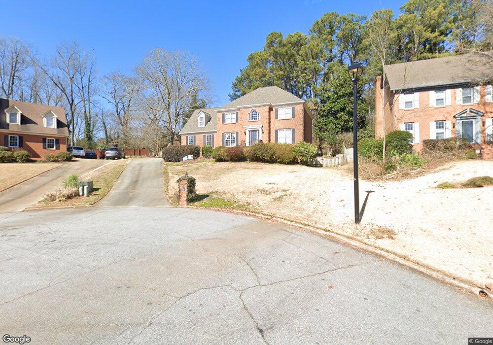
181 Newport Ln SW Unit 1 Lilburn, GA 30047
Estimated Value: $474,000 - $562,832
4
Beds
3
Baths
3,214
Sq Ft
$159/Sq Ft
Est. Value
About This Home
This home is located at 181 Newport Ln SW Unit 1, Lilburn, GA 30047 and is currently estimated at $511,708, approximately $159 per square foot. 181 Newport Ln SW Unit 1 is a home located in Gwinnett County with nearby schools including Knight Elementary School, Trickum Middle School, and Parkview High School.
Ownership History
Date
Name
Owned For
Owner Type
Purchase Details
Closed on
Aug 16, 2019
Sold by
Snow William P
Bought by
Snow Amy L
Current Estimated Value
Purchase Details
Closed on
May 19, 2005
Sold by
Perkins William B and Perkins Carol
Bought by
Snow William P and Snow Amy
Home Financials for this Owner
Home Financials are based on the most recent Mortgage that was taken out on this home.
Original Mortgage
$239,000
Interest Rate
5.69%
Mortgage Type
New Conventional
Create a Home Valuation Report for This Property
The Home Valuation Report is an in-depth analysis detailing your home's value as well as a comparison with similar homes in the area
Home Values in the Area
Average Home Value in this Area
Purchase History
| Date | Buyer | Sale Price | Title Company |
|---|---|---|---|
| Snow Amy L | -- | -- | |
| Snow William P | $310,000 | -- |
Source: Public Records
Mortgage History
| Date | Status | Borrower | Loan Amount |
|---|---|---|---|
| Previous Owner | Snow William P | $239,000 |
Source: Public Records
Tax History Compared to Growth
Tax History
| Year | Tax Paid | Tax Assessment Tax Assessment Total Assessment is a certain percentage of the fair market value that is determined by local assessors to be the total taxable value of land and additions on the property. | Land | Improvement |
|---|---|---|---|---|
| 2025 | -- | $211,920 | $36,000 | $175,920 |
| 2024 | $7,149 | $213,520 | $36,000 | $177,520 |
| 2023 | $7,149 | $192,840 | $32,000 | $160,840 |
| 2022 | $6,488 | $172,320 | $32,000 | $140,320 |
| 2021 | $5,289 | $136,320 | $26,800 | $109,520 |
| 2020 | $5,229 | $133,800 | $24,000 | $109,800 |
| 2019 | $3,904 | $124,440 | $24,000 | $100,440 |
| 2018 | $3,619 | $111,000 | $20,000 | $91,000 |
| 2016 | $3,480 | $103,560 | $20,000 | $83,560 |
| 2015 | $3,641 | $109,280 | $24,000 | $85,280 |
| 2014 | $3,658 | $109,280 | $24,000 | $85,280 |
Source: Public Records
Map
Nearby Homes
- 4239 River Branch Way
- 156 Round Pond Dr
- 312 Westminister Ln SW
- 246 Round Pond Dr
- 234 Shadow Lake Dr SW
- 3900 Safehaven Dr
- Oxford Plan at The Preserve at Killian Hill - Townhomes
- 4358 Louis Rd SW
- 445 Bruce Way SW
- 383 Ben Ave SW
- 495 Tambec Trace NW Unit 2
- 4160 Tillrock Ln
- 4181 Tillrock Ln
- 4080 Landress Park Dr NW Unit 1
- 478 Dorsey Cir SW
- 4005 Leeambur Ct NW
- 146 King David Dr SW
- The Tyndall Plan at Annsbury Park
- The Maisie II Plan at Annsbury Park
- 171 Newport Ln SW
- 191 Newport Ln SW Unit 1
- 4154 Rivermeade Dr SW
- 4164 Rivermeade Dr SW
- 201 Newport Ln SW
- 211 Newport Ln SW
- 161 Newport Ln SW
- 4144 Rivermeade Dr SW
- 4174 Rivermeade Dr SW
- 182 Newport Ln SW
- 4134 Rivermeade Dr SW
- 0 Rivermeade Dr SW Unit 7086504
- 0 Rivermeade Dr SW Unit 7277181
- 0 Rivermeade Dr SW Unit 8891781
- 0 Rivermeade Dr SW Unit 8181905
- 0 Rivermeade Dr SW Unit 8142813
- 0 Rivermeade Dr SW
- 151 Newport Ln SW Unit 1
- 0 Newport Ln SW Unit 8351765
- 0 Newport Ln SW Unit 8327241