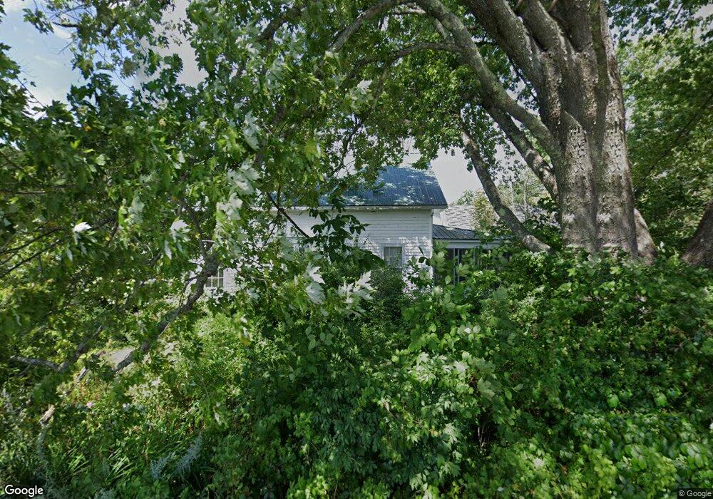
181 Range E Rd Limerick, ME 04048
Estimated Value: $469,000 - $518,000
3
Beds
2
Baths
1,673
Sq Ft
$301/Sq Ft
Est. Value
About This Home
This home is located at 181 Range E Rd, Limerick, ME 04048 and is currently estimated at $504,288, approximately $301 per square foot. 181 Range E Rd is a home located in York County with nearby schools including Massabesic High School.
Create a Home Valuation Report for This Property
The Home Valuation Report is an in-depth analysis detailing your home's value as well as a comparison with similar homes in the area
Home Values in the Area
Average Home Value in this Area
Tax History
| Year | Tax Paid | Tax Assessment Tax Assessment Total Assessment is a certain percentage of the fair market value that is determined by local assessors to be the total taxable value of land and additions on the property. | Land | Improvement |
|---|---|---|---|---|
| 2025 | $4,934 | $519,347 | $128,778 | $390,569 |
| 2024 | $4,934 | $519,347 | $128,778 | $390,569 |
| 2023 | $5,252 | $345,532 | $70,619 | $274,913 |
| 2022 | $4,948 | $348,467 | $73,555 | $274,912 |
| 2021 | $4,638 | $279,401 | $59,471 | $219,930 |
| 2020 | $4,594 | $280,148 | $60,218 | $219,930 |
| 2019 | $4,423 | $280,838 | $60,908 | $219,930 |
| 2018 | $4,537 | $280,931 | $61,001 | $219,930 |
| 2017 | $4,419 | $280,582 | $60,652 | $219,930 |
| 2016 | $4,747 | $315,430 | $95,500 | $219,930 |
| 2015 | $4,605 | $315,430 | $95,500 | $219,930 |
| 2014 | $4,463 | $315,430 | $95,500 | $219,930 |
Source: Public Records
Map
Nearby Homes
- 515 Range East Rd
- 0 Stone Hill Rd
- 451 Range E Rd
- 545 Foss Rd
- 5 Wescott St
- 33 Maple St
- 0 Quarry Rd
- 24 Emery Corner Rd
- 4 Deer Crossing Rd
- LOT# 8 Business Park Rd
- Lot# 11 Business Park Rd
- 33 Arrowhead Ln
- 240 Leisure Ln
- 50 Island Rd
- TBD Sokokis Trail & Beaver Brook Rd
- 725 Water St
- 0 Island Rd Unit 1643509
- 154 Staples Rd
- 16 Whiteley Rd
- 14 Pleasant Hill Rd
Your Personal Tour Guide
Ask me questions while you tour the home.