181 River Street Extension Billerica, MA 01821
Estimated Value: $680,000 - $767,000
4
Beds
2
Baths
2,787
Sq Ft
$259/Sq Ft
Est. Value
About This Home
This home is located at 181 River Street Extension, Billerica, MA 01821 and is currently estimated at $721,695, approximately $258 per square foot. 181 River Street Extension is a home located in Middlesex County with nearby schools including Billerica Memorial High School and Knowledge Beginnings South.
Ownership History
Date
Name
Owned For
Owner Type
Purchase Details
Closed on
Mar 13, 2025
Sold by
Corell Robert W and Corell Mary H
Bought by
181 River Street Ext Rt and Corell
Current Estimated Value
Purchase Details
Closed on
Sep 19, 1988
Sold by
Ledoux Joan A
Bought by
Carroll Robert W
Create a Home Valuation Report for This Property
The Home Valuation Report is an in-depth analysis detailing your home's value as well as a comparison with similar homes in the area
Home Values in the Area
Average Home Value in this Area
Purchase History
| Date | Buyer | Sale Price | Title Company |
|---|---|---|---|
| 181 River Street Ext Rt | -- | None Available | |
| 181 River Street Ext Rt | -- | None Available | |
| Carroll Robert W | $120,000 | -- |
Source: Public Records
Mortgage History
| Date | Status | Borrower | Loan Amount |
|---|---|---|---|
| Previous Owner | Carroll Robert W | $262,650 | |
| Previous Owner | Carroll Robert W | $249,000 | |
| Previous Owner | Carroll Robert W | $55,000 |
Source: Public Records
Tax History Compared to Growth
Tax History
| Year | Tax Paid | Tax Assessment Tax Assessment Total Assessment is a certain percentage of the fair market value that is determined by local assessors to be the total taxable value of land and additions on the property. | Land | Improvement |
|---|---|---|---|---|
| 2025 | $7,360 | $647,300 | $328,100 | $319,200 |
| 2024 | $6,784 | $600,900 | $321,500 | $279,400 |
| 2023 | $6,647 | $560,000 | $280,600 | $279,400 |
| 2022 | $6,190 | $489,700 | $243,900 | $245,800 |
| 2021 | $5,909 | $454,500 | $215,400 | $239,100 |
| 2020 | $5,788 | $445,600 | $206,500 | $239,100 |
| 2019 | $5,556 | $412,200 | $206,500 | $205,700 |
| 2018 | $5,429 | $382,600 | $183,300 | $199,300 |
| 2017 | $5,141 | $364,900 | $177,600 | $187,300 |
| 2016 | $5,044 | $356,700 | $173,700 | $183,000 |
| 2015 | $5,008 | $356,700 | $173,700 | $183,000 |
| 2014 | $4,904 | $343,200 | $166,400 | $176,800 |
Source: Public Records
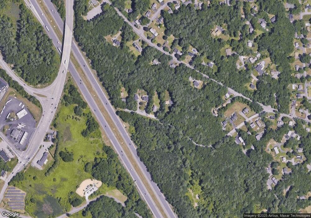
Map
Nearby Homes
- 15 Blades Cir
- 21 Shedd Rd
- 10 Avondale Ave
- 14 Elsie Ave
- 79 Bridle Rd
- 11 Simonds Farm Rd
- 19 Parker St
- 216 Rangeway Rd Unit 192
- 198 Nashua Rd
- 13 Westgate Rd
- Map29-14-1 Rangeway Rd
- 5 Karen Cir Unit 16
- 405 Boston Rd Unit 2
- 396 Boston Rd Unit 103
- 2 Karen Cir Unit 2
- 23 Salem Rd
- 10 Charnstaff Ln Unit 204
- 90 Rangeway Rd Unit 303
- 14 Kenmar Dr Unit 111
- 22 Kenmar Dr Unit 194Y
- 179 River Street Extension
- 241 River Street Extension
- LOT 2 River Street Extension
- 245 River Street Extension
- 49P194 River Street Extension
- 286 River St
- 280 River St
- 270 River St
- 288 River St
- 290 River St
- 275 River St
- 273 River St
- 685 Old Middlesex Turnpike
- 279 River St
- 271 River St
- 239 River Street Extension
- 264 River St
- 283 River St
- 294 River St
- 235 River Street Extension