181 Robin Ln Port Ludlow, WA 98365
Estimated Value: $504,000 - $593,000
2
Beds
2
Baths
1,428
Sq Ft
$378/Sq Ft
Est. Value
About This Home
This home is located at 181 Robin Ln, Port Ludlow, WA 98365 and is currently estimated at $540,279, approximately $378 per square foot. 181 Robin Ln is a home located in Jefferson County with nearby schools including Chimacum Creek Primary School, Chimacum School Pi Program, and Chimacum Elementary School.
Ownership History
Date
Name
Owned For
Owner Type
Purchase Details
Closed on
Jan 18, 2022
Sold by
Avery Jason E
Bought by
Kelly Sarah D
Current Estimated Value
Purchase Details
Closed on
Jan 13, 2021
Sold by
Kelly Steven J and Kelly Pamela M
Bought by
Avery Jason E and Avery Sarah D
Home Financials for this Owner
Home Financials are based on the most recent Mortgage that was taken out on this home.
Original Mortgage
$366,175
Interest Rate
2.71%
Mortgage Type
New Conventional
Create a Home Valuation Report for This Property
The Home Valuation Report is an in-depth analysis detailing your home's value as well as a comparison with similar homes in the area
Home Values in the Area
Average Home Value in this Area
Purchase History
| Date | Buyer | Sale Price | Title Company |
|---|---|---|---|
| Kelly Sarah D | -- | None Listed On Document | |
| Avery Jason E | $377,500 | First American Title |
Source: Public Records
Mortgage History
| Date | Status | Borrower | Loan Amount |
|---|---|---|---|
| Previous Owner | Avery Jason E | $366,175 |
Source: Public Records
Tax History Compared to Growth
Tax History
| Year | Tax Paid | Tax Assessment Tax Assessment Total Assessment is a certain percentage of the fair market value that is determined by local assessors to be the total taxable value of land and additions on the property. | Land | Improvement |
|---|---|---|---|---|
| 2024 | $3,623 | $480,382 | $118,125 | $362,257 |
| 2023 | $3,623 | $454,007 | $107,500 | $346,507 |
| 2022 | $3,323 | $433,256 | $102,500 | $330,756 |
| 2021 | $2,397 | $359,497 | $78,000 | $281,497 |
| 2020 | $2,288 | $242,110 | $56,250 | $185,860 |
| 2019 | $2,086 | $223,313 | $51,750 | $171,563 |
| 2018 | $2,264 | $204,516 | $47,250 | $157,266 |
| 2017 | $2,106 | $197,367 | $47,250 | $150,117 |
| 2016 | $2,009 | $187,969 | $45,000 | $142,969 |
| 2015 | $1,980 | $178,634 | $40,000 | $138,634 |
| 2014 | -- | $178,634 | $40,000 | $138,634 |
| 2013 | -- | $178,635 | $40,000 | $138,635 |
Source: Public Records
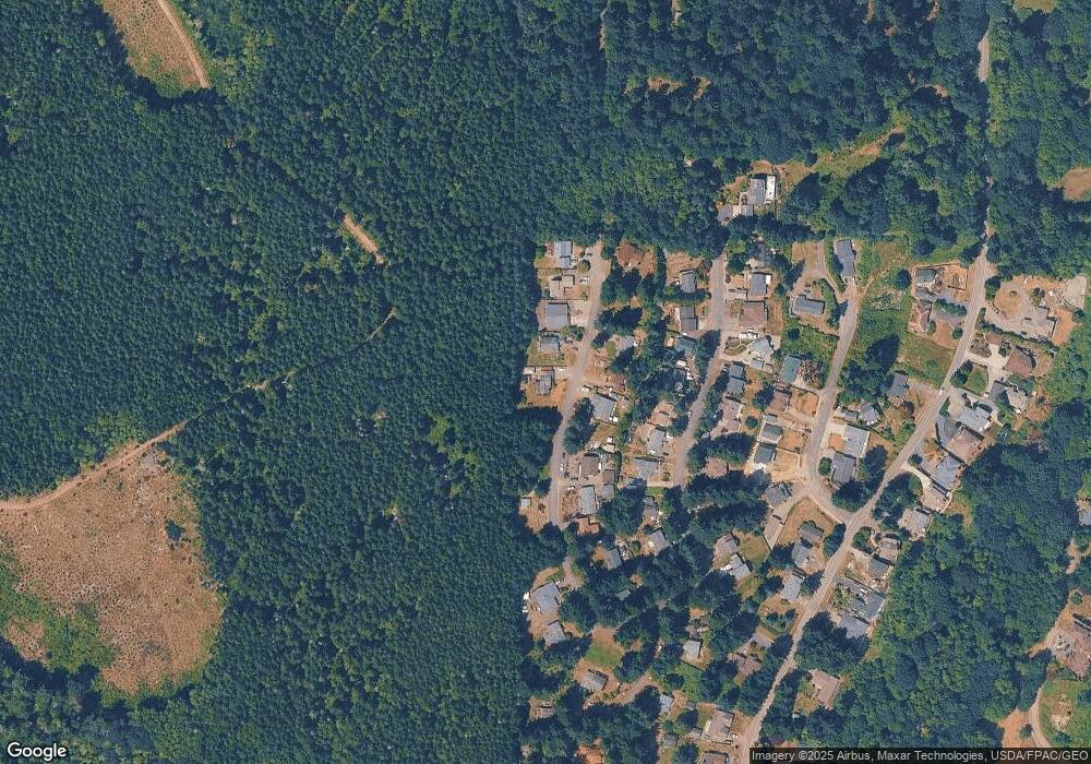
Map
Nearby Homes
- 36 Eagleview Ln
- 784 Thorndyke Rd
- 0 Seattle Dr
- 42 Maxview Dr
- 999 Maxview Dr
- 1172 Thorndyke Rd
- 365 Seattle Dr
- 262 Margaret St
- 21 Blueberry Hill Rd
- 155 Blueberry Hill Rd
- 27405 Lofall Ct NW
- 2 XXX NW Park St
- 1799 NW Mulholland Blvd
- 27017 Tamsen Ave NW
- 131 Linda View Ln
- 0 Linda View Ln Unit NWM2374154
- 1881 NW Seclusion Cove Way
- 26388 Ansell Rd NW
- 2135 Shine Rd
- 1918 NW Russell St