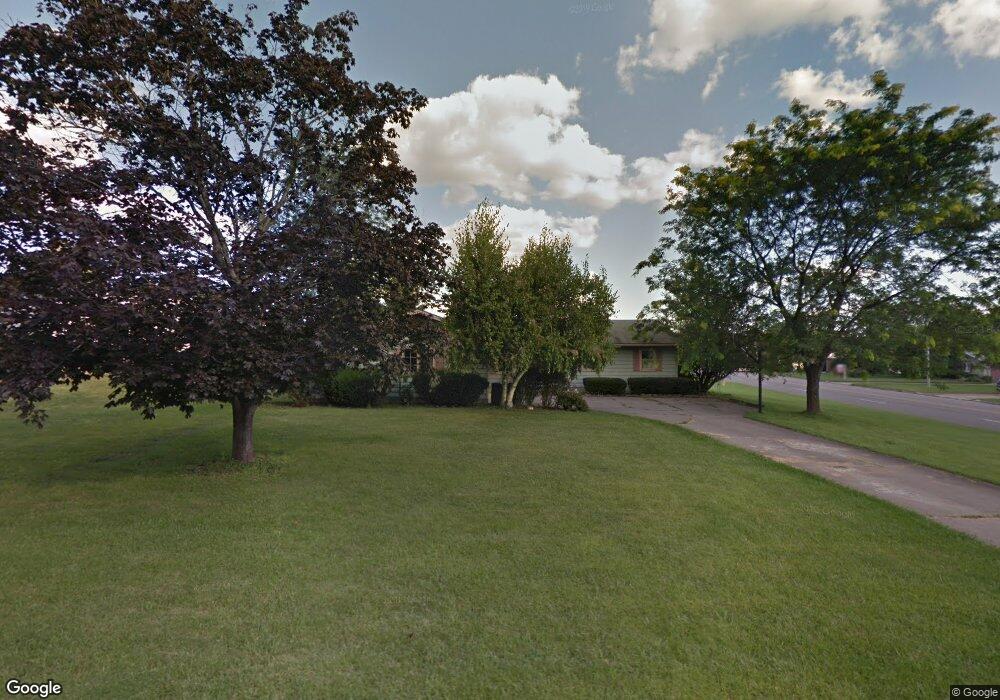
181 Runnemede Dr Youngstown, OH 44512
Estimated Value: $216,000 - $228,000
3
Beds
2
Baths
1,440
Sq Ft
$155/Sq Ft
Est. Value
About This Home
This home is located at 181 Runnemede Dr, Youngstown, OH 44512 and is currently estimated at $222,975, approximately $154 per square foot. 181 Runnemede Dr is a home located in Mahoning County with nearby schools including Stadium Drive Elementary School, Boardman Center Middle School, and Boardman High School.
Ownership History
Date
Name
Owned For
Owner Type
Purchase Details
Closed on
Sep 3, 2020
Sold by
Lyons Terri Lee and Bartolone Tammi Lynn
Bought by
Linden James A and Linden Carol M
Current Estimated Value
Home Financials for this Owner
Home Financials are based on the most recent Mortgage that was taken out on this home.
Original Mortgage
$81,185
Outstanding Balance
$71,365
Interest Rate
3%
Mortgage Type
New Conventional
Estimated Equity
$151,610
Purchase Details
Closed on
Jan 3, 1995
Sold by
Clark Timothy
Bought by
Gent Donald L
Home Financials for this Owner
Home Financials are based on the most recent Mortgage that was taken out on this home.
Original Mortgage
$69,600
Interest Rate
5.75%
Mortgage Type
New Conventional
Purchase Details
Closed on
Dec 28, 1989
Bought by
Clark Timothy and Clark Gail M
Create a Home Valuation Report for This Property
The Home Valuation Report is an in-depth analysis detailing your home's value as well as a comparison with similar homes in the area
Home Values in the Area
Average Home Value in this Area
Purchase History
We collect this data history from publicly available records. To have your information removed, we recommend requesting removal directly through your county’s website.
| Date | Buyer | Sale Price | Title Company |
|---|---|---|---|
| Linden James A | $124,900 | None Available | |
| Gent Donald L | $87,000 | -- | |
| Clark Timothy | $65,500 | -- |
Source: Public Records
Mortgage History
We collect this data history from publicly available records. To have your information removed, we recommend requesting removal directly through your county’s website.
| Date | Status | Borrower | Loan Amount |
|---|---|---|---|
| Open | Linden James A | $81,185 | |
| Previous Owner | Gent Donald L | $69,600 |
Source: Public Records
Tax History
| Year | Tax Paid | Tax Assessment Tax Assessment Total Assessment is a certain percentage of the fair market value that is determined by local assessors to be the total taxable value of land and additions on the property. | Land | Improvement |
|---|---|---|---|---|
| 2025 | $2,090 | $61,490 | $12,480 | $49,010 |
| 2024 | $2,173 | $61,490 | $12,480 | $49,010 |
| 2023 | $2,658 | $61,490 | $12,480 | $49,010 |
| 2022 | $2,811 | $51,150 | $12,470 | $38,680 |
| 2021 | $3,268 | $49,460 | $12,470 | $36,990 |
| 2020 | $3,009 | $44,300 | $12,470 | $31,830 |
| 2019 | $2,033 | $35,160 | $9,900 | $25,260 |
| 2018 | $1,741 | $35,160 | $9,900 | $25,260 |
| 2017 | $999 | $35,160 | $9,900 | $25,260 |
| 2016 | $1,465 | $31,130 | $9,900 | $21,230 |
| 2015 | $1,436 | $31,130 | $9,900 | $21,230 |
| 2014 | $1,440 | $31,130 | $9,900 | $21,230 |
| 2013 | $1,422 | $31,130 | $9,900 | $21,230 |
Source: Public Records
Map
Nearby Homes
- 178 Carter Cir
- 1242 W Western Reserve Rd
- 0 W Western Reserve Rd Unit 5188999
- 101 Creston Dr
- 9264 Sharrott Rd Unit 1604
- 9264 Sharrott Rd Unit 1002
- 9264 Sharrott Rd Unit 201
- 9264 Sharrott Rd Unit 804
- 62 E Western Reserve Rd Unit 3
- 156 Roche Way
- 1594 W Western Reserve Rd
- 9170 Woodworth Rd
- 8218 Maramont Dr Unit B
- 9206 Woodworth Rd
- 123 Mayflower Dr
- 134 Mayflower Dr
- 624 Angiline Dr
- 8230 Stadler Ave
- 363 Maple Dr
- 8045 Deerpath Dr
- 177 Runnemede Dr
- 173 Runnemede Dr
- 27 Carter Cir
- 8546 Glenwood Ave
- 186 Runnemede Dr
- 31 Carter Cir
- 8550 Glenwood Ave
- 182 Runnemede Dr
- 8554 Glenwood Ave
- 169 Runnemede Dr
- 178 Runnemede Dr
- 8538 Glenwood Ave
- 176 Runnemede Dr
- 172 Runnemede Dr
- 8527 Glenwood Ave
- 8562 Glenwood Ave Unit 4
- 8562 Glenwood Ave Unit 3
- 8562 Glenwood Ave Unit 1
- 165 Runnemede Dr
- 8534 Glenwood Ave
Your Personal Tour Guide
Ask me questions while you tour the home.